Landsat’s Role in Managing Ecosystems and Biodiversity
Our world is made of complex networks of living things and physical elements that constantly interact and affect each other. Such networks are known as “ecosystems.” Healthy and economically important ecosystems such as temperate forests, wetlands, grasslands, coastal zones, coral reefs, and rainforests all play roles in human life. For example, farm and rangeland ecosystems must be healthy to produce the grains and livestock on which we depend as a nation. Marine ecosystems depend on the health of land ecosystems, because coastal areas provide habitat needed to support the productivity and diversity of aquatic organisms. Landsat has brought valuable capabilities to ecosystem studies. Landsat instruments measure reflected light in visible and infrared wavelengths. Because plants reflect little visible light and a lot of infrared light when they are healthy, the measurement of both types of light simultaneously gives scientists a way to assess plant health and density over a landscape. Measurements are detailed enough while still covering a wide area that ecologists can expand their interpretations of local events and processes, such as an insect infestation in a specific forest, to a regional scale. This helps them to gauge the health of larger ecosystems. Because Landsat data are accurately mapped to reference points on the ground and adjusted for topographic relief, they can be integrated with other geographic data sets and models to explore more complex studies of ecosystems and biodiversity across space and time.
How Satellite Data Changed Chimpanzee Conservation Efforts
Approximately 345,000 or fewer chimpanzees remain in the wild, according to the International Union for the Conservation of Nature, a substantial decline from the more than two million that existed a hundred years ago.
![wetland](https://landsat.gsfc.nasa.gov/wp-content/uploads/2017/01/20170112-nu1-1.png)
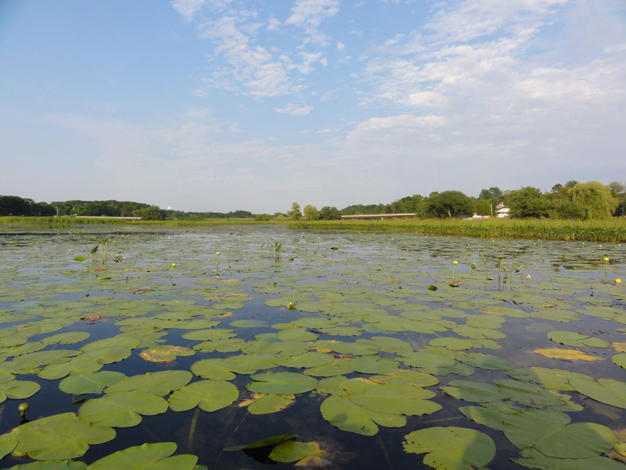
Where the Wetlands Are
Documenting and protecting wetlands has become crucial to the eight states and two Canadian provinces thronging the Great Lakes.
Apalachicola's Disappearing Swamp
The hardwood swamp along the Apalachicola River is slowly replaced by bottomland hardwood forest.
Tracking Water Resources in California's Central Valley
A near real-time water resources tracking and decision-support system for the Central Valley of California.
What Satellites Can Tell Us About How Animals Will Fare in a Changing Climate
From the Arctic to the Mojave Desert, terrestrial and marine habitats are quickly changing. Satellites are particularly well-suited to observe habitat transformation and help scientists forecast what animals might do next.
How Louisiana's Coastal Marshes are Responding to Climate Change
Louisiana’s coastal marshes are responding to climate change.