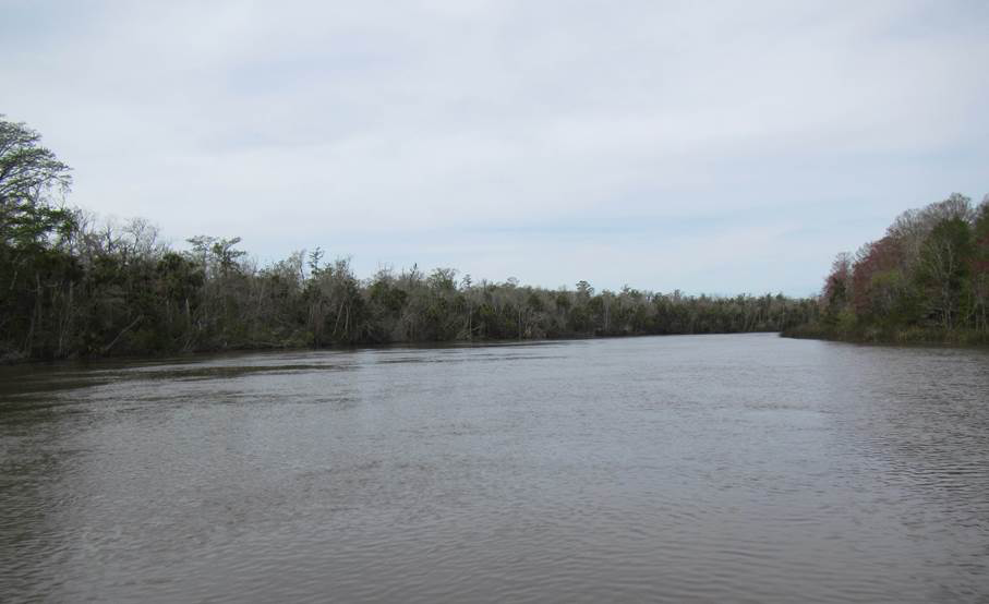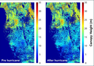
Photo credit: Sergio Fagherazzi
By Laura E.P. Rocchio
Dr. Sergio Fagherazzi is an associate professor of Earth and Environment at Boston University. At #AGU16 this year, he gave a talk on his work looking at the forest shift happening in Florida’s Apalachicola delta.
Here is what he shared with us:
Presentation Title
Interactions between river stage and wetland vegetation detected with a Seasonality Index derived from Landsat images in the Apalachicola delta, Florida
What are the major findings of this research?
Our results show that the hardwood swamp in the Apalachicola River, dominated by bald cypress and water tupelo, is slowly replaced by bottomland hardwood forest. This forest shift is driven by lower water levels in the Apalachicola River in the last 30 years.
What are the implications of your findings?
The Apalachicola River basin is one of the six biodiversity hotspots in the United states. A shift is vegetation cover could potentially reduce the number of tree species as well affect birds, fish, and reptiles.
What insight did you gain from Landsat that would have been impossible to glean otherwise?
Landsat data allowed us to distinguish between hardwood swamp, the typical forest in the Apalachicola River floodplain, and bottomland hardwood forest, the encroaching forest that thrives on drier soils.
How was the seasonality index developed?
The seasonality index was developed by comparing the NDVI in winter months to the NDVI in summer months. The hardwood swamp displays a much lower NDVI during winter with respect the bottomland hardwood forest.
Marco Toffolon
University of Trento
Daniele la Cecilia
University of Trento
Curtis E Woodcock
Boston University
This research was partly supported by the donors of the American Chemical Society Petroleum Research Fund and the National Science Foundation (VCR-LTER program).
Anyone can freely download Landsat data from the USGS EarthExplorer or LandsatLook.
Further Reading:
+ Landsat Abounds at #AGU16


