Mapping Dissolved Organic Matter in Tropical Inland Waters with Landsat 8
Using Landsat 8 to map the colored dissolved organic matter of inland tropical waters.

Using Landsat 8 to map the colored dissolved organic matter of inland tropical waters.
Using Landsat 8 to create three-dimensional maps of volcanic ash plumes.
The hardwood swamp along the Apalachicola River is slowly replaced by bottomland hardwood forest.
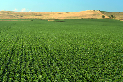
Using Landsat to map croplands over the U.S. High Plains Aquifer.
Understanding the relationship between land use and river flows in the Yarmouk basin.
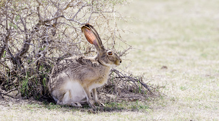
An approach for evaluating brush management conservation.
On creating a high-quality map of urban areas in India.
