
Today at #AGU16, Dr. Chandra D. Holifield Collins, a soil scientist, with the USDA Agricultural Research Service presented a poster on improving brush management on rangelands. Dr. Collins spoke with us about this research:
Presentation Title
Rangeland Brush Estimation Toolbox (RaBET): An Approach for Evaluating Brush Management Conservation Efforts in Western Grazing Lands
What are the major findings of this research?
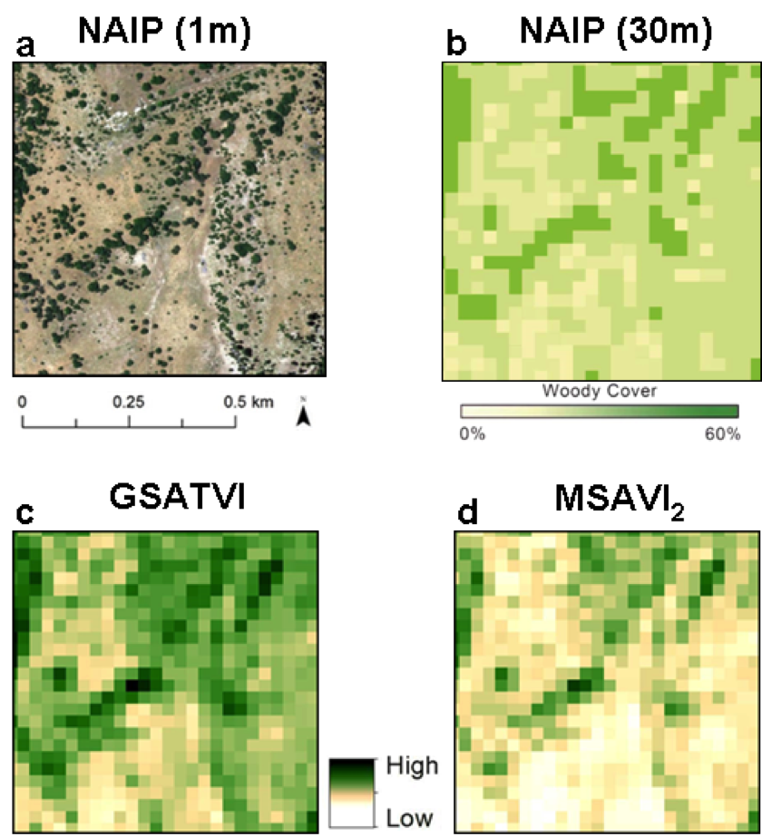
Combining the spectral and temporal resolutions of Landsat with high resolution imagery and knowledge of local phenology produced the best estimates of woody plant cover.
What are the implications of your findings?
We are able to develop a methodology utilizing free, publically available information that drives an operational tool for rangeland managers to help focus resources in planning and monitoring effects of conservation practices like brush removal. There is currently no affordable means to do this over large scales in western rangelands.
What insight did you gain from Landsat that would have been impossible to glean otherwise?
It would not have been possible to create a tool like RaBET without the continuity of the Landsat Missions. Specifically, the 16-day revisit time, extremely long data record, inclusion of shortwave infrared bands, and a spatial resolution appropriate for land management are all necessary for RaBET.
Could you provide some examples of where and how RaBET has been used (or will be used) operationally?
RaBET will initially be used in central Texas and southeastern Arizona on rangelands where the USDA-Natural Resources Conservation Service (NRCS) has employed brush removal treatments as a conservation practice.
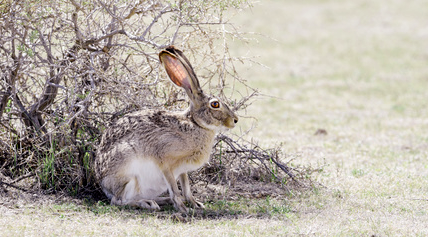
Are there a lot of rabbits in the rangelands and grazed forests where RaBET is used?
Yes! There are many rabbits, including jackrabbits, in the rangelands where RaBET is used.
Co-authors:
Mark Anderson Kautz
University of Arizona
Susan M Skirvin
Contract Geostatistician
Loretta J Metz
USDA-NRCS
Funding for this research was provided by the USDA-Natural Resources Conservation Service (NRCS) Conservation Effects Assessment Project on Grazing Lands (CEAP-GL) program.
Anyone can freely download Landsat data from the USGS EarthExplorer or LandsatLook.
Further Reading:
+ Landsat Abounds at #AGU16


