
Here is what he shared with us:
Presentation Title
Combining Remote Sensing and Multi-Agent Simulation to Assess Alternative Water Management Policies in Conflict-Prone Areas – The Case of the Yarmouk River Basin
What are the major findings of this research?
This research is still ongoing, but the main objective is to understand the relationship between land use and river flows in the Yarmouk basin (shared by Jordan, Syria and Israel). Indeed, due to the current conflict in Syria and the impossibility of conducting any ground studies, we had to rely on remote sensing analysis for our modeling.
What are the implications of your findings?
Remote sensing can be a useful tool not only to get a qualitative estimation of irrigation or storage variations, but also quantitative measures of these important parameters. It seems that extensive abstraction in the basin (from both surface water and groundwater) led to a decrease in the Yarmouk flow in the last few decades.
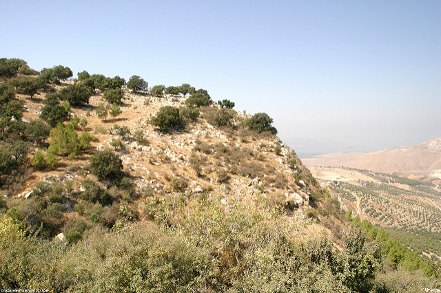
What insight did you gain from Landsat that would have been impossible to glean otherwise?
Thanks to its detailed spatial resolution, Landsat made the estimation of small reservoirs’ surface area possible.
Will this work be shared with water policy experts from the affected countries?
This study has been conducted as part of the Jordan Water Project. We are working closely with Jordanian officials from the Ministry of Water and Irrigation (MWI) and other governmental organizations. We are also planning to deliver a model that could eventually be used by Jordan to test the impact of potential scenarios on the Jordan water system.

Co-authors:
Amaury Tilmant
Hua Zhang
Texas A&M University Corpus Christi
Samer Talozi
Jordan University of Science and Technology
Marc Francois Muller
University of California Berkeley
Deepthi Rajsekhar
Stanford University
Jim Yoon
Stanford University
Steven Gorelick
Stanford University
Funding for this research comes from the Belmont Forum and G8 Research Council, and from NSF – NSERC.
Anyone can freely download Landsat data from the USGS EarthExplorer or LandsatLook.
Further Reading:
+ Landsat Abounds at #AGU16

Be Part of What’s Next: Emerging Applications of Landsat at AGU24
Anyone making innovative use of Landsat data to meet societal needs today and during coming decades is encouraged to submit and abstract for the upcoming “Emerging Science Applications of Landsat” session at AGU24.


