Landsat’s Role in Managing Ecosystems and Biodiversity
Our world is made of complex networks of living things and physical elements that constantly interact and affect each other. Such networks are known as “ecosystems.” Healthy and economically important ecosystems such as temperate forests, wetlands, grasslands, coastal zones, coral reefs, and rainforests all play roles in human life. For example, farm and rangeland ecosystems must be healthy to produce the grains and livestock on which we depend as a nation. Marine ecosystems depend on the health of land ecosystems, because coastal areas provide habitat needed to support the productivity and diversity of aquatic organisms. Landsat has brought valuable capabilities to ecosystem studies. Landsat instruments measure reflected light in visible and infrared wavelengths. Because plants reflect little visible light and a lot of infrared light when they are healthy, the measurement of both types of light simultaneously gives scientists a way to assess plant health and density over a landscape. Measurements are detailed enough while still covering a wide area that ecologists can expand their interpretations of local events and processes, such as an insect infestation in a specific forest, to a regional scale. This helps them to gauge the health of larger ecosystems. Because Landsat data are accurately mapped to reference points on the ground and adjusted for topographic relief, they can be integrated with other geographic data sets and models to explore more complex studies of ecosystems and biodiversity across space and time.
![the Río Cauto Delta](https://landsat.gsfc.nasa.gov/wp-content/uploads/2020/08/riocautodelta_oli_202014_lrg_2-2048x1096_0.jpg)
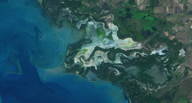
NASA Study Maps the Roots of Global Mangrove Loss
Using Landsat, researchers have created the first map of the causes of change in global mangrove habitats between 2000 and 2016—a valuable tool to aid conservation efforts for these vital coastline defenders.
![LANDFIRE Remap](https://landsat.gsfc.nasa.gov/wp-content/uploads/2020/07/LANDFIRE_remap.jpg)
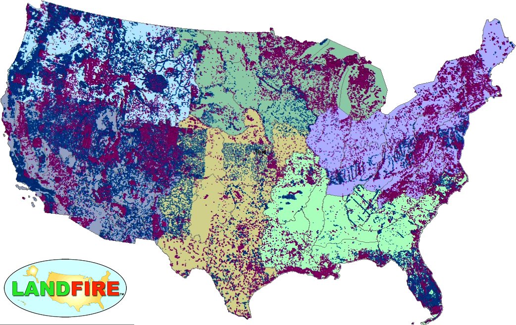
LANDFIRE Remap Is Here
LANDFIRE has released its Remap dataset; new techniques and new data provide significant improvement.
![Liza Goldberg](https://landsat.gsfc.nasa.gov/wp-content/uploads/2020/07/LizaGoldberg.png)
Student Liza Goldberg Uses National Geographic Young Explorers Grant to Bring Satellite Imagery into Classrooms
Goldberg will launch Cloud to Classroom, an innovative project that uses satellite imagery to help K-12 classrooms understand global environmental change through remote sensing.
![](https://landsat.gsfc.nasa.gov/wp-content/uploads/2020/07/Panama_foresthabitat-2048x1053_0.png)
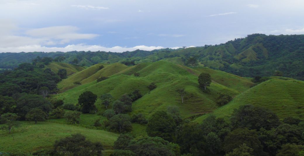
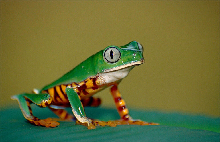
Using Landsat Data to Assess Regeneration in Tropical Forests
A team of Boise State researchers is helping forecast tropical forest recovery from deforestation using Landsat satellite data.
![Dr. Lagomasino (front, in hat) and students from Omar Bongo University](https://landsat.gsfc.nasa.gov/wp-content/uploads/2020/06/selfie_in_field_with_other_researchers_resize.jpg)
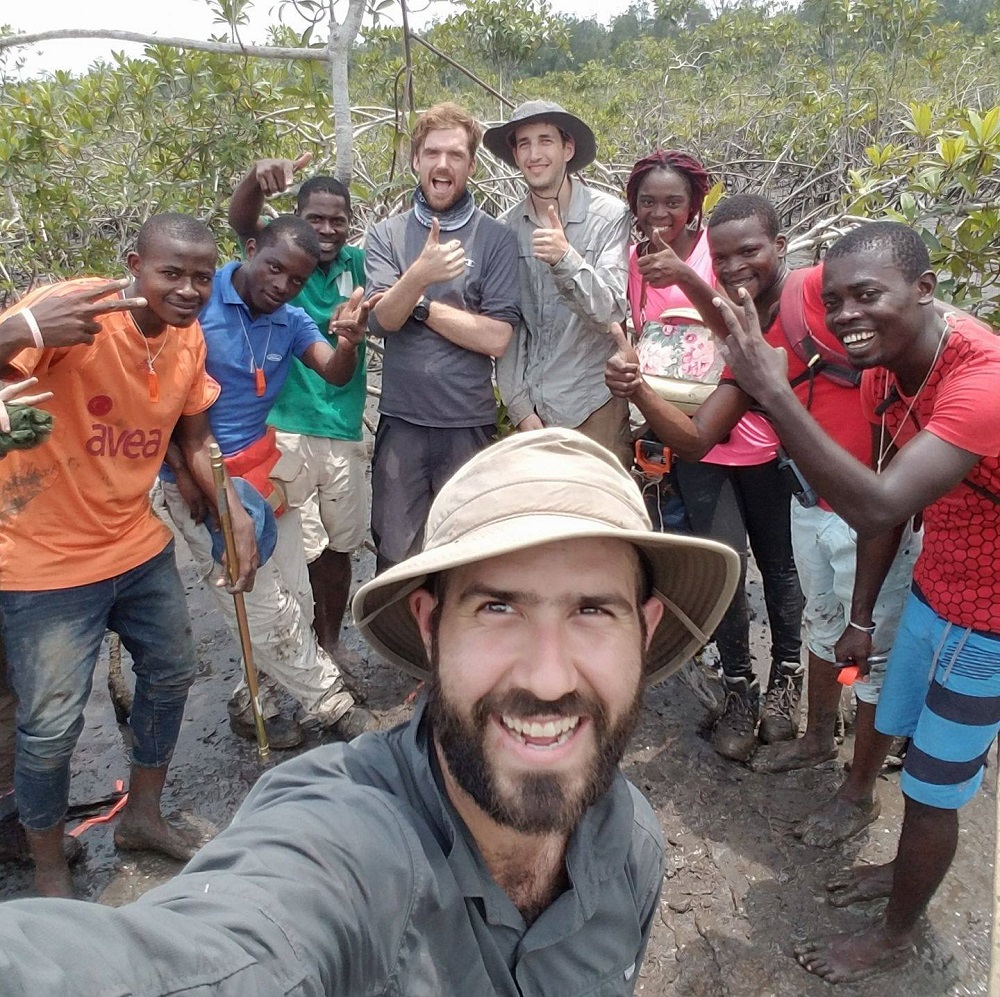
Meet Dr. David Lagomasino
Coastal ecosystems are some of Earth’s most biologically diverse environments, especially coastal mangrove forests. Dr. Lagomasino uses Earth observing data to study these vital biomes.
![A tiger-striped leaf frog (Phyllomedusa tomopterna) sits on a leaf.](https://landsat.gsfc.nasa.gov/wp-content/uploads/2020/06/1024px-tiger-striped_leaf_frog_phyllomedusa_tomopterna_10377591806-768x496-1.jpg)
NASA Fosters Innovative Ways to Understand Biodiversity
NASA has funded four projects to create new, virtual portals to share a wealth of biodiversity information with land stewards around the world.