

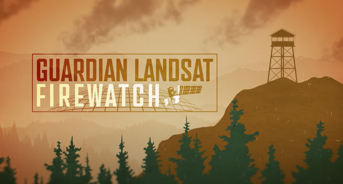
Guardian Landsat on Firewatch
Landsat collects data that helps effectively deal with intensifying wildfires—at all stages of the fire cycle.
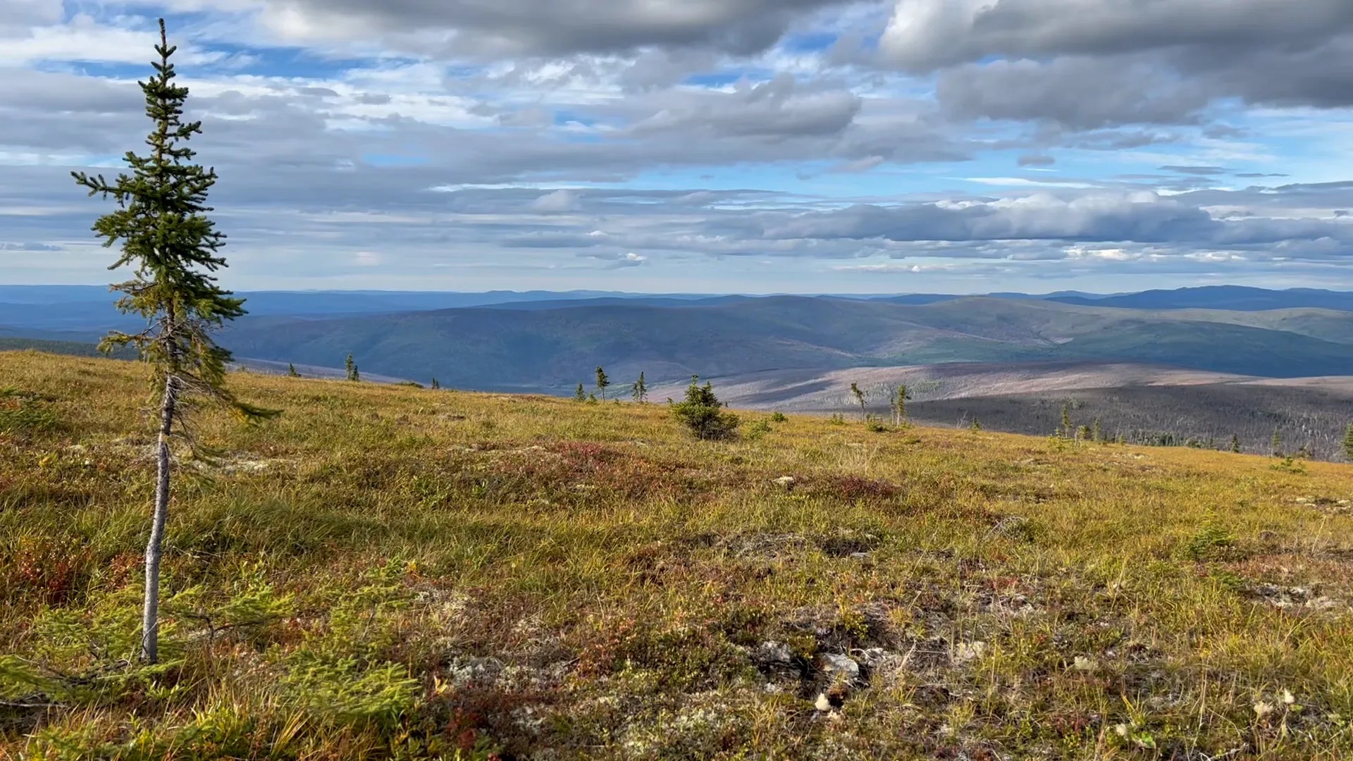
Tundra Vegetation to Grow Taller, Greener Through 2100, NASA Study Finds
Warming global climate is changing the vegetation structure of forests in the far north. It’s a trend that will continue at least through the end of this century, according to NASA researchers.

Landsat Observations Key Resource for Many Federal Agencies
In the FY23 Aeronautics and Space Report released on May 23, 2024, a multitude of Federal agencies report work informed by Landsat data.
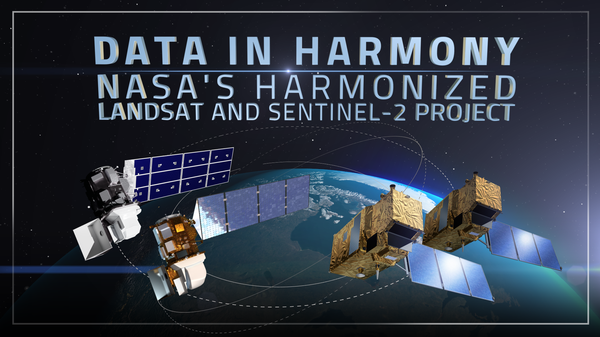
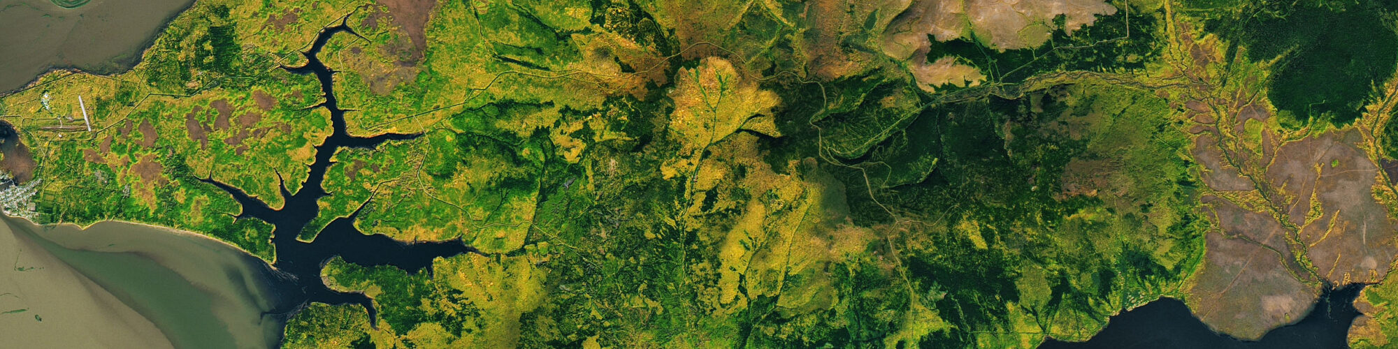
Data in Harmony: NASA’s Harmonized Landsat and Sentinel-2 Project
NASA’s Harmonized Landsat and Sentinel-2 (HLS) project is a groundbreaking initiative that combines data from Landsats 8 & 9 with the European Space Agency’s Sentinel-2A & 2B satellites.
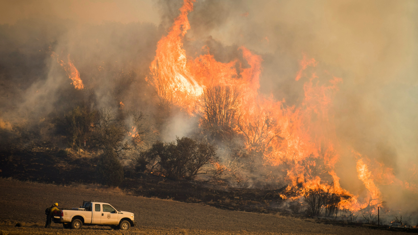
Satellites Show How Drought Changes Wildfire Recovery in the West
A new study using NASA satellite data reveals how drought affects the recovery of western ecosystems from fire, a result that could provide meaningful information for conservation efforts.
Leveraging the Synergistic Power of Landsat and GEDI Data to Support Sustainable Forest Management
By fusing multispectral Landsat data with forest structure products from the GEDI mission, researchers and scientists have unlocked a deeper understanding of complex forest processes and dynamics and empowered land managers and policymakers to manage forests with greater effectiveness and sustainability.