

Robert Washington-Allen and the Next Frontier of Dryland Research
Washington-Allen is a longtime Landsat data user working towards drylands restoration and sustainability solutions.
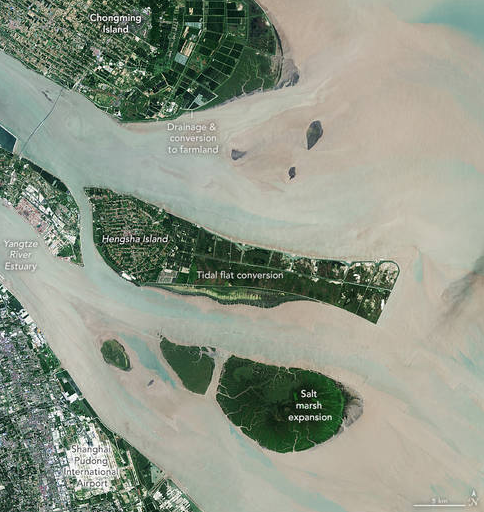
NASA Scientists Map Global Salt Marsh Losses and Their Carbon Impact
The world has lost 561 square miles (1,453 square kilometers) of salt marshes over the past 20 years.
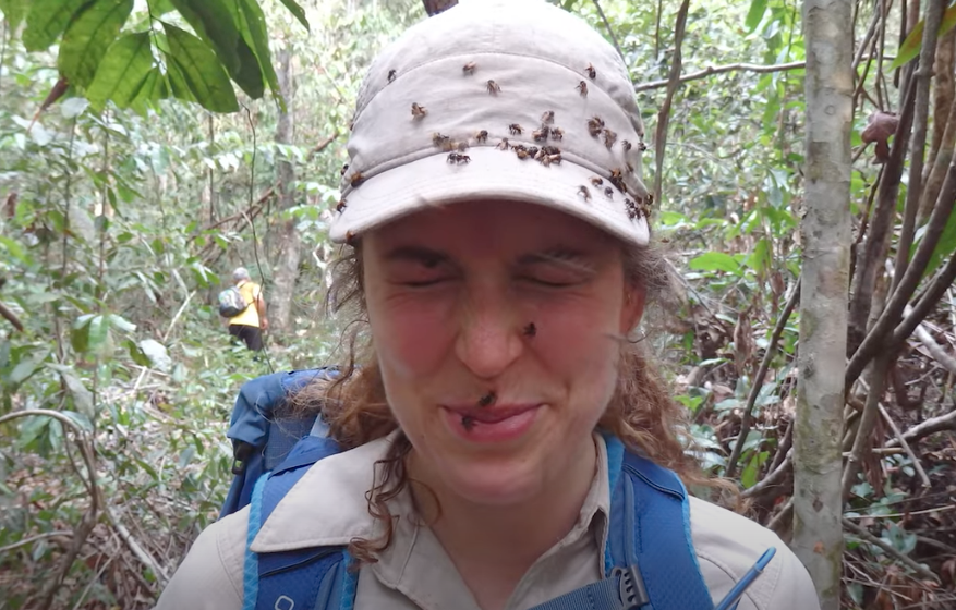
How Scientists Used Acoustic Soundscapes and Satellites to Assess the Health of the Amazon Rainforest
Scientists from NASA’s Goddard Space Flight Center and the University of Maryland, College Park, investigated how the acoustics of a forest can be a cost-effective indicator of its health—and Landsat allowed them to see back in time.
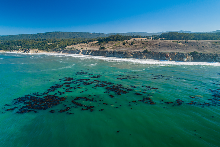
World’s Largest Dynamic Kelp Map Launched
The Landsat-informed kelpwatch.org hosts the world’s largest open-source dynamic map of kelp forest canopy.
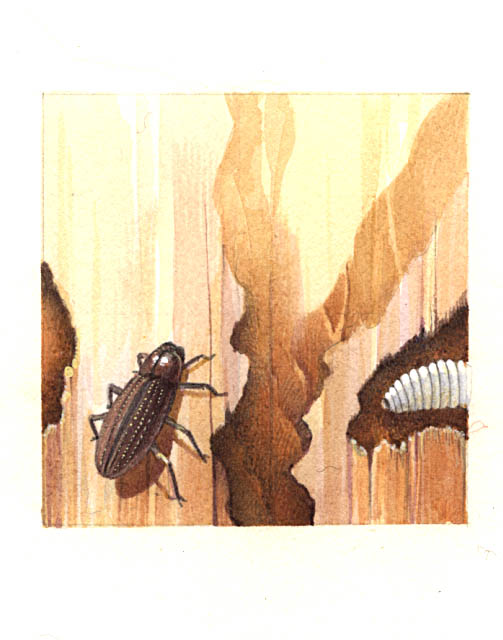
Diagnosis from the Sky: Catching Insect Infestations within Forests Before It’s Too Late
Fine-tuning remote sensing to protect forests from the spread of dangerous critters.
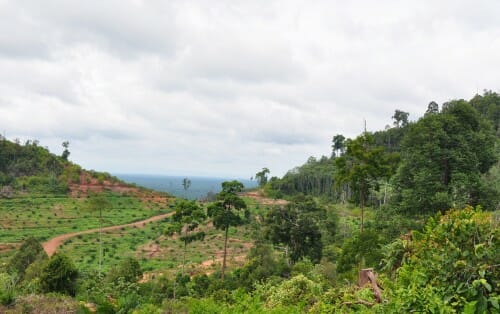
Nearby Forest Loss Predicts Future Deforestation on Protected Lands
A new analysis of protected forests worldwide finds that protected forests are unlikely to be cut down when they are surrounded by intact forests.