

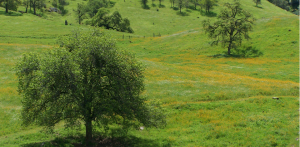
California’s Iconic Blue Oak Woodlands Threatened by Hotter, More Frequent Droughts
California’s blue oak woodlands have decreased by more than 1,200 square kilometers.
Earth Day Connections: NASA Investigates Vegetation
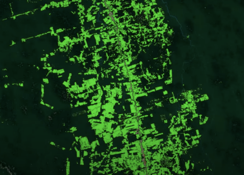
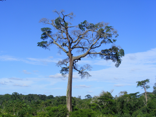
Scientists use Landsat to track changing patterns of deforestation that tells them how Amazonian agricultural practices have changed, from small family holdings to massive ranching operations.
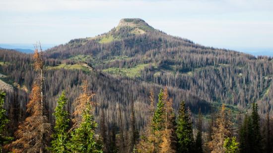
Twenty Years of Bark Beetle Activity Tracked Across Colorado Forests
More than two decades worth of Landsat satellite imagery was used to quantify how beetle outbreaks have impacted high-elevations forests in Colorado, southern Wyoming, and northern New Mexico.
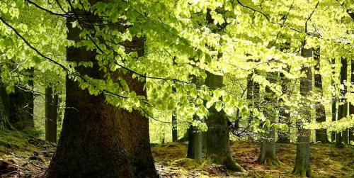
Quantifying Forests’ Impacts on Global Carbon Budget with Satellites
A new method, fusing data from many sources, has been developed for quantifying forests’ role as both carbon sink and carbon source.
Alert System Shows Potential for Reducing Deforestation, Mitigating Climate Change
Landsat-based Global Forest Watch alerts seem to be helping slow down forest loss in Africa.
AGU Panel Explores Environmental Impacts of the COVID-19 Pandemic, as Observed from Space
Landsat shows some of the ways in which COVID-19 is changing the environment.