

Graphing a Path to Survival: Habitat Connectivity in Australia's Murray-Darling Basin
Quantifying the impact of historic land-use and hydroclimatic variability on landscape connectivity dynamics across Australia’s breadbasket.
Water in Flux—Monitoring Shifting Water Body Sizes in Canada
Monitoring surface water trends in North Western Canada.
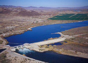
Farm Crops for City Drops: Assessing Water Right Transfers With Landsat
Thirty-one years of observed water use trends in the Southwestern U.S.
Shedding Light on Watershed Management Priorities
Learn more about a water quality modeling tool known as SPARROW.
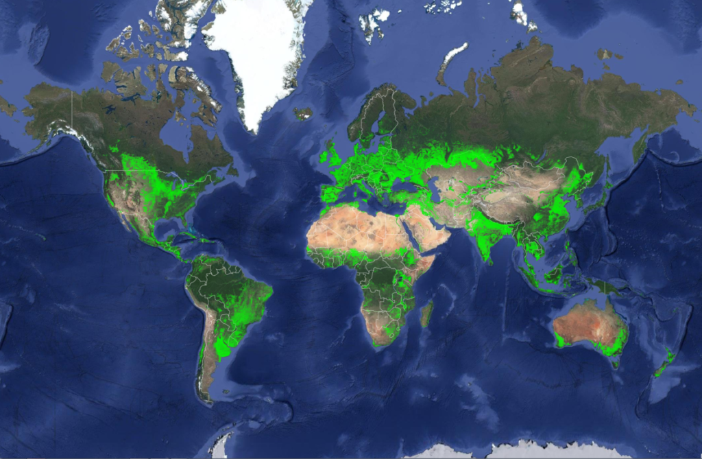
New Landsat-Based Map of Worldwide Croplands Supports Food and Water Security
A new map was released today detailing croplands worldwide in the highest resolution yet.
Landsat Talks—The Karkheh River as Seen by Landsat 1993-2002
Dr. Alan Belward describes water changes around Iran’s Karkheh River between 1993-2002.
