

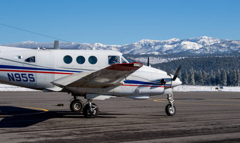
Eyes on the Snow as Water Supplies Dwindle
Airborne Snow Observatories, Inc. uses higher-resolution snow cover data from Landsat to update their model snow cover.
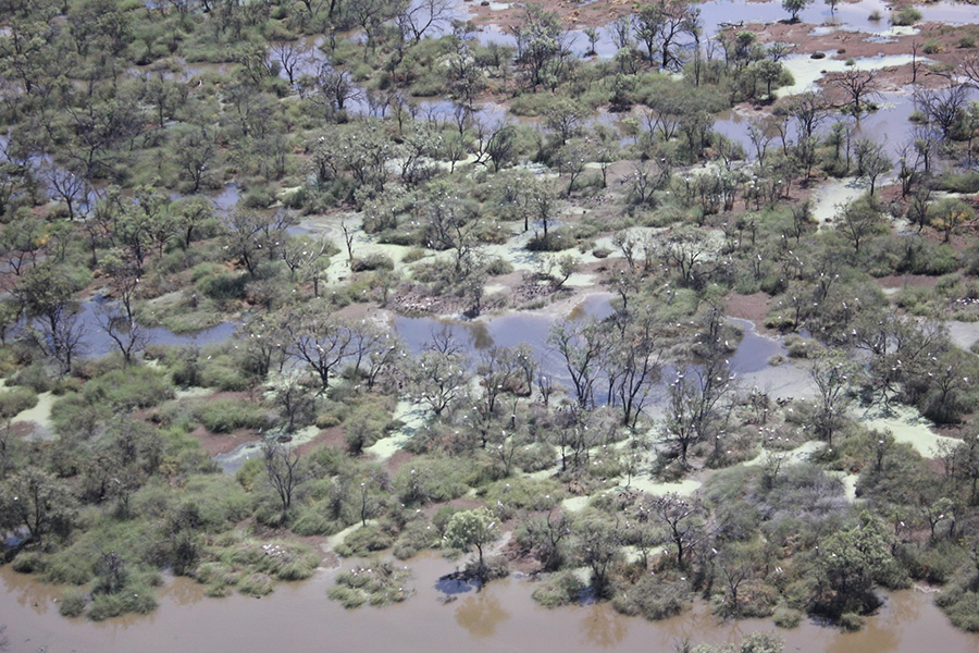
Time is of the Essence When Monitoring Dryland Floods
More frequent satellite observations, such as those of the Harmonized Landsat Sentinel-2 (HLS) dataset, are needed to fully capture flood dynamics in regions experiencing short-lived, ephemeral flooding.
The View from Space Keeps Getting Better
After 50 years of Landsat, discovery of new commercial and scientific uses is only accelerating.
Landsat Reveals Dramatic Loss of Global Wetlands Over Past Two Decades
An analysis of over a million Landsat images has revealed that 4,000 square kilometres of tidal wetlands have been lost globally over twenty years.
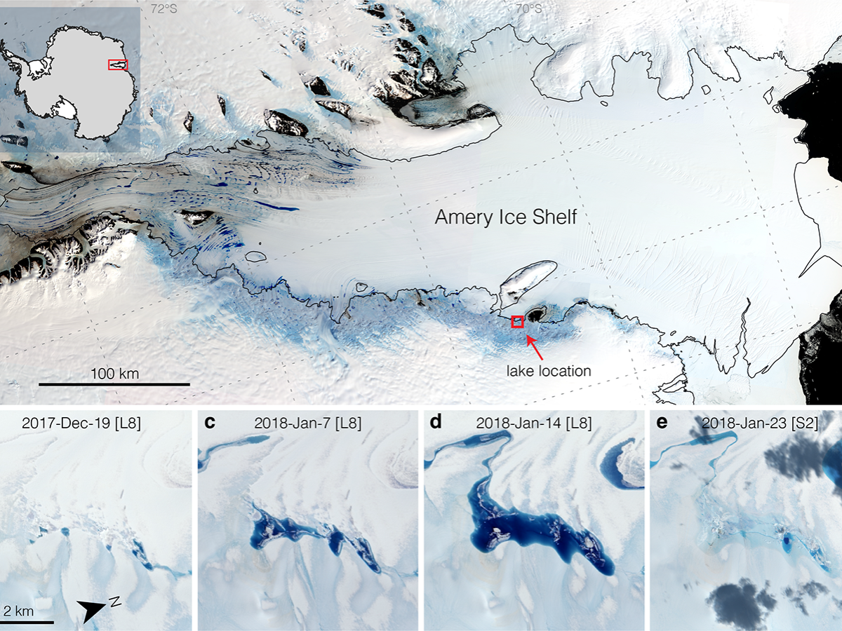
Strong Tides, Vanishing Lakes May Prove Beneficial to Antarctic Ice Shelf
Satellites have helped show that strong tidal activity may facilitate water-induced fracturing, or hydrofracturing, where land ice transitions to floating ice shelf and cause the meltwater lake to drain quickly, often in as little as several days.
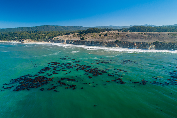
World’s Largest Dynamic Kelp Map Launched
The Landsat-informed kelpwatch.org hosts the world’s largest open-source dynamic map of kelp forest canopy.
