

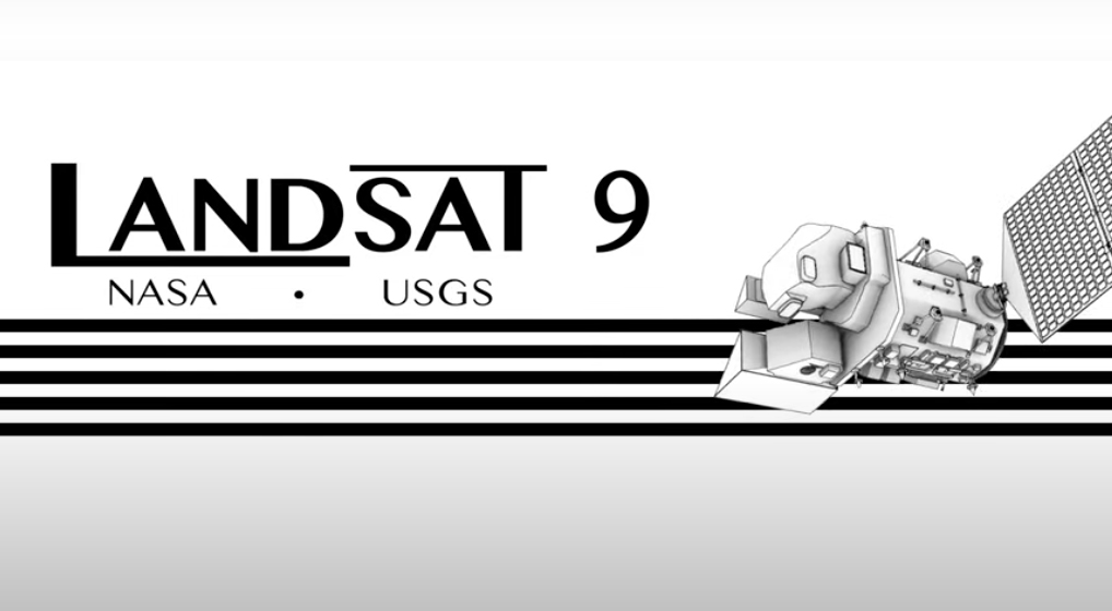
A Trip Through Time With Landsat 9
Come along on a “roadtrip” through the decades to see how the technology on Landsat has evolved with the times to provide an unbroken data record.
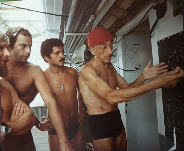
Go Now! Landsat & the Calypso Caper
This video takes you to the summer of 1975 when Jacques Cousteau and his divers helped NASA determine if Landsat could measure the depth of shallow ocean waters.
Landsat 9 at Work
For five decades, we have relied on Landsat’s high-quality, science-quality observations to understand and protect our home planet.
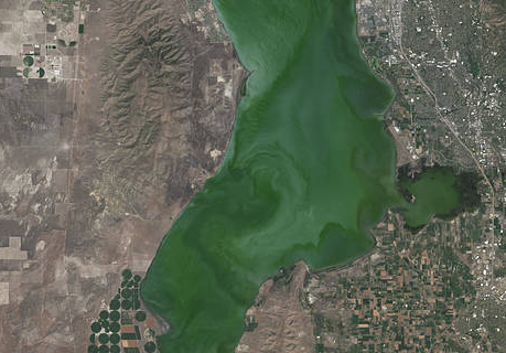
Landsat Satellite Data Warns of Harmful Algal Blooms
Landsat helps water resource managers know where to look for dangerous algal blooms in Utah lakes.
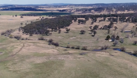
Protecting Water for Generations to Come in Australia
Australia’s natural resource regulator uses drones and satellite imagery to monitor water use and compliance with their water laws across New South Wales to ensure our water resources are protected for generations to come.

Landsat Featured on Recent NOVA Now Podcast
Landsat 9 Project Scientist Jeff Masek from NASA Goddard was interviewed for NOVA Now.
