
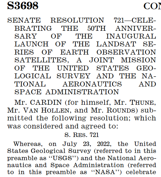
July 23, 2022 Designated Landsaturday
July 23, 2022, was designated as Landsaturday by the U.S. Senate in recognition of the 50th anniversary of the Landsat Program.

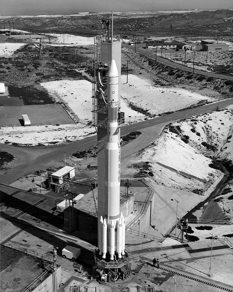
Virginia Norwood & the Little Scanner that Could
Virginia T. Norwood, known as the person who could solve impossible problems, played a crucial role in the development of the first space-based multispectral scanner instrument that flew on Landsat 1 and made the mission a success.

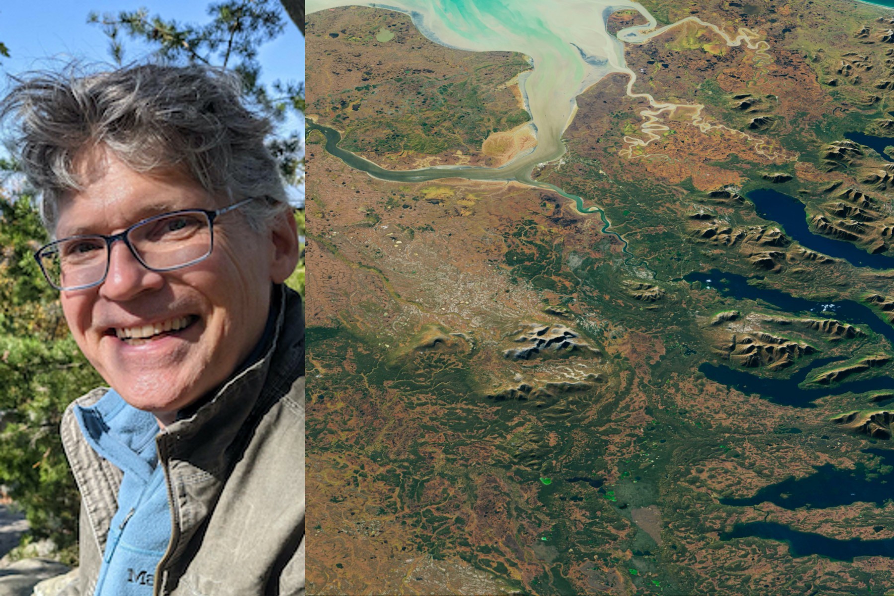
50 Years, 50 Stories: Kate Fickas
I use Landsat to explore wetland and aquatic ecosystem dynamics over time, studying how they may vary in a changing climate. Biotic and abiotic, everything on Earth has its own connection.
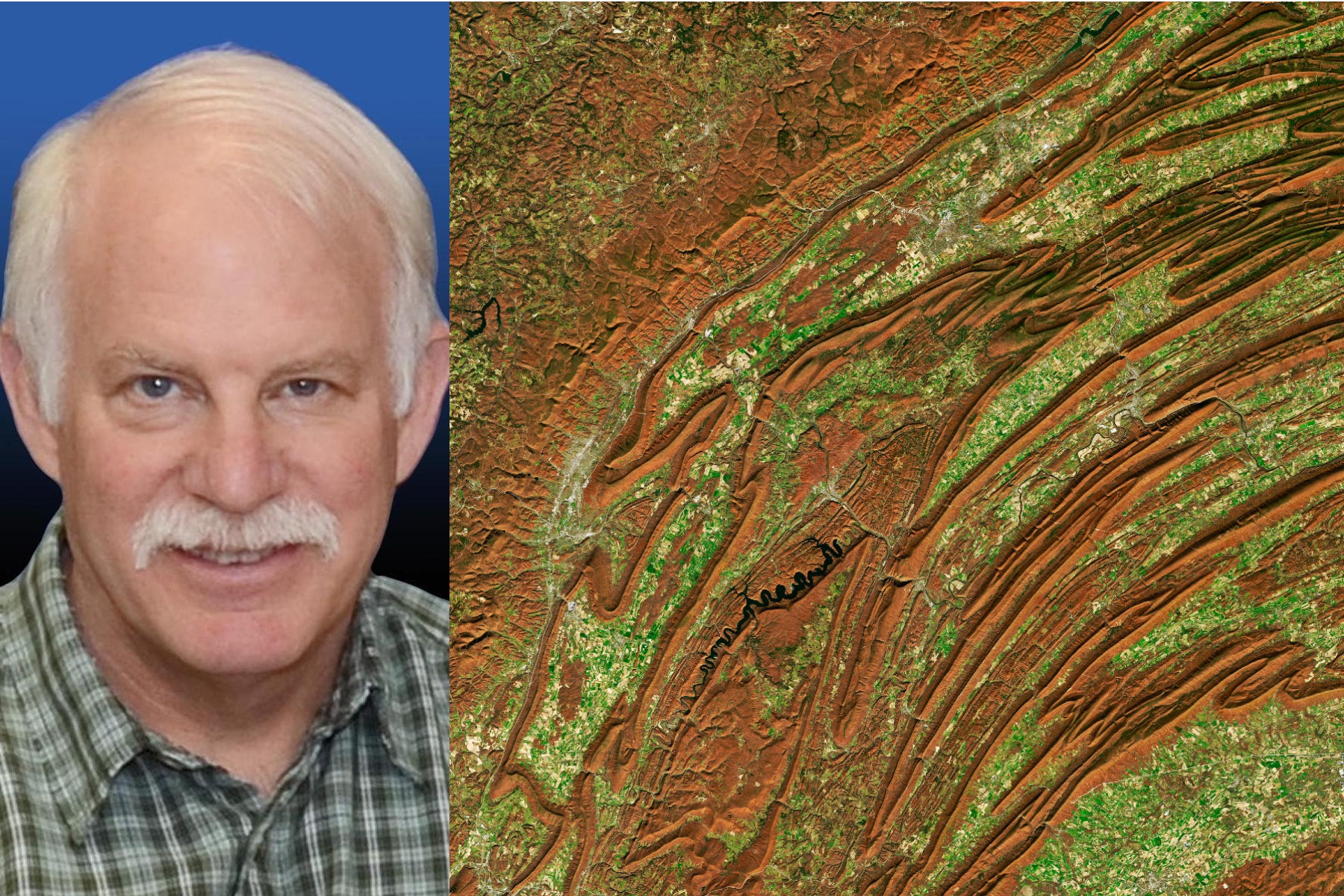
50 Years, 50 Stories: Bruce Cook
I use Landsat data as part of a joint U.S. Department of Agriculture/NASA effort to inventory all forest lands in interior Alaska.
Landsat Legacy: NASA-USGS Program Observing Earth from Space Turns 50
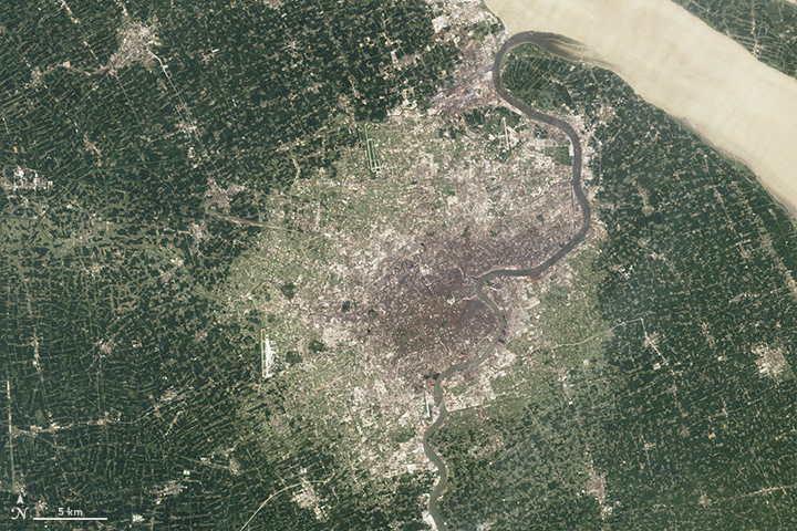
Since its debut, Landsat has amassed over 10 million images. These images, also called scenes, show current snapshots of land and coasts, but pair with images of years past and they also reveal changes through time – glaciers slowly disappearing, or urban spaces sprawling across the landscape.
50 Years, 50 Stories: Jim Irons
I worked at Goddard Space Flight Center for 43 years. A great deal of my career was spent engaged in the Landsat program.
A Planetary Sage: Landsat at 50
Landsat satellites have been reliably returning images of Earth’s land surface for fifty years, providing novel insights about the planet we call home.
California’s Trees are Dying, and Might Not Be Coming Back
Landsat has shown that wildfires and climbing temperatures have caused a 6.7 percent decline in California tree cover since 1985.
Pecora 22: Registration Open
The 22nd William T. Pecora Memorial Remote Sensing Symposium (Pecora 22) will convene in Denver, Colorado, USA from October 23 – 28, 2022, and will focus on all aspects of Earth observation, spanning scientific discoveries to operational applications, and from sensors to decisions.
The View from Space Keeps Getting Better
After 50 years of Landsat, discovery of new commercial and scientific uses is only accelerating.
July 23, 2022 Designated Landsaturday
July 23, 2022, was designated as Landsaturday by the U.S. Senate in recognition of the 50th anniversary of the Landsat Program.
Virginia Norwood & the Little Scanner that Could
Virginia T. Norwood, known as the person who could solve impossible problems, played a crucial role in the development of the first space-based multispectral scanner instrument that flew on Landsat 1 and made the mission a success.
50 Years, 50 Stories: Kate Fickas
I use Landsat to explore wetland and aquatic ecosystem dynamics over time, studying how they may vary in a changing climate. Biotic and abiotic, everything on Earth has its own connection.
50 Years, 50 Stories: Bruce Cook
I use Landsat data as part of a joint U.S. Department of Agriculture/NASA effort to inventory all forest lands in interior Alaska.
Landsat Legacy: NASA-USGS Program Observing Earth from Space Turns 50
Since its debut, Landsat has amassed over 10 million images. These images, also called scenes, show current snapshots of land and coasts, but pair with images of years past and they also reveal changes through time – glaciers slowly disappearing, or urban spaces sprawling across the landscape.
50 Years, 50 Stories: Jim Irons
I worked at Goddard Space Flight Center for 43 years. A great deal of my career was spent engaged in the Landsat program.
A Planetary Sage: Landsat at 50
Landsat satellites have been reliably returning images of Earth’s land surface for fifty years, providing novel insights about the planet we call home.
