

Guardian Landsat on Firewatch
Landsat collects data that helps effectively deal with intensifying wildfires—at all stages of the fire cycle.
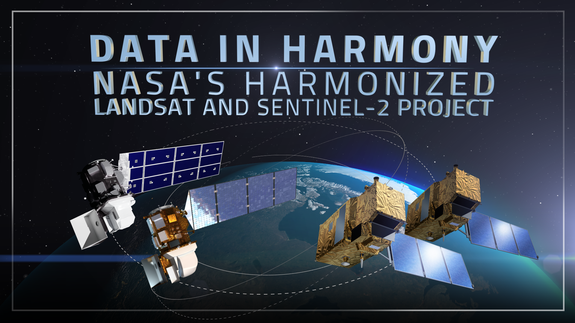
Data in Harmony: NASA’s Harmonized Landsat and Sentinel-2 Project
NASA’s Harmonized Landsat and Sentinel-2 (HLS) project is a groundbreaking initiative that combines data from Landsats 8 & 9 with the European Space Agency’s Sentinel-2A & 2B satellites.
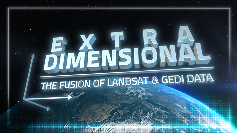
ExtraDimensional—The Fusion of Landsat & GEDI
When Landsat’s vast decades-long archive is combined with data from other instruments it can provide amazing insight into how our world is evolving with us and around us. Here are some of the ways Landsat and GEDI data are being harnessed to help us better understand the complex relationship between humanity and nature.
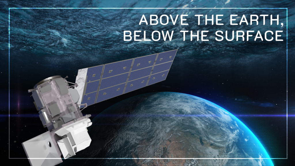
Above the Earth, Below the Surface: Landsat’s Role in Monitoring Water Quality
Safeguarding freshwater resources is crucial, and while scientists use a variety of ground-based techniques to gauge water quality, the Landsat program has provided water quality data from orbit for decades.

Joining Jane Goodall in Conserving Chimpanzee Habitats
The Jane Goodall Institute has been working with NASA and using Earth science satellite imagery and data—including Landsat (NASA/USGS)—in its chimpanzee and forest conservation efforts in Africa, particularly the Gombe region.
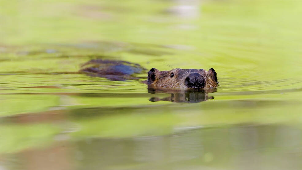
Researchers Become “Beaver Believers” After Measuring the Impacts of Rewilding
Satellites like Landsat are quantifying how beavers can have an outsized and positive impact on local ecosystems.
