
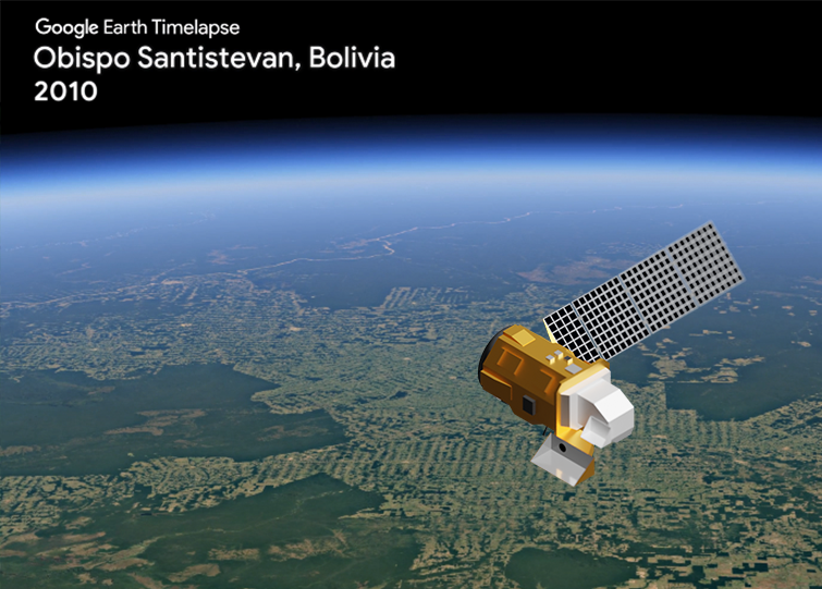
TIME-lapse Travel
Feeding the planet’s growing population uses huge tracks of farmland. Watch how farming activity creates patterns and rectangular shapes replace the forests in Bolivia.
Farming Food for All
Feeding the planet’s growing population uses huge tracks of farmland. Today, humans use more land for agriculture than anything else.
Then & Now
Collecting data in the field is an important part of the Landsat program.

TIME-lapse Travel
Feeding the planet’s growing population uses huge tracks of farmland. Watch how farming activity creates patterns and rectangular shapes replace the forests in Bolivia.
Farming Food for All
Feeding the planet’s growing population uses huge tracks of farmland. Today, humans use more land for agriculture than anything else.
Then & Now
Collecting data in the field is an important part of the Landsat program. To ensure accurate and consistent Landsat measurements, scientists use a calibration process that includes comparing information collected on the ground with data collected by Landsat satellites.
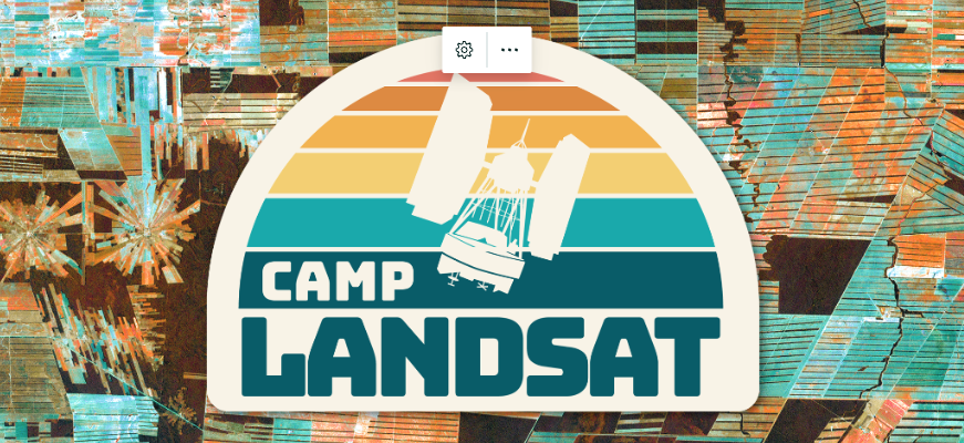
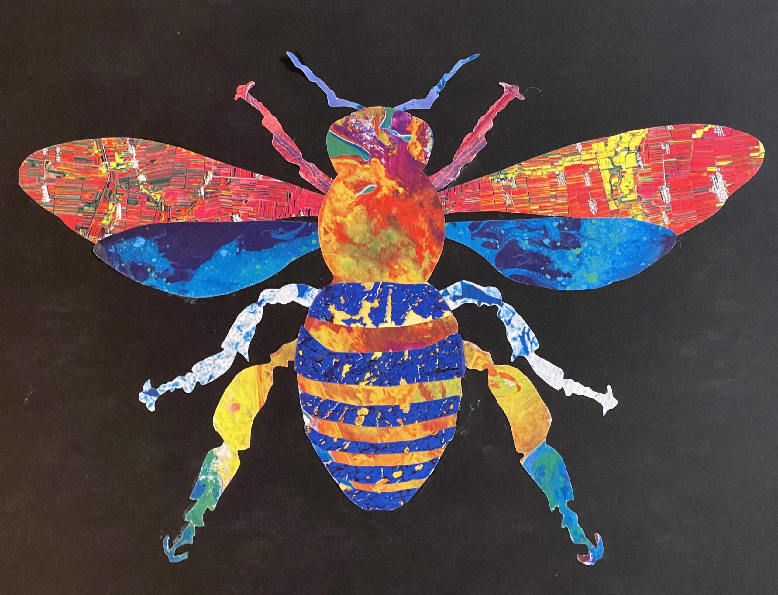
Landsat Collage Challenge
The Landsat series of satellites has been collecting visually stunning and scientifically valuable images of Earth since 1972. While Landsat data have played a critical role in the study of our land resources, images from these data have provided some of the most beautiful and unique colors, textures, and patterns of our planet. Explore these stunning patterns and colors from folded red mountain ridges, yellow dunes dotted with brilliant pools of blue water, and swirling clouds of blue-green phytoplankton.
+ Create your own Landsat collage and share with #CampLandsat
GLOBE Observer Clouds
Clouds are a major component of the Earth’s system that reflect, absorb, and scatter sunlight and infrared emissions from Earth. This affects how energy passes through the atmosphere. Different types of clouds have different effects, and the amount of cloud cover is also important. Clouds can change rapidly, so frequent observations are useful to track these changes. Help collect date with the GLOBE Observer Clouds app.

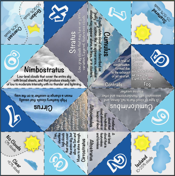
Cloud Teller
Clouds are an important part of our atmosphere and source of water to help farmers grow our food. Create your own Cloud Teller to explore different cloud types.
Factory Earth
Plants provide the raw materials to create products we use in our daily lives. Play the Factory Earth and discover where we find materials to make stuff like crayons, baseballs, and fish sticks.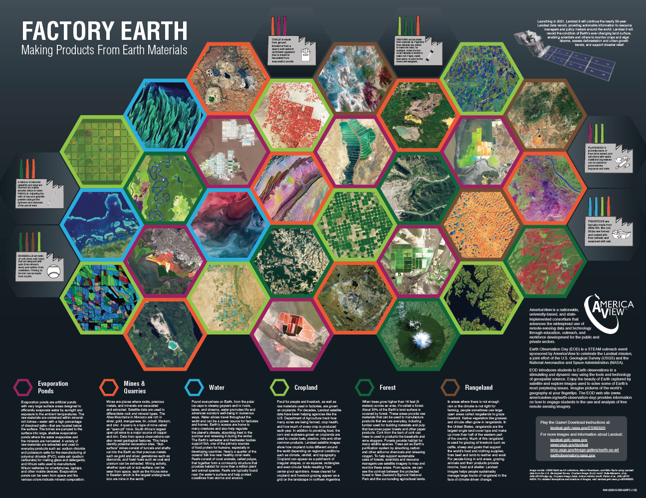
Postcard from Camp
This week we are visiting the Amazon forest in Bolivia. Patterns in this Landsat image from August 2000 show large paths cut by loggers and fields created for farms and pastures.
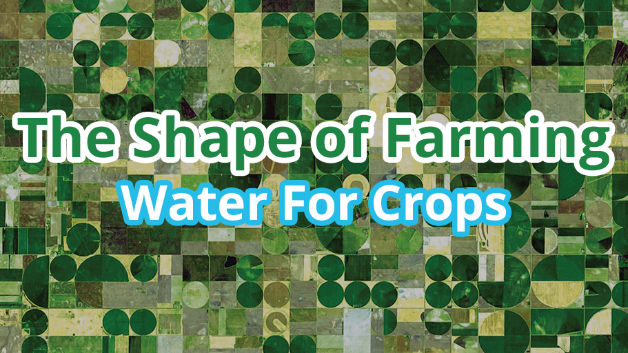
EO Kids
Farmers use a number of different methods to irrigate crops, and some of them result in pretty interesting shapes. In this issue, The Shape of Farming: Water for Crops, EO Kids looks at what water has to do with different types of farming practices, and how these practices look from space.
Postcard from Camp
This week we are visiting the Amazon forest in Bolivia. Patterns in this Landsat image from August 2000 show large paths cut by loggers and fields created for farms and pastures.
EO Kids
Farmers use a number of different methods to irrigate crops, and some of them result in pretty interesting shapes. In this issue, The Shape of Farming: Water for Crops, EO Kids looks at what water has to do with different types of farming practices, and how these practices look from space.