

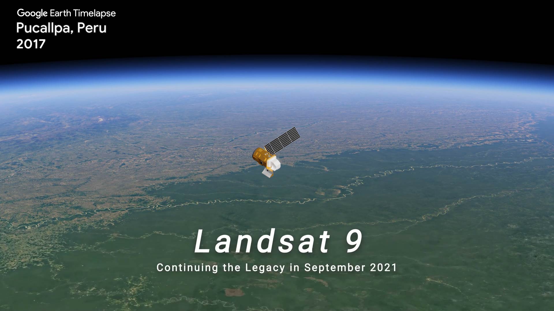
TIME-lapse TRAVEL
Looking at over 30 years of Landsat images shows the Ucayali River meandering around the city of Pucallpa in Peru.

Why Satellites Rock
Find out how Landsat helps scientists study volcanoes, find fault lines, track rivers, and even find fossils.

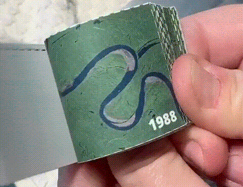
Create your own Landsat animation of the Ucayali River as it meanders through the Peruvian landscape.
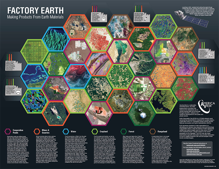
Our planet provides many different materials to make the products we use and the food we eat. Landsat images can show what these sources look like from space. In the Factory Earth game, you collect raw materials and manufacture products to earn points. But be sure to avoid any natural disasters.
Create your own Landsat animation of the Ucayali River as it meanders through the Peruvian landscape.
Our planet provides many different materials to make the products we use and the food we eat. Landsat images can show what these sources look like from space. In the Factory Earth game, you collect raw materials and manufacture products to earn points. But be sure to avoid any natural disasters.
This painting was inspired by Bombetoka Bay in Madagascar.
Create your own Landsat inspired craft and share with #LandsatCraft


This painting was inspired by Bombetoka Bay in Madagascar.
Create your own Landsat inspired craft and share with #LandsatCraft
Postcard from Camp
Collect all nine postcards from Camp Landsat starting with Week 1: Rocks and Rivers! Do you like rock climbing or river rafting? From volcanoes to meandering rivers, Landsat shows us how our planet’s landscapes are reshaped. The front of this postcard features a false-color Landsat 7 image of Bagda Mountains, acquired September 1, 1999.

EO Kids
Find out how scientists see different rock types with the help of satellites and solve the mystery of how rock layers move to make cool rock formations in Hide and Seek Sandstone: Geology by Satellite.