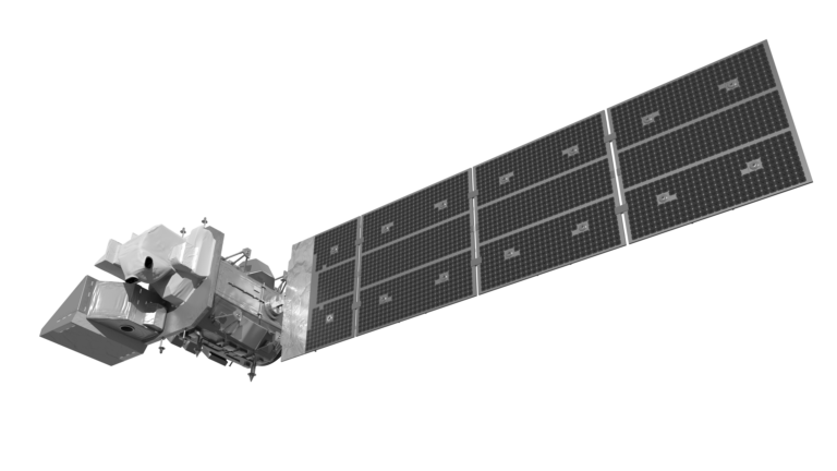
Celebrating 53 Years Since Landsat 1’s Launch
When the first Landsat satellite launched in 1972, it posed the following question: could we manage our natural resources using remotely–sensed data? The answer, 53 years on, is a resounding “yes.”

When the first Landsat satellite launched in 1972, it posed the following question: could we manage our natural resources using remotely–sensed data? The answer, 53 years on, is a resounding “yes.”
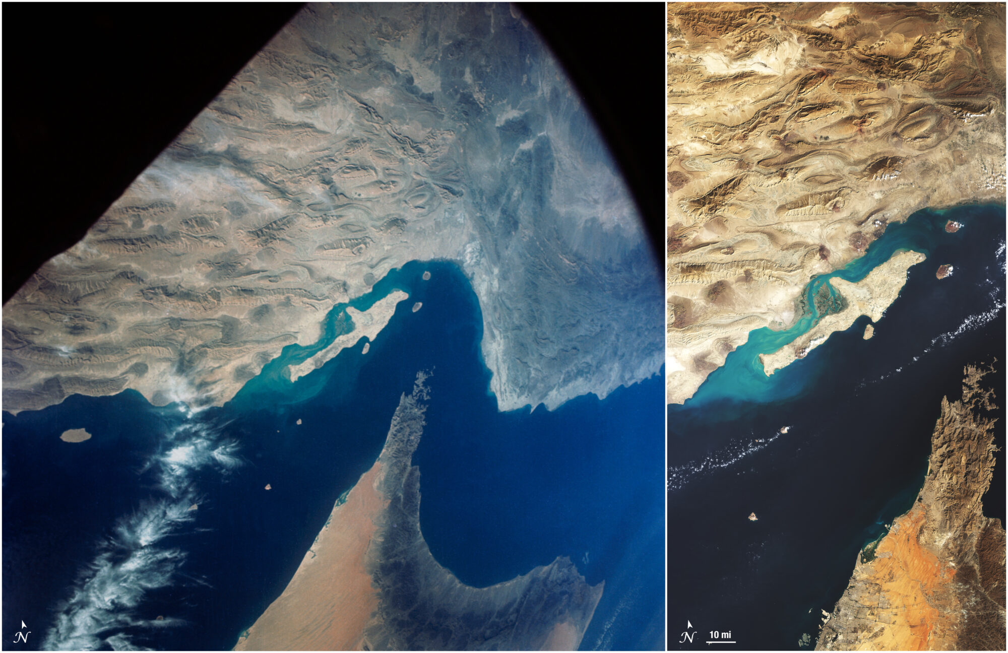
In the 1960s, NASA was pioneering a new era of human spaceflight—and astronaut photography—that would change Earth observation forever.
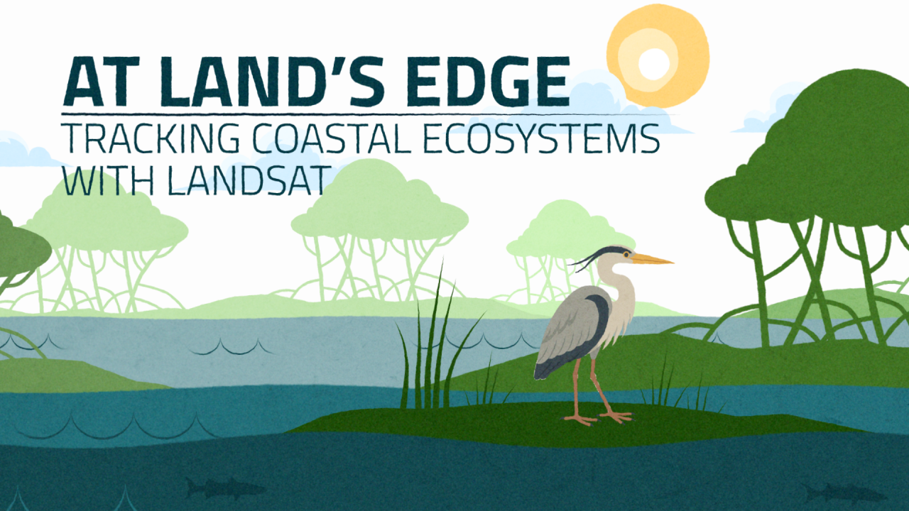
Discover how Landsat’s 50-year record of Earth helps scientists track the health of coastal ecosystems while providing tools to monitor water quality and reveal changes at the edge of land and sea.

Landsat-based National Land Cover Database (NLCD) helps predict hurricane wind risk to homes and other structures.
When the first Landsat satellite launched in 1972, it posed the following question: could we manage our natural resources using remotely–sensed data? The answer, 53 years on, is a resounding “yes.”
In the 1960s, NASA was pioneering a new era of human spaceflight—and astronaut photography—that would change Earth observation forever.
Discover how Landsat’s 50-year record of Earth helps scientists track the health of coastal ecosystems while providing tools to monitor water quality and reveal changes at the edge of land and sea.
Landsat-based National Land Cover Database (NLCD) helps predict hurricane wind risk to homes and other structures.