Contributor: Laura E.P. Rocchio
Assessing coral reef habitat decline
In the August issue of Remote Sensing Environment, Palandro et al. explain their use of Landsat data to quantify declines in coral reef habitats of the Florida Keys National Marine Sanctuary. Using 18 years worth of Landsat data, the authors were able to assess habitat changes at eight different coral reef study sites. The study showed declines in coral reef habitat of 68 percent. The authors caution that while Landsat time series data can measure large-scale coral habitat change, they are too coarse to measure explicit coral cover and coral bleaching. However, they conclude, Landsat can be used to establish an accurate baseline of coral reef habitat and the authors encourage more Landsat-based coral reef habitat studies worldwide.
Mapping seagrass habitat
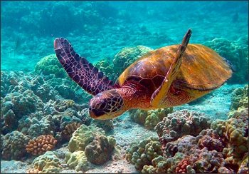
Also in the August issue of Remote Sensing Environment, Wabmitz et al. show the feasibility of creating Landsat-based seagrass maps. Seagrass meadows are highly productive parts of coastal oceans and home to many species, including green turtles. Seagrass habitat conservation planning is often hampered by the lack of reliable maps showing seagrass extent. Using Landsat data and building on information provided by the Millennium Coral Reef Mapping Project, the authors compiled a drastically improved seagrass habitat map for the Wider Caribbean.
Seamount mapping
In the August issue of Deep-Sea Research I, Allain et al. debut their seamount catalog for the western and central Pacific Ocean. Seamounts are tremendously important habitats because of their characteristically high levels of biodiversity and due to the large populations of commercially important pelagic fish species that congregate in surrounding waters. By compiling and cross-checking 20 datasets, including the Landsat-based Millennium Coral Reef Mapping Project, the authors were able to create an improved listing of Pacific seamounts. The authors expect their improved catalog to be used for various biodiversity applications and fishery management.
References (in order of appearance) :
Palandro, D.A, S. Andréfouët, C. Hu, P. Hallock, F.E. Müller-Karger, P. Dustan, M.K. Callahan, C. Kranenburg, and C.R. Beaver (2008). Quantification of two decades of shallow-water coral reef habitat decline in the Florida Keys National Marine Sanctuary using Landsat data (1984–2002). Remote Sensing of Environment, vol. 112, no. 8, 15, pp.: 3388-3399.
Wabnitz, C., S. Andréfouët, D. Torrespulliza, F.E. Müller-Karger, . Kramer (2008). Regional-scale seagrass habitat mapping in the Wider Caribbean region using Landsat sensors: Applications to conservation and ecology. Remote Sensing of Environment, vol. 112, no. 8, 15, pp.: 3455-3467.
Allain, V., J. Kerandel, S. Andréfouët, F. Magron, M. Clark, D.S. Kirby, F.E. Muller-Karger (2008). Enhanced seamount location database for the western and central Pacific Ocean: Screening and cross-checking of 20 existing datasets. Deep Sea Research Part I: Oceanographic Research Papers, vol. 55, no. 8, pp.: 1035-1047.
Landsat & LCLUC: Science Meeting Highlights
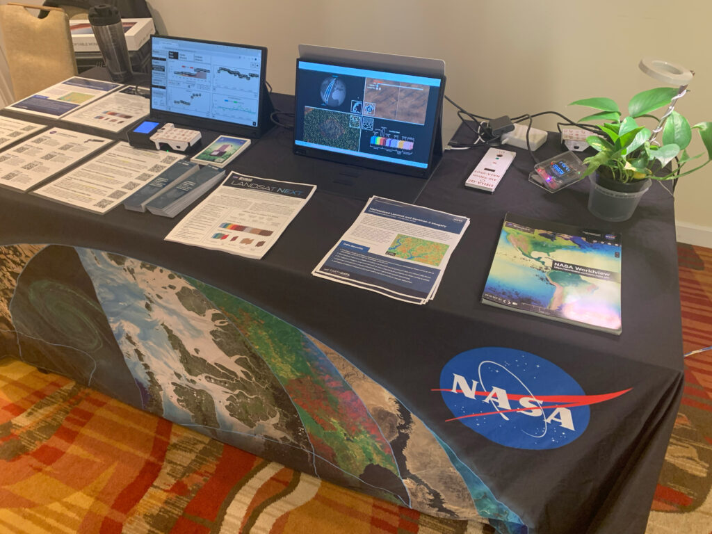
Outreach specialists from the Landsat Communications and Public Engagement team participated in community engagement efforts at the joint NASA and University of Maryland Land Cover Land Use Change (LCLUC) meeting.

