Landsat Next Defined

Landsat Next Defined

Landsat Next is on the horizon—the new mission will not only ensure continuity of the longest space-based record of Earth’s land surface, it will fundamentally transform the breadth and depth of actionable information freely available to end users. Take a look at the new capabilities that will define the next Landsat mission.

Read More »

Expanding OpenET Across Amazon Basin

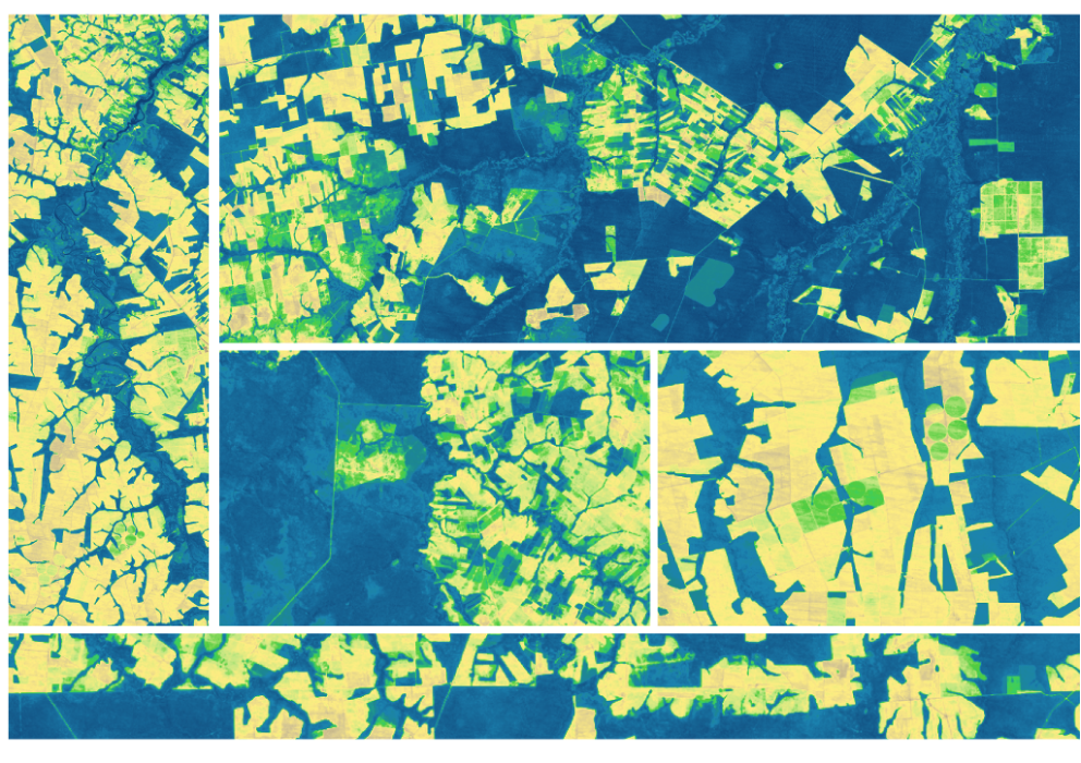
The research teams who help sustain the largest freshwater reserve in the world are developing a new tool to promote more resilient farming systems in Brazil. The goal is to help farmers better handle changes in the water cycle, deal with droughts, and adapt to a changing climate.

Read More »
Landsat Next Defined

Landsat Next Defined

Landsat Next is on the horizon—the new mission will not only ensure continuity of the longest space-based record of Earth’s land surface, it will fundamentally transform the breadth and depth of actionable information freely available to end users. Take a look at the new capabilities that will define the next Landsat mission.

Read More »

Expanding OpenET Across Amazon Basin

The research teams who help sustain the largest freshwater reserve in the world are developing a new tool to promote more resilient farming systems in Brazil. The goal is to help farmers better handle changes in the water cycle, deal with droughts, and adapt to a changing climate.

Read More »

“As a researcher with a limited budget, using the Landsat data for free made this project possible. The global geographic range together with free availability ensures that our study could potentially be repeated in other countries.”


“We like to think about Landsat as being, for this particular problem, sort of the sweet spot—the perfect asset. We found Landsat was really good at mapping the bulk of biomass for this particular test area we were looking at.”


“Landsat’s superpower is time travel… With phenology, vegetation phenology, and drought impacts, the time dimension is extremely important and more frequent data allows for higher accuracy and better characterization of agricultural phenomena.”


“Landsat can see the surface—human settlements, forests, coastal systems. It helps us understand crucial areas of biodiversity on land, crop yields, how to manage our resources, how to protect them.”


“The Landsat series of satellites is a cornerstone of our Earth observing capability. The world relies on Landsat data to detect and measure land cover/land use change, the health of ecosystems, and water availability.”


“Landsat data are essential for monitoring long-term changes of Earth’s ecosystems.”


“Landsat is an invaluable resource for developing these high resolution maps. Without the Landsat imagery we would not have the spectral information needed to decompose urban landscapes into Local Climate Zone types. Hence the data is at the heart of the project and it is the most critical piece—without Landsat there is no project.”


“The long, consistent view of Earth from space provided by Landsat sparks advances in science, enables more efficient natural resources management, and promotes profitable applications of the data in commerce and industry. In step with the National Research Council and other objective reviews, the non-federal Landsat Advisory Group has found that the broad benefits of Landsat far outweigh the cost.”


“A half-century archive of Landsat’s Earth observations is a magnificent achievement in the history of science. This fifty-year record gives scientists a consistent baseline that can be used to track climate change and enables them to see changes to the land that might not otherwise be noticed.”


“There is no more powerful tool for tracking land change through time than the Landsat series of satellites.”


“There’s still so much more information to retrieve from Landsat’s 50-year, multispectral data record.”


“We looked at satellite images taken by the NASA-U.S. Geological Survey Landsat missions from 1972 and 1999 and the loss of forest and woodland cover along valleys and steep slopes was clear: eighty percent of the forests were gone. Through our analysis of Landsat forest change maps using GIS, we also calculated that the risk of landslide had increased fivefold during that time.”


“Landsat has been producing Big Data since before data was big.”


“Landsat, a joint program of the U.S. Geological Survey (USGS) and NASA, offers an unparalleled record of our changing planet, with satellites that have been observing the Earth since 1972 to the present day.”


“This project would have been entirely impossible without the free and open-access data policy of the NASA/USGS Landsat-data archive.”


“[The Landsat MSS sensor] transformed expectations of how we can know the Earth.”


“It’s really by stepping back and looking at the Earth, observing these changes in their context from space, can we really understand what’s happening.”


“The economic and scientific benefits to the United States of Landsat imagery far exceed the investment in the system.”


“As the impacts of the climate crisis intensify in the United States and across the globe, Landsat satellites are crucial to providing data and imagery to help make science-based decisions on key issues including water use, wildfire impacts, coral reef degradation, glacier and ice-shelf retreat, and tropical deforestation.”


“We are very excited to employ integrated Landsat and Sentinel-2 data. The combined observations provide an unprecedented capability and, we expect, an unprecedented record of global land change.”


“Landsat 8 has been instrumental in monitoring smoke plumes as they spread across the Ninewa plains.”


“[The Landsat MSS sensor] transformed expectations of how we can know the Earth.”


“Because of Landsat’s global purview and long history, it has become a reference point for all Earth observation work and is considered the gold standard of natural resource satellite imagery.”


“Our ability to analyze decades of history through the Landsat data record provided a strong backbone to this work.”


Landsat 9 bw
Landsat 9 bw
Landsat 9 bw

The NASA/USGS Landsat Program provides the longest continuous space-based record of Earth’s land in existence. Landsat data give us information essential for making informed decisions about Earth’s resources and environment.