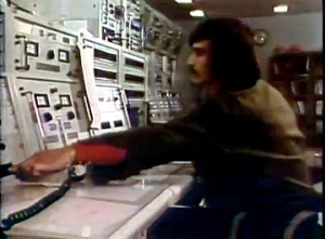
The concatenated videos include:
+ Growing Concerns
This video illustrates how Landsat data were used to aid agriculture and forestry managers in the mid-1970s. The video discusses the Large Area Crop Inventory Experiment, or LACIE, a major project demonstrating how Landsat could be used to estimate global crop production. Also featured is Landsat’s use by paper tree plantations and its use to pinpoint areas in the U.S. northeast infested by gypsy moths so that strategic spraying could be done.
+ The Pollution Solution? (starting at 14:41)
This video is about Landsat’s role supporting environmental stewardship. Namely, land reclamation after strip mining, unintentional cloud seeding along Lake Michigan, ocean dumping and water circulation patterns near NYC, locating eutrophication in Lake Champlain.
+ A Fractured Look (starting at 29:15)
This video highlights geologic uses of Landsat. It discusses Landsat’s ability to show previously unidentified faults, Landsat’s potential role for precious mineral and oil prospecting, and the satellite’s role in volcanology.
This video is available from the National Archives. It was digitized and uploaded by Public.Research.Org.
+ Video on YouTube
+ National Archive video record


