Landsat Images Provided to the International Charter in May 2015
The International Charter is a system that supplies free satellite imagery to emergency responders anywhere in the world.

The International Charter is a system that supplies free satellite imagery to emergency responders anywhere in the world.
In his lightning talk Lagomasino proposed a challenge to help study deforestation by linking satellite imagery and ground-images gathered via crowdsourcing
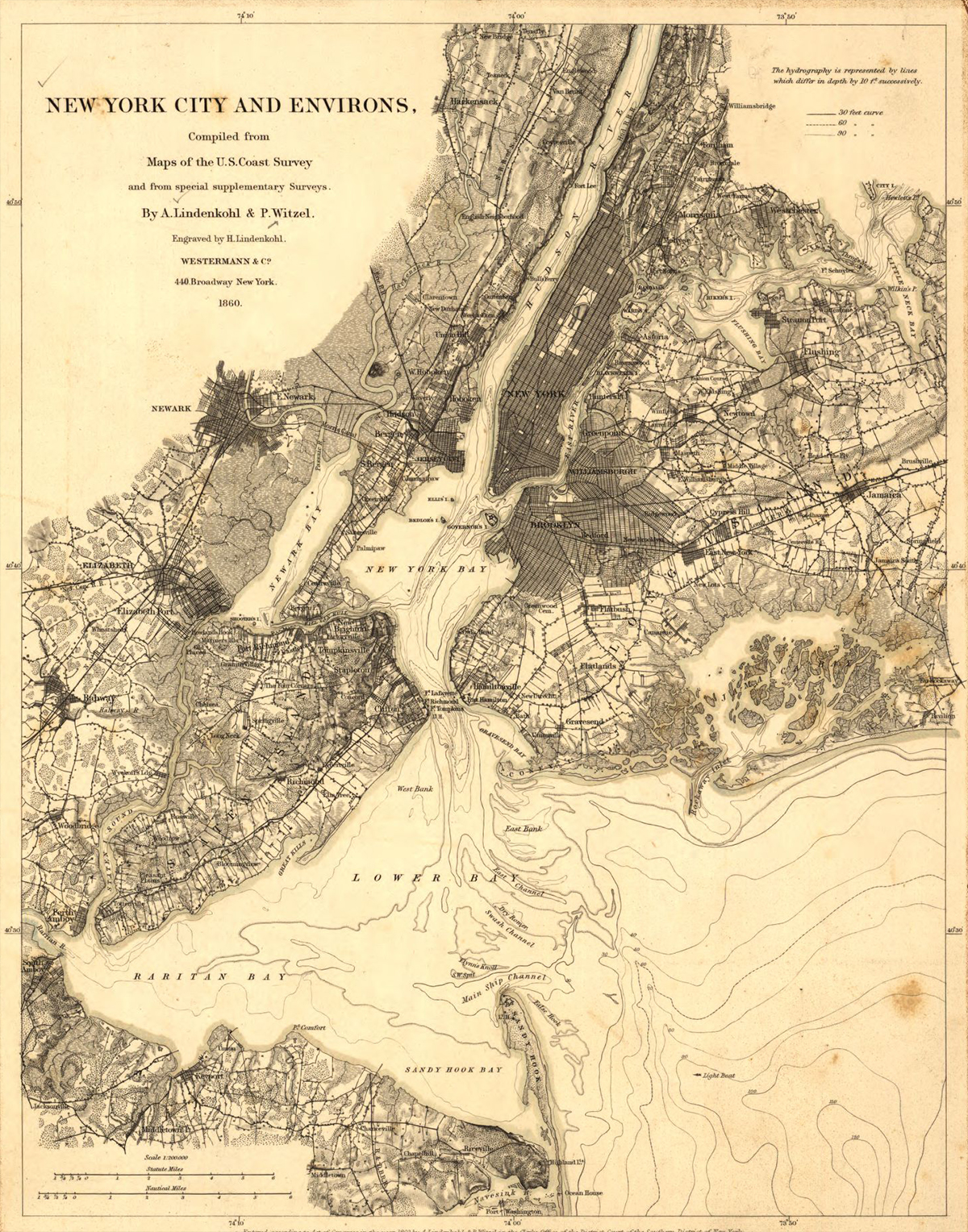
New York City in 1860 was thriving for some of the same reasons the city thrives today. The city’s location was then, and is now, central for the movement of people and freight to and from Europe and elsewhere. Waterways were the primary transportation pathways in 1860. New York’s deep and well-connected port, nearer to the ocean than the ports of other cities on the East coast of the United States, was a huge boon to shipping. The Hudson River connected New York City’s port to a wide gateway westward through the Erie Canal to Lake Erie and beyond. Europe sent and received goods and people across the Atlantic Ocean to New York. Cities on the Great Lakes could enjoy the benefits of shipping to and from Europe, completely by water!
As part of a NASA-associated program, Michael Geiswhite and 28 of his 11th grade students from North Schuylkill Junior-Senior High School studied a coal mine fire that ignited in 1962 in Centralia, PA and forced the permanent exodus from their homes of more than 1,000 people, including some of the students’ relatives.
Science and engineering enthusiasts of all ages at the 2015 Odyssey of the Mind World Finals competition were introduced to how Landsat sees the world.
Dr. Martin O’Leary is a glaciologist with Wales’ Swansea University. He spends most of his time modeling glacier movements and from time-to-time he uses Landsat data to check things out, to get a lay of the land—or glacier. As a pet project he conceived of @LandsatBot, an automated twitter account that tweets interesting looking Landsat 8 images each hour. We recently spoke with Dr. O’Leary about @LandsatBot.
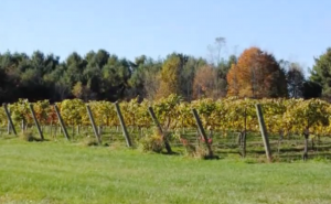
The Virginia Wine Board partnered with Wise DEVELOP to map the extension of Virginia vineyards. Vineyard extent was measured using data from Landsat 8 Operational Land Imager (OLI).
The Chongsecun landslide was found by a Canadian government scientist (Ministry of Forests, Lands and Natural Resource Operations Canada) scrutinizing post- and pre-quake Landsat 8 images.
Libraries serve their communities in wonderful ways and can be effective venues for NASA outreach and public engagement.
The April 25, 2015, magnitude 7.8 Gorkha earthquake in Nepal triggered devastating landslides in Langtang Valley. Ice, snow and debris avalanches, rockfalls and landslides also occurred widely in other areas of the Nepal Himalaya. Landsat 8 satellite imagery shows that a landslide is also damming a river and resulting in the formation of a lake in the Manaslu trekking region of Nepal.
The magnitude 7.8 Gorkha earthquake that struck Nepal on April 25, 2015, caused extensive damage in Kathmandu Valley and severely affected Nepal’s rural areas. Space agencies around the world are providing extensive resources in a huge international effort. They are tasking their satellites to observe the areas hit by the earthquake. This effort began immediately after the disaster.
The William T. Pecora Award is presented annually to individuals or groups that have made outstanding contributions toward understanding the Earth by means of remote sensing.
