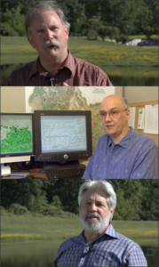
Category: Carbon and Climate

News Archive

Surveying Ice and Fire: The First Map of All of Iceland’s Glaciers and Subglacier Volcanic Calderas Released

For the first time, all of Iceland’s glaciers are shown on a single map, produced by the Icelandic Meteorological Office (IMO), in collaboration with the U. S. Geological Survey (USGS) and Iceland Geosurvey. The map is the first to incorporate historical data and coverage from aerial photographs and remote sensing satellites, such as Landsat and SPOT, to show the change in the areal extent of glaciers during the past century.

Read More »

Mapping the World with Landsat

Speeding around the Earth at 16,800 mph (27,000 kph), two Landsat satellites are quietly, expertly watching and recording changes in Earth’s lands from space. They are gathering data for people to make maps–all kinds of wonderful maps–of our cities growing, rivers flooding, lava flowing from volcanic eruptions, forests expanding or shrinking, crops greening through the growing season, and even of evidence of pollution.

Read More »

Meet Mauri Pelto, Glaciologist

At a small college in Dudley, Mass., a professor of Environmental Science is doing big things. Glaciologist Mauri Pelto is using Landsat imagery to monitor glaciers around the world from his office at Nichols College.

Read More »