
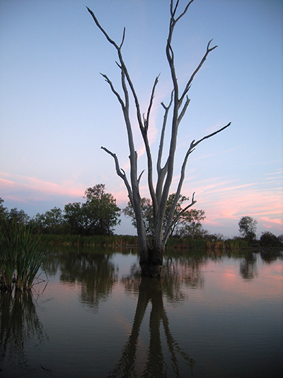
Landsat Insights: Wetland History in Your Hand
Practitioners managing the wellbeing of wetlands have a new tool at their disposal. The Wetland Insight Tool, developed by Geoscience Australia, provides a visual summary of 35+ years of wetland dynamics.
