
Source: International Institute of Tropical Forestry
The patterns of large-scale tropical deforestation endure across landscapes, even after more than a half-century of tropical rainforest expansion and growth back onto former agricultural lands, according to a new study published today in the journal Remote Sensing.
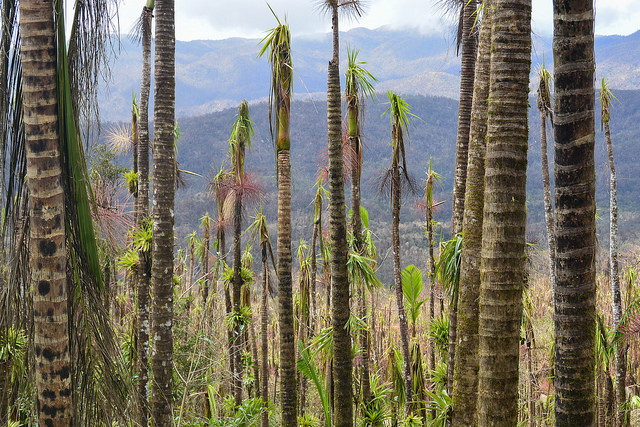
Scientists mapped forest characteristics across Puerto Rico and the Virgin Islands with forest inventories, Landsat satellite imagery from NASA and the US Geological Survey, and maps of climate and geology. Across this diverse region with many different types of tropical rainforest, the spatial patterns of forest characteristics reflected patterns of past forest clearing for farmland and the subsequent sequence of agricultural abandonment that determined forest age.
Exotic tree species, those which humans introduce to a region, are widespread and often dominate forests. Unprotected forests on more accessible and arable lands are younger because of past clearing, have more exotic species, are less diverse, store less carbon in their living biomass, and are more seasonal. They also have a greater ability to fix atmospheric nitrogen, which is thought to enhance growth but may also inhibit growth and release nitrogen oxides, which are highly potent greenhouse gases, to the atmosphere.
The exotic species are less common or rare, however, in the oldest, most remote forests on the least arable lands, though some can still grow in the shade of older forests.
Tree species native to the region are prominent in older forest, which tends to be further from roads and cities. And endemic species, those found nowhere else but these islands, are concentrated in the oldest forests. They are found in the most remote lands that are least suited for agriculture, in isolated and extreme environments where such unique species tend to evolve, including in cloud forest and forests on fast-draining or infertile soils like serpentine soils. In these places, agriculture was quickly abandoned and, in some places, the forest may never have been cleared. Probably not coincidentally, these same places were protected early.
Several of the mapped forest characteristics have links to United Nations Sustainable Development Goals, that among other things set goals for sustainable forest management.
Given that many of the mapped forest characteristics were related to the combination of forest age, climate and geology, and that forest age can now be mapped globally with long time series of satellite imagery, the study results suggest that forest age maps, when combined with maps of climate and underlying geology, would be useful for sustainably managing tropical forest landscapes.
The article appears in a Special Issue, Remote Sensing of Tropical Forest Biodiversity, guest edited by Dr. Gregory P. Asner of the Carnegie Institution for Science and Stanford University. The lead author is Eileen Helmer of the International Institute for Tropical Forestry. Co-authors of the study include Barry Wilson, Humfredo Marcano, Thomas Brandeis and Bonnie Ruefenacht of the USFS Northern and Southern Research Stations and Geospatial Technology Applications Center, Thomas Ruzycki and Michael Lefsky of Colorado State University, Heather Erickson of Consulting Research Ecology, and Kirk Sherrill of the U.S. National Park Service.
Reference:
Helmer, Eileen H., Thomas S. Ruzycki, Barry T. Wilson, Kirk R. Sherrill, Michael A. Lefsky, Humfredo Marcano-Vega, Thomas J. Brandeis, Heather E. Erickson, and Bonnie Ruefenacht. 2018. “Tropical Deforestation and Recolonization by Exotic and Native Trees: Spatial Patterns of Tropical Forest Biomass, Functional Groups, and Species Counts and Links to Stand Age, Geoclimate, and Sustainability Goals.“ Remote Sensing 10 (11):1724.


