

Between October 2023 and October 2024, the four dams of the Klamath Hydroelectric Project were taken down, opening more than 400 miles of salmon habitat.

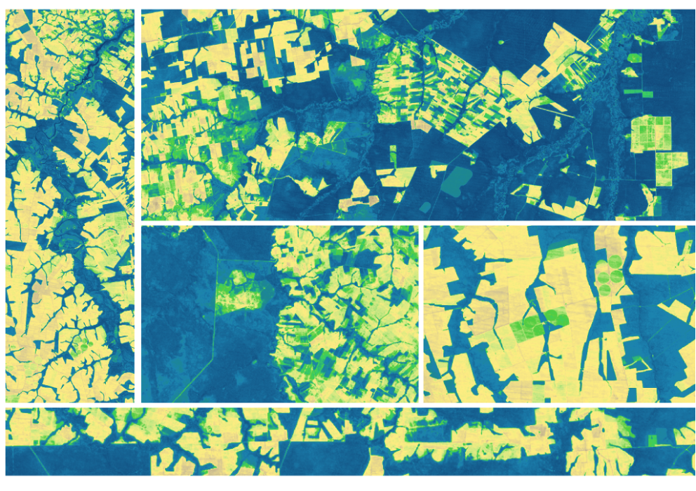
In this animation of 2024 and January 2025, crop fields in Saudi Arabia cycle through their growing seasons.

Using Landsat’s thermal imagery, researchers at Gallo Winery have been able to better understand vineyard water needs and optimize irrigation.

Between October 2023 and October 2024, the four dams of the Klamath Hydroelectric Project were taken down, opening more than 400 miles of salmon habitat.

In this animation of 2024 and January 2025, crop fields in Saudi Arabia cycle through their growing seasons.
