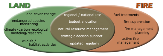
To develop the disturbance layers, the LANDFIRE 2014 Update team at the USGS EROS Center used a consistent approach of combining geospatial data depicting areas of disturbance with Remote Sensing of Landscape Change (RSLC) derived data. Data from combinations of Landsat satellite imagery, fire program data, e.g., Monitoring Trends in Burn Severity (MTBS), cooperator-provided field data, and other ancillary data, e.g., Protected Area Database (PAD), were used to locate and characterize large wildfires.
Data for each year from 1999-2014, along with the updated vegetation and fuels layers, are distributed through the LANDFIRE Program website as well as through various web applications including the Wildland Fire Decision Support System and ArcGIS Online.
+ LANDFIRE 2014 CONUS Update

Be Part of What’s Next: Emerging Applications of Landsat at AGU24
Anyone making innovative use of Landsat data to meet societal needs today and during coming decades is encouraged to submit and abstract for the upcoming “Emerging Science Applications of Landsat” session at AGU24.


