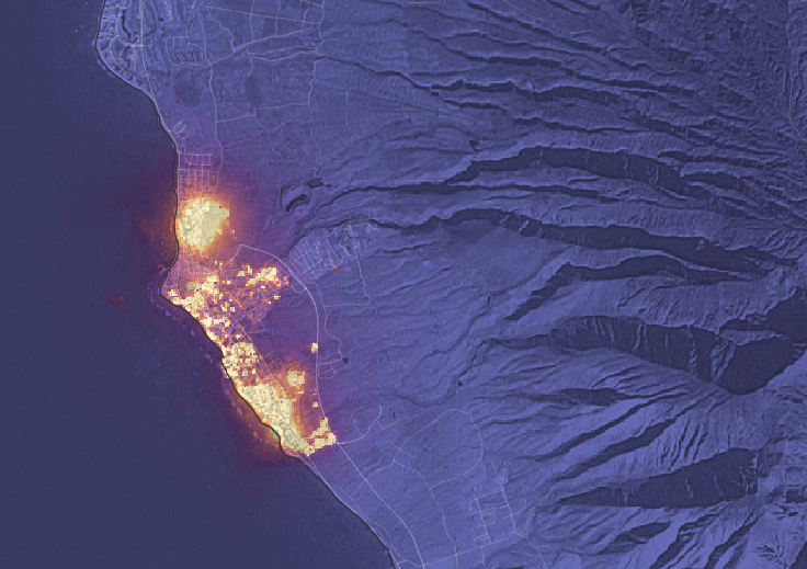
Landsat is a joint effort of both USGS and NASA. USGS conducts Landsat operations and NASA develops and launches new satellites that meet USGS requirements. In addition to imagery of natural hazard events, Landsat provides valuable data for land use research.
Source: Jon Campbell, USGS
For further information:
+ USGS press release

New Tool Provides Rapid Evaluation of Water Quality
A combination of Landsat and Sentinel-2 imagery, NASA near real-time data, and machine learning provides near real-time access to high-resolution water quality maps.


