The joint U.S. Geological Survey and NASA Landsat mission provides the longest continuous visual record of Earth’s surface from space. From the first satellite launched in 1972, to Landsat 9 that launched in September 2022, this mission provides scientists and researchers with the necessary data to conduct research and make informed decisions about Earth and the environment.
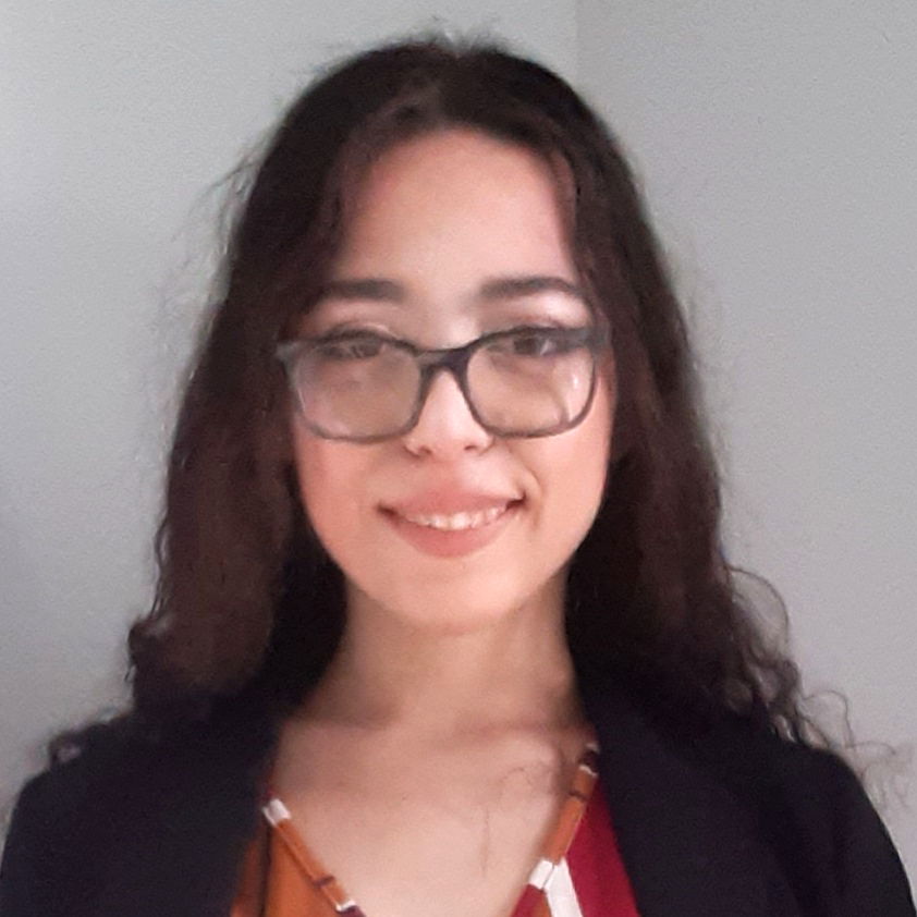
In recognition of Earth Day, NASA is highlighting two interns advancing the well-being of our planet through their work with the Landsat team.
As a Native Caribbean from Borikén (Puerto Rico), Chantil Hunt Estevez’s culture taught her from a very young age to care for the planet and view it to connect with one another.
“For me, Earth Day is a celebration of our living mother planet. This day reflects the ways we are all so interconnected to one another as Earthlings; how each atom and molecule on this planet connects every living and nonliving entity to our home,” Estevez said.
Estevez currently works as an outreach animator and design generalist under the Landsat communication and public engagement team at NASA’s Goddard Space Flight Center. Her primary focus is to engage audiences of all ages and backgrounds on the topics of STEM through a variety of interactive platforms.
“I specialize in the design and implementation of highly stylized animated worlds through 3D and 2D engines, as well as the development of realistic models and simulations,” Estevez said. “I am what some may refer to as a unicorn in the industry of design; a person who will research, wireframe, test, design, animate, implement, and even program to achieve the desired result of the missions I am honored to be tasked with.”
Estevez’s current project includes the development of an interactive game, based off the children’s book called, “Adventures of Echo the Bat.” Combining her background as a digital artist with Landsat satellite images the project will highlight the various landscapes of Earth and create an interactive story for readers and viewers of all ages.
“As a previous Earth science major, the topic of Earth science is the reason why I chose to pursue simulation and game design,” Estevez said. “My passions are to inspire others and simplify what some may consider complex research into mediums that people of many different ages can absorb.”
By combining scientific research with the unconventional artistic platform of game design and graphic design, Estevez is influencing the ways people of all ages interpret the world around them and better understand their home planet.
“Working under the Landsat team has been an absolute honor, and I cannot begin to express how rewarding it has been to see the skills I have developed be affirmed through this mission,” Estevez said. “The Landsat satellite is an amazing feat that I hope more people become aware of in the future, as it holds powerful means to evaluate detailed progress of our planet’s health over time, including forests, farms, among so many other habitats, as well as provide an artistic inspiration.”
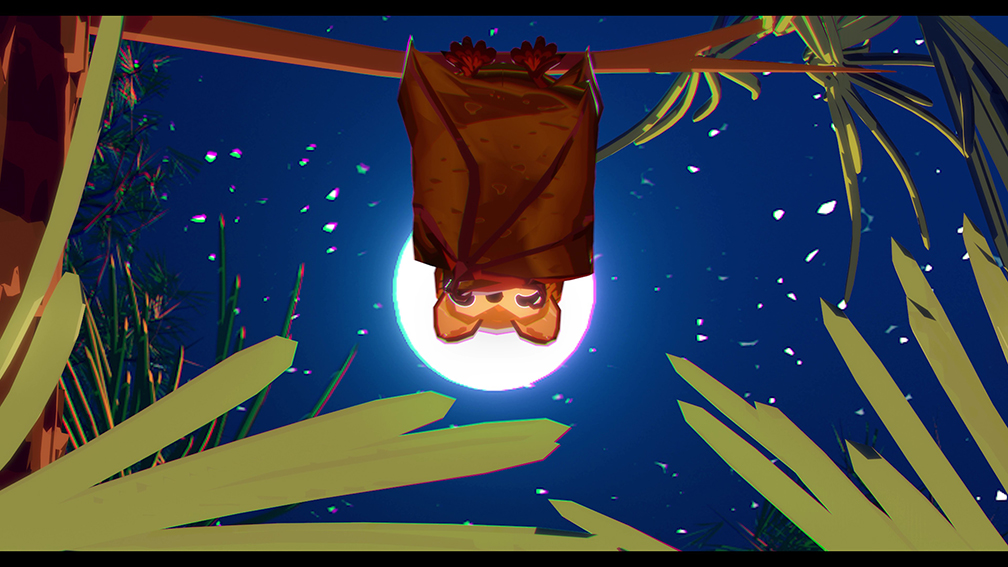
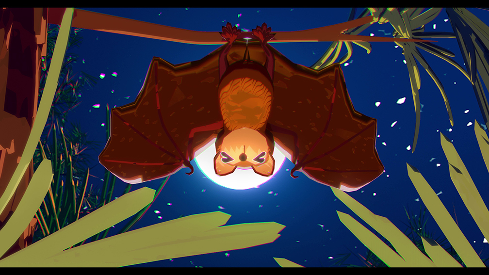
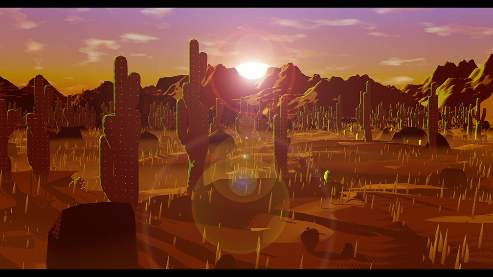
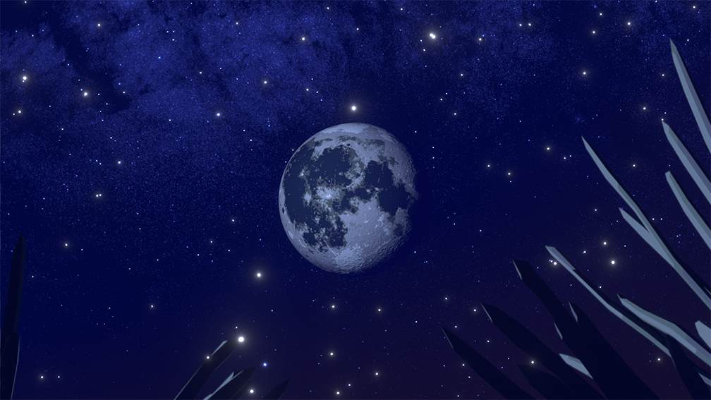
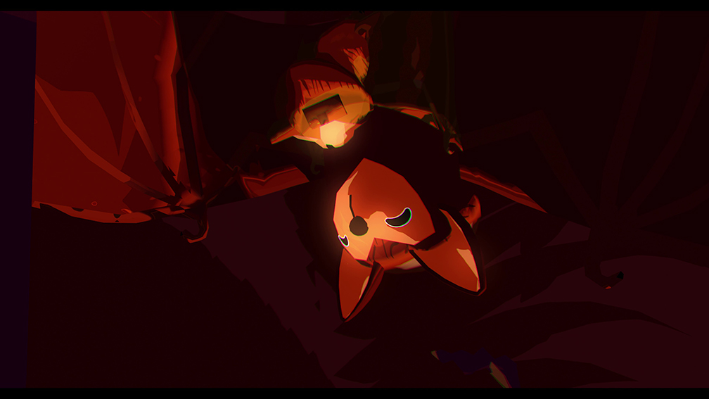
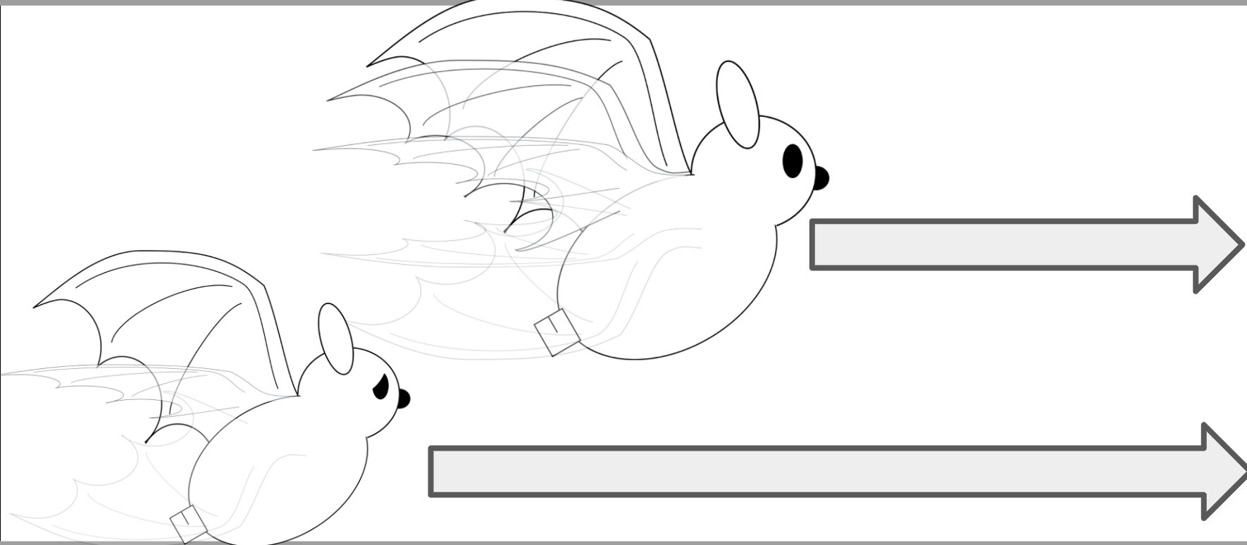

During their Landsat internship, Estevez and Bolaños are helping to develop a new Echo the Bat video and related learning activities.
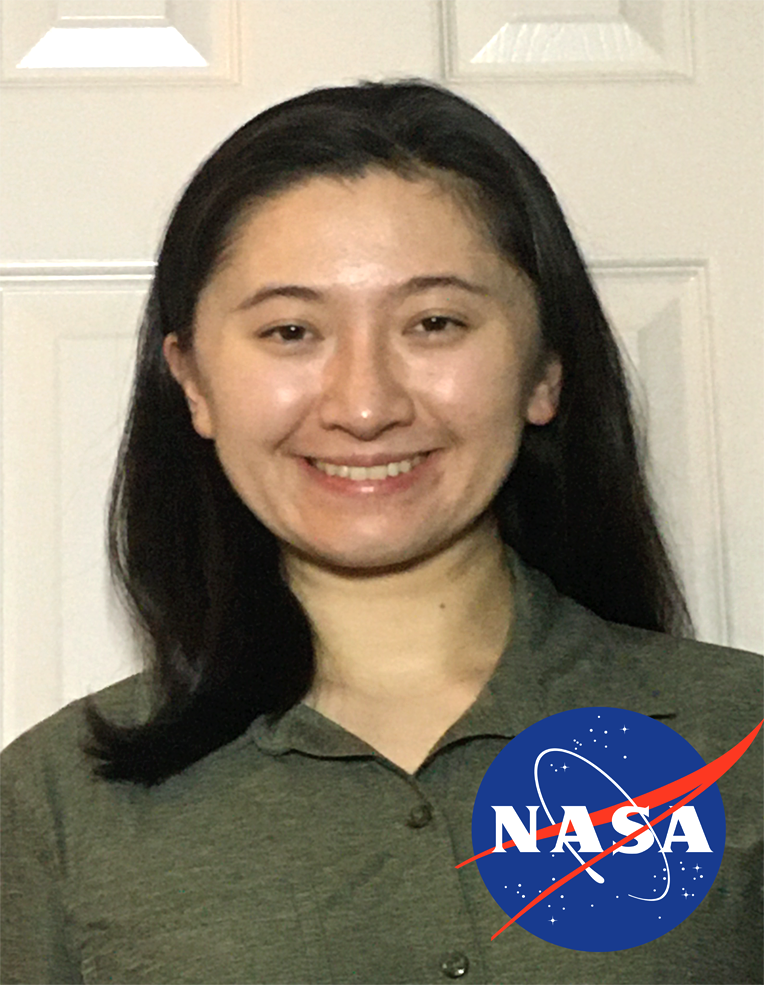
Claudia Bolaños, a graduate student at the George Mason University, also interns with the Landsat communication and public engagement team, creating multimedia to educate the public on how satellite imagery works and directly impacts our daily lives.
“I study Landsat’s past projects and most recent findings on Earth, to make multimedia learning products as accurate and accessible as possible,” Bolaños said. “The changes documented by our work will either help or hinder Earth’s ability to sustain life. We also teach how exactly Landsat studies Earth’s changes: by using certain technology, and by collaborating with other scientific organizations. As human societies continue growing, sharing this knowledge will continue being impactful in the future.”
Bolaños believes by creating unique and visual ways for individuals to learn about our home planet, the more effectively they can care for Earth in the future.
“I’m currently making videos, mostly in the pre-and post-production stages. That means I’m responsible for storyboards and for editing. Those videos will be embedded into a website created by the rest of our team,” Bolaños said.
Most of Bolaños’ projects also include collaboration with researchers to develop age-appropriate lessons and activities for children, based on the Landsat multimedia projects. These projects raise awareness of the Landsat mission and inform the public on the current state of the environment.
Through the work conducted by people using Landsat data the Landsat Satellite project, individuals gain a better appreciation for the world in which we live.
“I think of Earth Day as a yearly health check for the planet — to see what we’re doing right, and what to do better,” Bolaños said.


