
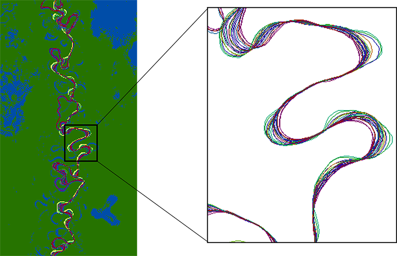


Landsat images show that in the past 40 years alone, Louisiana’s coastal wetlands have undergone substantial changes.

Haiti lost nearly half of its primary forests between 1996 and 2022, with fires and tree-cutting being major drivers of loss, according to a new study.
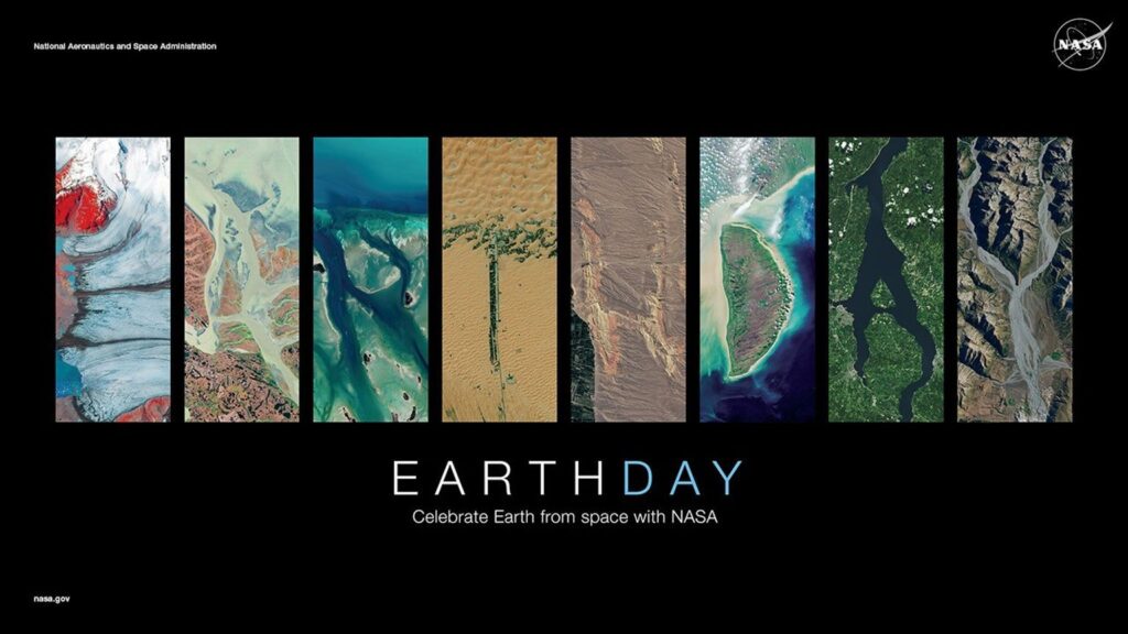
On April, 22, 2025, NASA celebrated Earth Day as only NASA can: with beautiful Landsat imagery of our home planet.

Landsat images show that in the past 40 years alone, Louisiana’s coastal wetlands have undergone substantial changes.

Haiti lost nearly half of its primary forests between 1996 and 2022, with fires and tree-cutting being major drivers of loss, according to a new study.
