Presentation Title
Remote-Sensing and Automated Water Resources Tracking: Near Real-Time Decision Support for Water Managers Facing Drought and Flood
What are the major findings of this research?
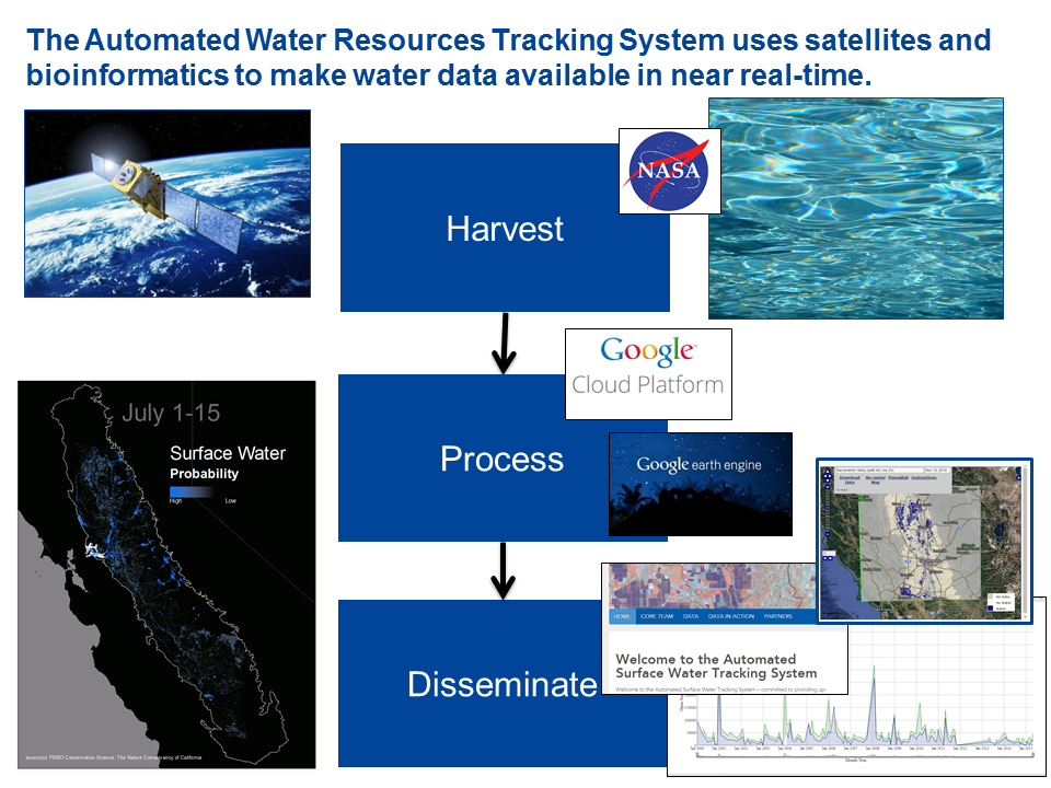
By combining Landsat satellite data, classification modeling, bioinformatics, optimization, and ecological analyses, we can provide a near real-time water resources tracking and decision-support system for the Central Valley of California.
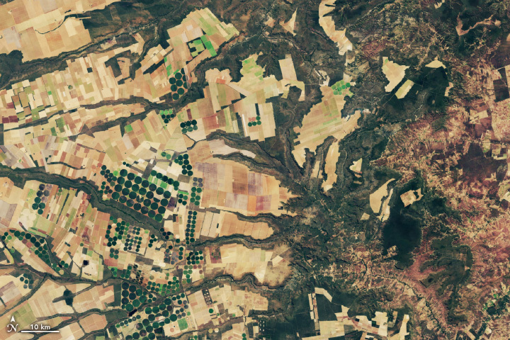
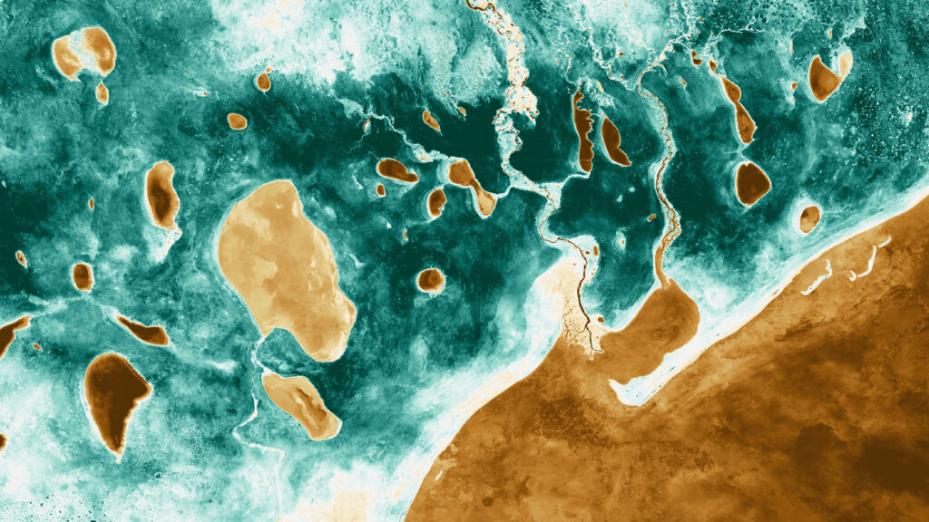
The automated water tracking system provides information on surface water distribution every 16-days for the entire Central Valley and delineates between wetland types and flooded agriculture.
Classified water and wetland data, as well as, data summaries are made freely available online for download 3-6 days post acquisition by the Landsat satellite.
Initial analyses using these data suggest 10-40% decline in peak extent of flooding of wetlands and post-harvest flooded rice during the recent drought (2013-2015) compared to 2000-2011 and consequently a decline in waterbird habitat.
What are the implications of your findings?
Our system provides needed information on the spatial distribution of water in near real-time and can facilitate adaptation of water resource management to changing conditions on the landscape.
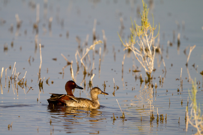
By understanding when and where there are significant declines in water during drought, water and wetland managers can strategically deploy their limited water resources to benefit migratory birds and other wildlife. These Central Valley water data specifically have been applied to maximize the value of The Nature Conservancy’s BirdReturns program.
What insight did you gain from Landsat that would have been impossible to glean otherwise?
Our analysis of the distribution of water across the whole Central Valley and over the 2000-2015 period enabled an assessment of the relative influence of the recent extreme drought (2013-2015) on water and wetland resources compared to other droughts in the last 15 years. This spatial and temporal scale of analysis was made possible by the Landsat archive. Further, the automated water tracking system is only possible because of the regular free availability of high-resolution Landsat imagery.
How do you foresee competition for water in California manifesting?
Our goal is to inform multi-benefit, nature-based solutions to increasing demand and competition for water in California. For example, these data can identify opportunities and trade-offs to providing wetland wildlife habitat and contributing to groundwater recharge.
Co-authors:
Nathan Elliott
Point Blue Conservation Science
Sam Veloz
Point Blue Conservation Science
Fayvor Love
Point Blue Conservation Science
Doug Moody
Point Blue Conservation Science
Catherine Hickey
Point Blue Conservation Science
Michael Fitzgibbon
Point Blue Conservation Science
Mark Reynolds
The Nature Conservancy
Rachel Esralew
U.S. Fish and Wildlife Service
This work was made possible by The Nature Conservancy, United States Fish & Wildlife Service, USGS, Pacific Gas and Electric
Anyone can freely download Landsat data from the USGS EarthExplorer or LandsatLook.
Further Reading:
+ Landsat Helps Feed Tired And Hungry Birds
+ Landsat Helps Feed the Birds
+ Landsat Abounds at #AGU16
NASA Study Finds Potential Carbon Sink in Boreal Forest Growth
New research led by Landsat 8/9 Project Scientist Chris Neigh used Landsat and ICESat-2 data to investigate how boreal forests growth could sequester carbon.