
Landsat's Role in Responding to Disasters
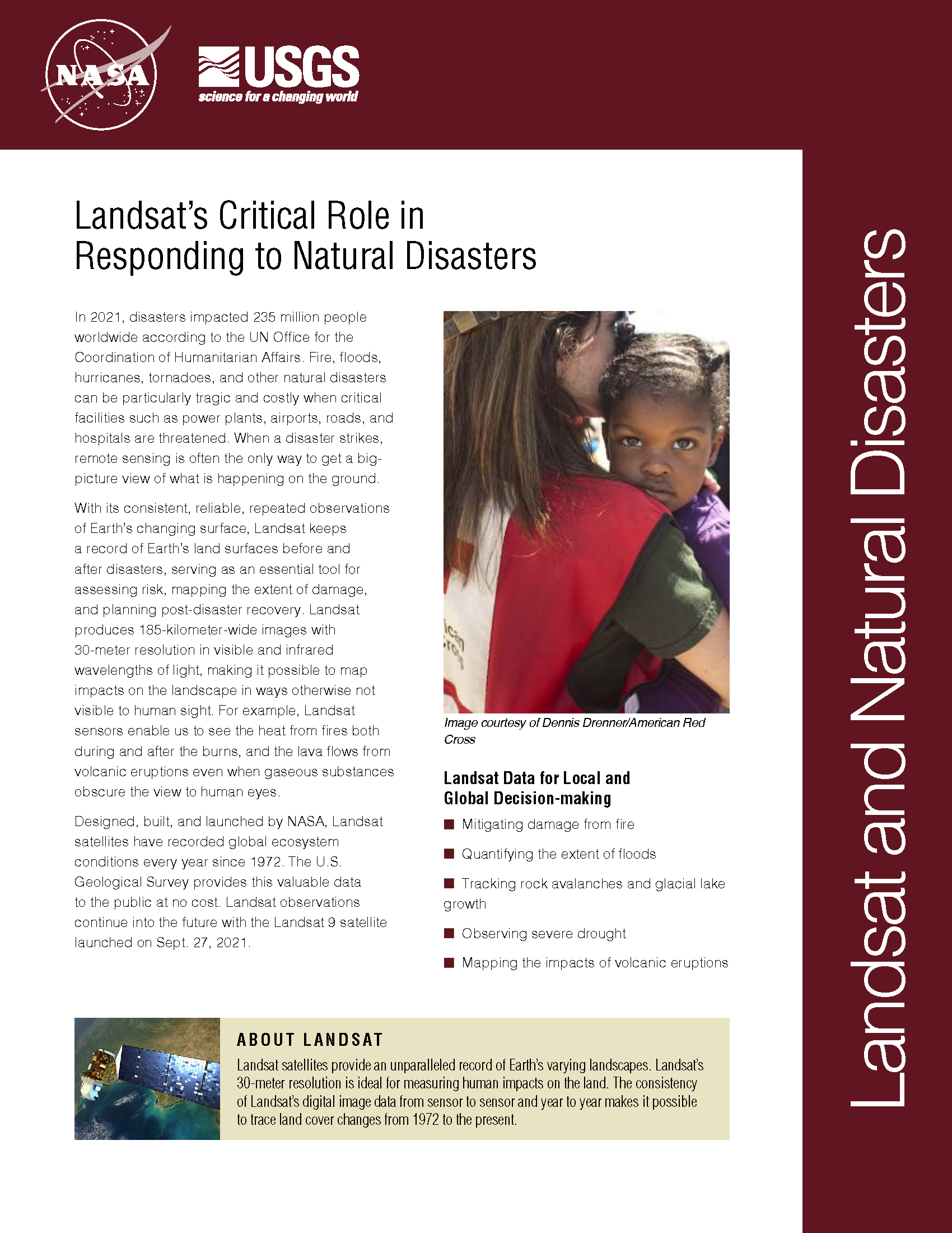
In 2022, the Emergency Events Database (EM-DAT) reported 387 natural hazards and disasters worldwide, resulting in the loss of over 30,000 lives and affecting more than 185 million individuals. Economic losses totaled around US$223.8 billion. Fires, floods, heat waves, drought, hurricanes, tornadoes, and other natural disasters can be particularly tragic and costly when critical facilities such as power plants, airports, roads, and hospitals are threatened. When a disaster strikes, remote sensing is often the only way to get a big-picture view of what is happening on the ground. With its consistent, reliable, repeated observations of Earth’s changing surface, Landsat keeps a record of Earth’s land surfaces before and after disasters, serving as an essential tool for assessing risk, mapping the extent of damage, and planning post-disaster recovery. Landsat produces 185-kilometer-wide images with 30-meter resolution in visible and infrared wavelengths of light, making it possible to map impacts on the landscape in ways otherwise not visible to human sight. For example, Landsat sensors enable us to see the heat from fires both during and after the burns, and the lava flows from volcanic eruptions even when gaseous substances obscure the view to human eyes.
Mapping Disaster: A Global Community Helps from Space
Year after year, somewhere on Earth, natural or manmade disasters cause loss of life and widespread destruction, frequently spawning refugee situations. Though the risk of a disaster is low in any one particular place, earthquakes, volcanoes, floods, fires, landslides, oil spills, and hurricanes—when considered together on a global scale—regularly menace people, property, and natural resources.
Flooding in the UK
As part of the International Charter—Space and Major Disasters, a number of satellite-derived maps showing the extent of flooding across the UK have been released, including the above Landsat 8-derived map of flooding along the River Thames near Oxford.
Wildfire Science Returns to Rim Fire
Although dousing the flames was foremost in people’s minds during the recent Rim Fire in Stanislaus National Forest and Yosemite National Park, U.S. Geological Survey scientific work continues well after the fire is out. USGS scientists are continuing their critical research characterizing the hidden dangers faced after large wildfires.
Landsat 8 Satellite Sees Rim Fire from Space
Two recent images from the Landsat 8 satellite compare land conditions in the vicinity of Yosemite National Park before and during the Rim Fire. The images, from August 15 before the fire began and from August 31, can be contrasted and downloaded from the USGS Earth Resources Observation and Science (EROS) Center.
Landsat Revisits Old Flames in Fire Trends
The Wallow Fire burned over 500,000 acres, making it the largest fire in Arizona history, to date. It is one of many large fires that fire managers and researchers have seen scorch forests nationwide since the early 2000s.
After a Fire, Before a Flood
While the 138,000-acre Silver Fire still smoldered, forest restoration specialists were on the job. They analyzed maps created using Landsat satellite data to determine where the burn destroyed vegetation and exposed soil—and where to focus emergency restoration efforts.
