Landsat’s Role in Managing Ecosystems and Biodiversity
Our world is made of complex networks of living things and physical elements that constantly interact and affect each other. Such networks are known as “ecosystems.” Healthy and economically important ecosystems such as temperate forests, wetlands, grasslands, coastal zones, coral reefs, and rainforests all play roles in human life. For example, farm and rangeland ecosystems must be healthy to produce the grains and livestock on which we depend as a nation. Marine ecosystems depend on the health of land ecosystems, because coastal areas provide habitat needed to support the productivity and diversity of aquatic organisms. Landsat has brought valuable capabilities to ecosystem studies. Landsat instruments measure reflected light in visible and infrared wavelengths. Because plants reflect little visible light and a lot of infrared light when they are healthy, the measurement of both types of light simultaneously gives scientists a way to assess plant health and density over a landscape. Measurements are detailed enough while still covering a wide area that ecologists can expand their interpretations of local events and processes, such as an insect infestation in a specific forest, to a regional scale. This helps them to gauge the health of larger ecosystems. Because Landsat data are accurately mapped to reference points on the ground and adjusted for topographic relief, they can be integrated with other geographic data sets and models to explore more complex studies of ecosystems and biodiversity across space and time.
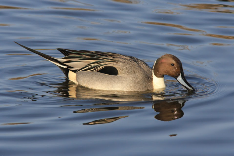
Predicting Waterbird Habitat in California
Ecologists are using Landsat to locate waterbird habitat that may be vulnerable in dry years.
Understanding the Ecological and Environmental Impacts of Urbanization
Landsat-based urban extent and phenology indicators provide new information about urban environments.
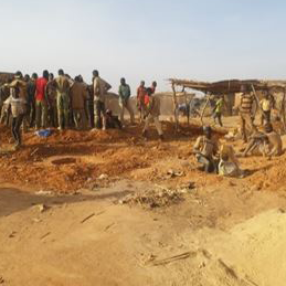
Assessing the Environmental Impacts of Artisanal Gold Mining
Landsat helps monitor changes in artisanal gold mining areas, enabling land managers to prevent and remedy environmental impacts.
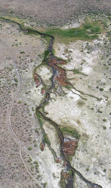
When a River Runs Through Drylands
There is a dance between the vegetation that thrives along a river’s edge and the availability of water; with Landsat, that relationship is now being understood in ways not previously possible.
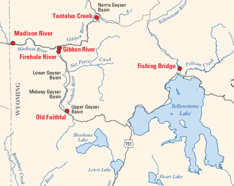
Tracking New Hydrothermal Activity in Yellowstone
Landsat is among the resources that scientists are using to assess hazards and track volcanic activity in Yellowstone.
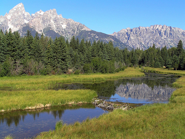
Smokey the Beaver? Beaver Dams and Wildfire
Landsat helped confirm and quantify what was only anecdotally known before: beaver dams make wetlands uniquely resistant to wildfires.