
Landsat’s Role in Protecting Human Health
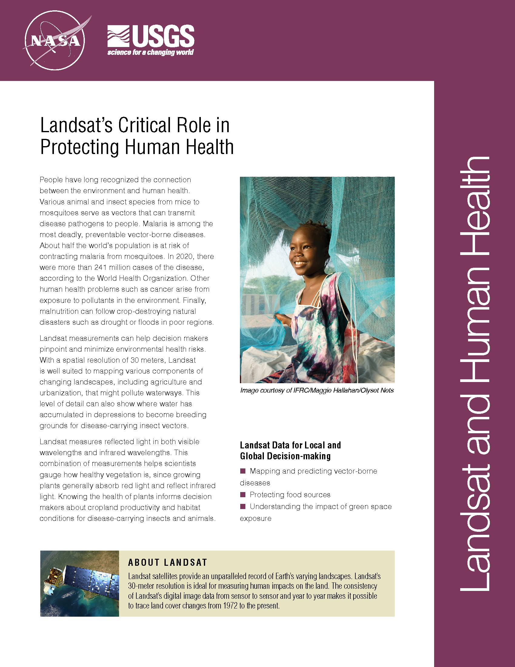
People have long recognized the connection between the environment and human health. Various animal and insect species from mice to mosquitoes serve as vectors that can transmit disease pathogens to people. Malaria is among the most deadly, preventable vector-borne diseases. About half of the world’s population (3.3 billion people) is at risk of contracting malaria from mosquitoes, according to the World Health Organization. Other human health problems such as cancer arise from exposure to pollutants in the environment. Finally, malnutrition can follow crop-destroying natural disasters such as drought or floods in poor regions. Landsat measurements can help decision makers pinpoint and minimize environmental health risks. With a spatial resolution of 30 meters, Landsat is well suited to mapping various components of changing landscapes, including agriculture and urbanization, that might pollute waterways. This level of detail can also show where water has accumulated in depressions to become breeding grounds for disease-carrying insect vectors. Landsat measures reflected light in both visible wavelengths and infrared wavelengths. This combination of measurements helps scientists gauge how healthy vegetation is, since growing plants generally absorb red light and reflect infrared light. Knowing the health of plants informs decision makers about cropland productivity and habitat conditions for disease-carrying insects and animals.
What is the Economic Value of Satellite Imagery?
Does remote-sensing information, such as that from Landsat and similar Earth-observing satellites, provide economic benefits to society, and can this value be estimated? Using satellite data for northeastern Iowa, U.S. Geological Survey scientists modeled the relations among land uses, agricultural production, and dynamic nitrate (NO3–) contamination of aquifers.
Using Landsat to Map Cladophora in the Great Lakes
Cladophora, a nuisance, native green algae that grows attached to solid substrate in all of the Laurentian Great Lakes, has expanded its range partially due to invasive quagga and zebra
Analyzing Landsat to Mitigate Bird/Aircraft Collisions
The presence of birds near an aircraft runway is a constant concern. Although deadly crashes are rare, a bird strike to the windshield can cause visibility issues for pilots, and
It Takes a Satellite To Feed the World
Source: Charles L. Walthall, USDA Agricultural Research Service Forum It’s ironic that just when Earth-monitoring satellites are needed more than ever to address the food and freshwater demands of a burgeoning
Combating drought in the Horn of Africa
• UNESCO began mapping groundwater this January in the drought-stricken Horn of Africa, in order to bring the population a sustainable water supply. Drought has caused the region’s worst famine
Landsat-Based Maps Aid German Relief Work in East Africa
Eastern Africa is in the grip of the worst drought it has seen in 60 years and the region is facing severe famine. In Somalia alone, it is estimated that
