
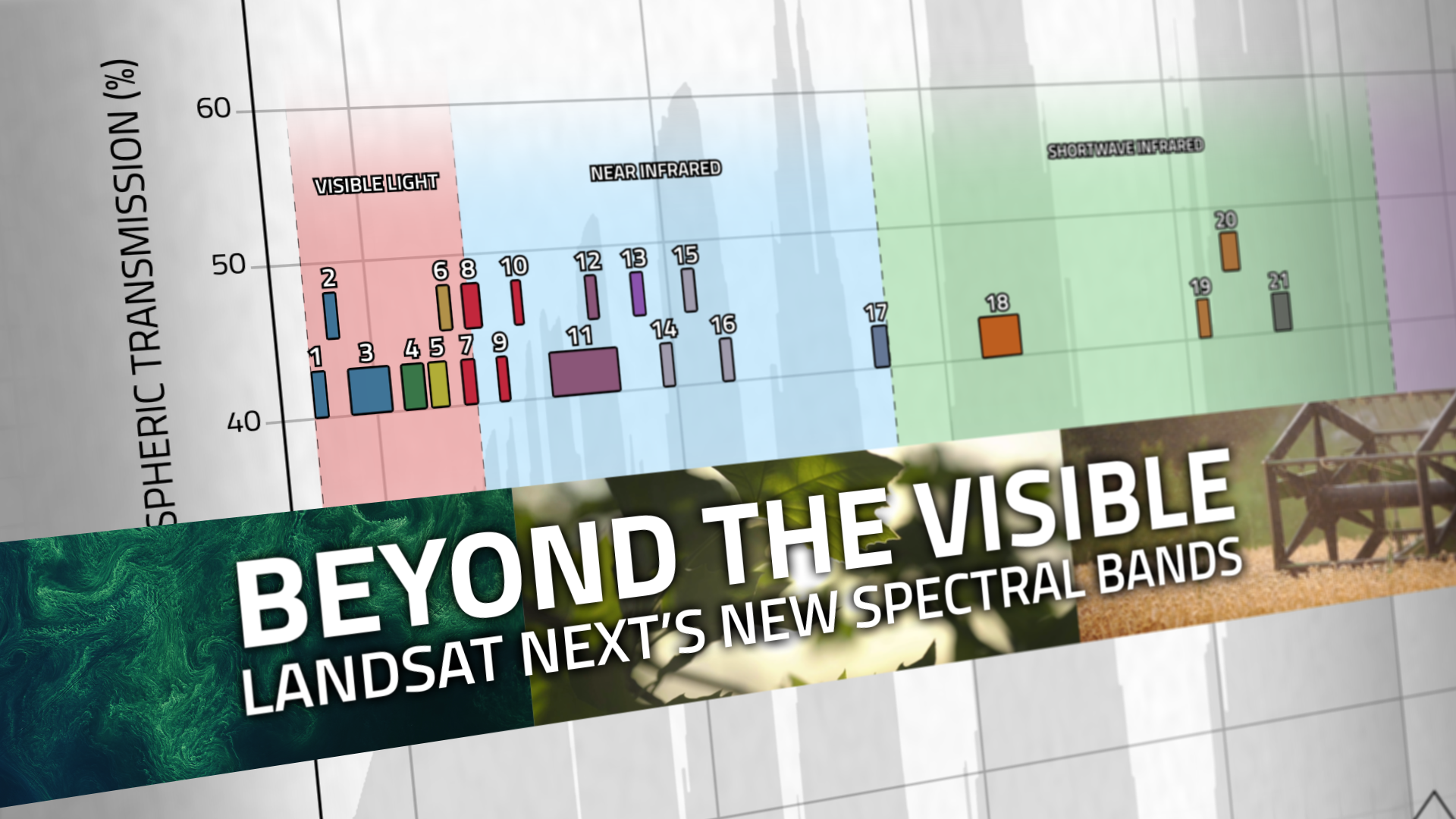
Beyond the Visible: Landsat Next’s New Spectral Bands
With Landsat Next’s 26 new spectral bands, we’ll be able to see our planet like never before. Landsat Next’s enhanced capabilities will provide scientists, farmers, and decision-makers with critical data to tackle global challenges.
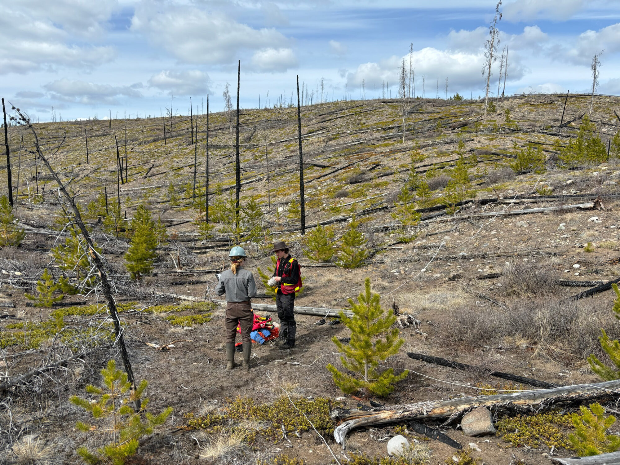
Understanding Forests After Fire With Landsat and LiDAR
Wildfires have been increasing in frequency and size across North America in recent years. British Columbia is no exception to that trend; more than 4% of the heavily-forested province has burned since 2017. In 2023, Canada saw its worst wildfire season in recorded history. These high intensity fires affect ecosystem health and local economies, as timber is a major industry in BC.
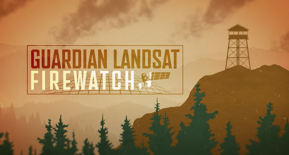
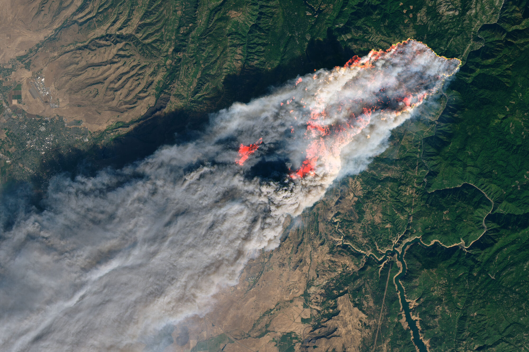
Guardian Landsat on Firewatch
Landsat collects data that helps effectively deal with intensifying wildfires—at all stages of the fire cycle.
Drought is Driving Fires to Burn Overnight
A new study tracks the shifting dynamics of wildfires in western North America. Using Landsat-derived datasets and active fire information from geostationary satellites, researchers found that fires are burning through the night more often—and drought is partially to blame.

Landsat Observations Key Resource for Many Federal Agencies
In the FY23 Aeronautics and Space Report released on May 23, 2024, a multitude of Federal agencies report work informed by Landsat data.
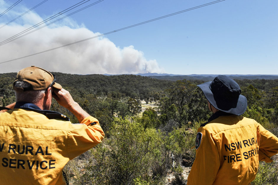
Spotted by Satellite: Situational Awareness in Fiery Times
The Australian company Indji Systems uses a variety of satellite data to provide real-time hazard monitoring and alerts to utility and renewable energy companies across Australia, North America and Europe.