
Bex Dunn: Landsat Data User + Wetland Explorer
Bex Dunn is an Earth Observation Scientist at Geoscience Australia where she uses Landsat data to better understand wetlands.
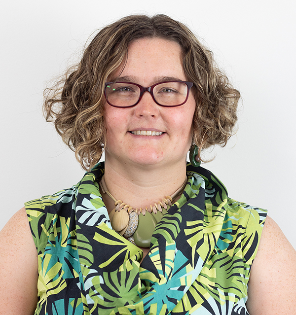
Meet Julia Barsi, Landsat Calibration Scientist
Julia Barsi calibrates instruments on Landsat satellites.
50 Years, 50 Stories: Inbal Becker-Reshef
I use Landsat data alongside other satellite and field data to map where and when crops like wheat are growing, to analyze different management practices including when crops are planted and harvested, to assess crop health and to forecast end of season yields.
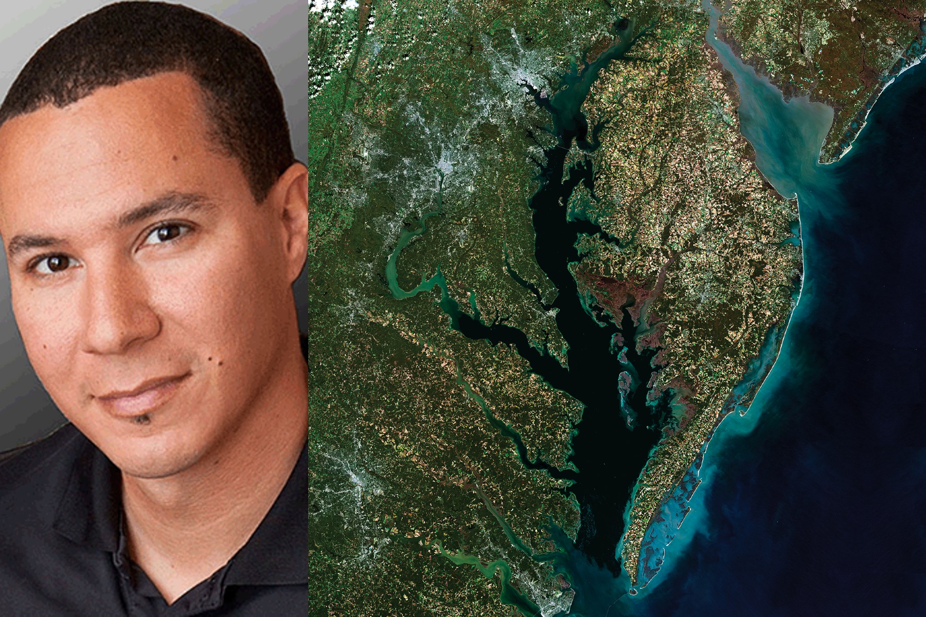
50 Years, 50 Stories: Chris Neigh
We’ve processed more than 224,000 Landsat images of the boreal forest, from 1984 through 2020, all to understand changes in tree-cover extent.
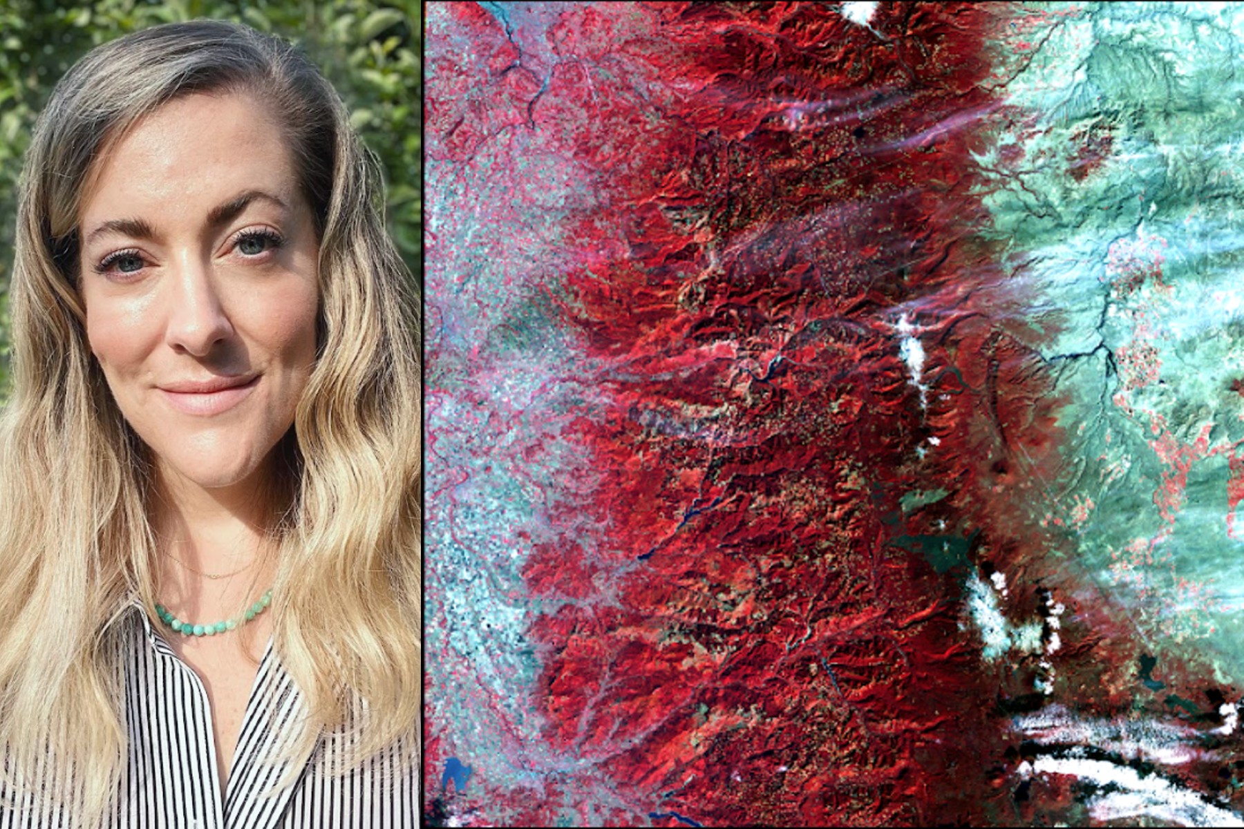
50 Years, 50 Stories: Morgan A. Crowley
In my Ph.D. research at McGill University in Canada, I used Landsat data to map fire progressions for Canadian wildfires.
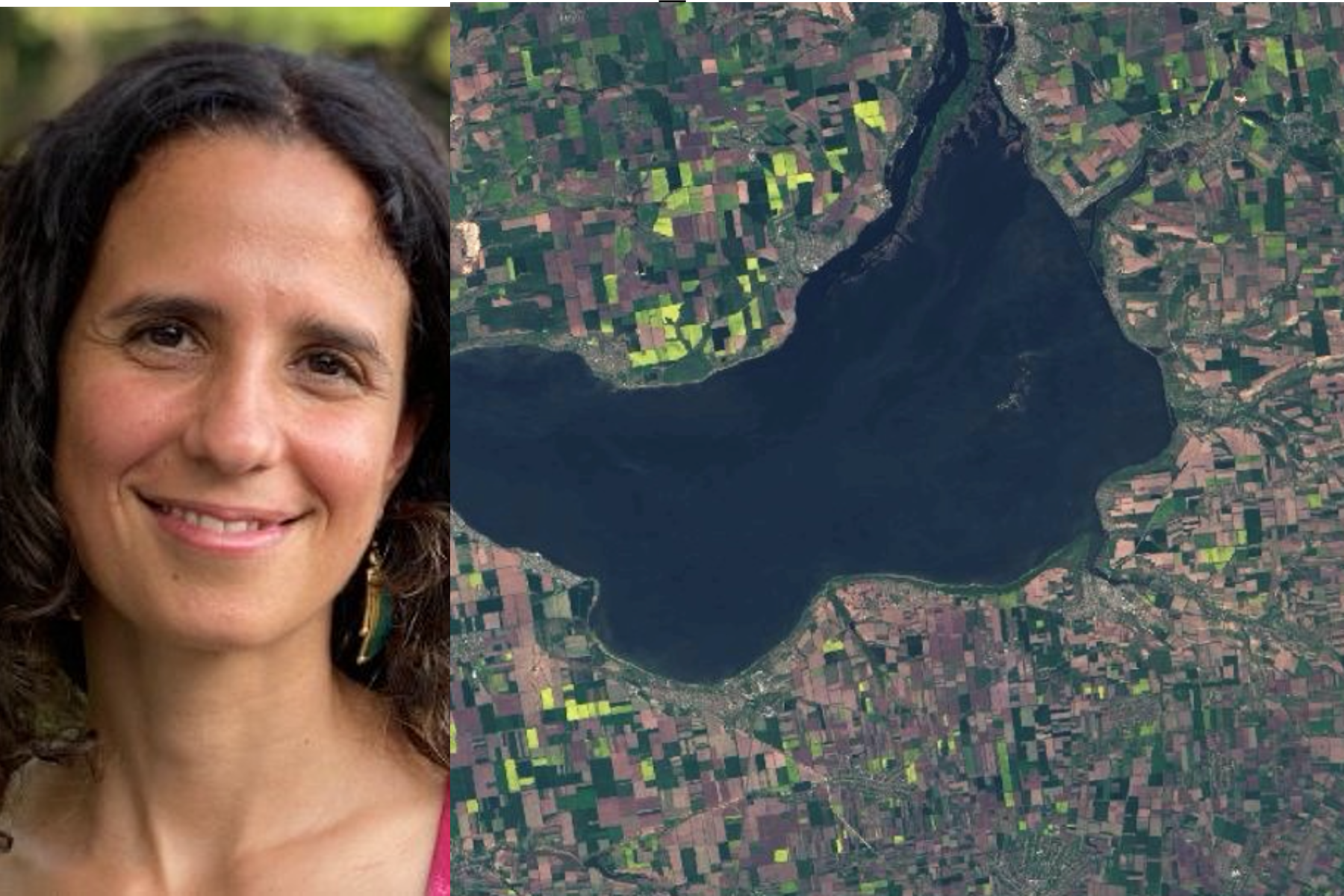
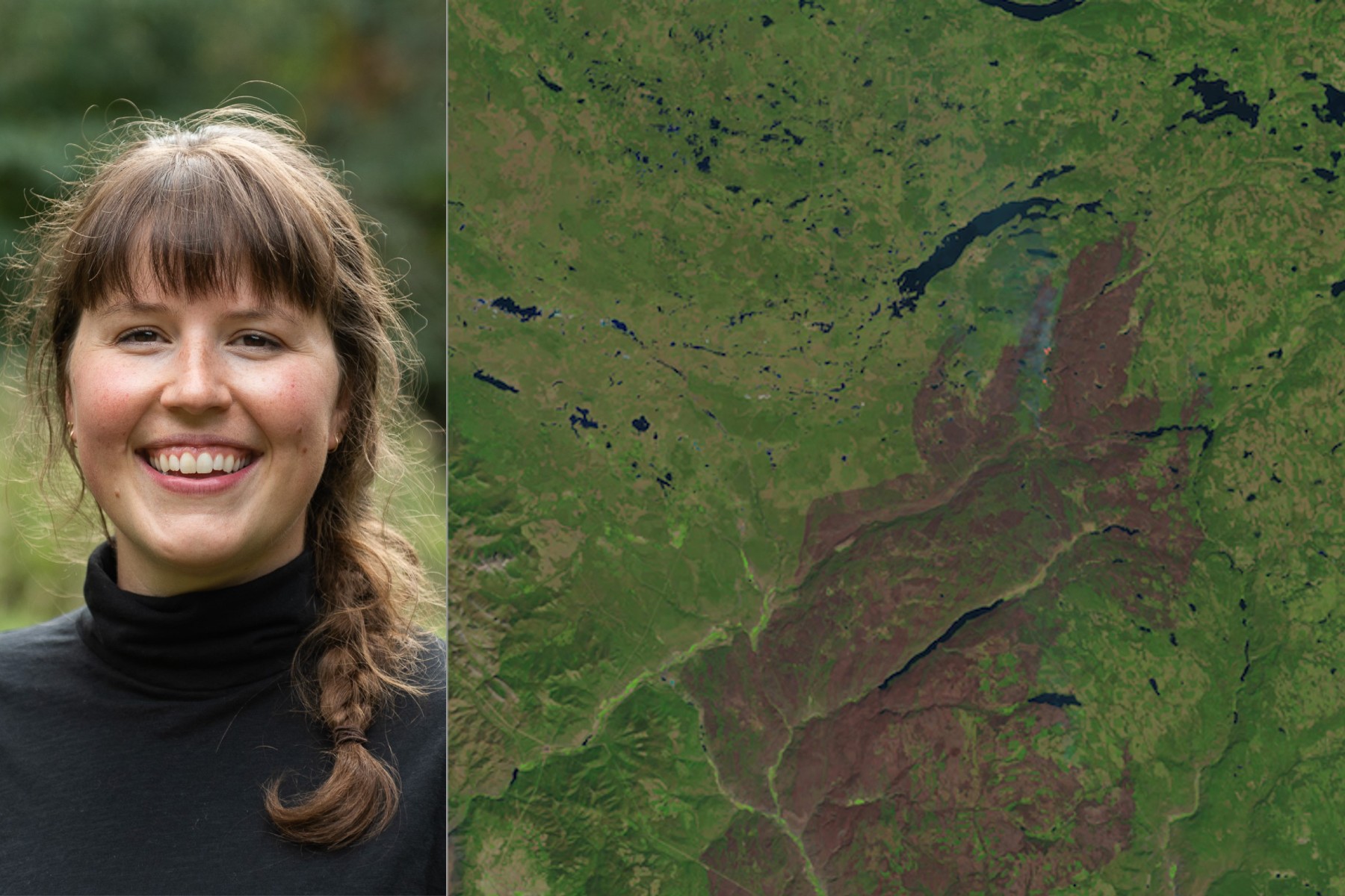
50 Years, 50 Stories: Kate Fickas
I use Landsat to explore wetland and aquatic ecosystem dynamics over time, studying how they may vary in a changing climate. Biotic and abiotic, everything on Earth has its own connection.
