
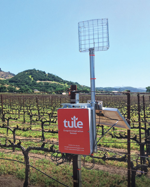
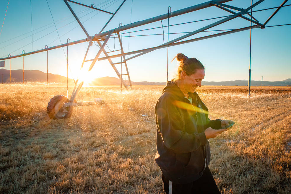
Satellite Imagery Helps Farmers Cut Water Use in Half
A young start-up is using satellite data to give California farmers better information about water, which can translate into water savings or bigger yield for the same input.
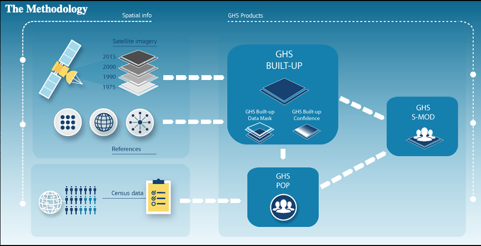
Landsat: Buttressing Knowledge About This Planet
A number of new data products with information derived from Landsat inputs have become available recently.
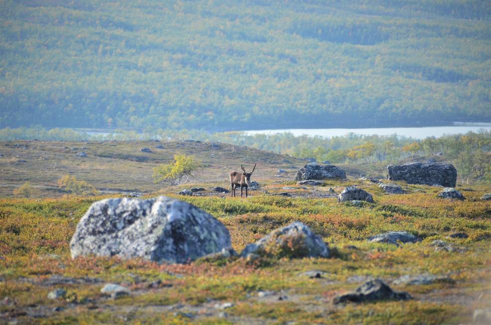
Warming Temperatures are Driving Arctic Greening
Using satellite images to track global tundra ecosystems over decades, a new study found the region has become greener, as warmer air and soil temperatures lead to increased plant growth.
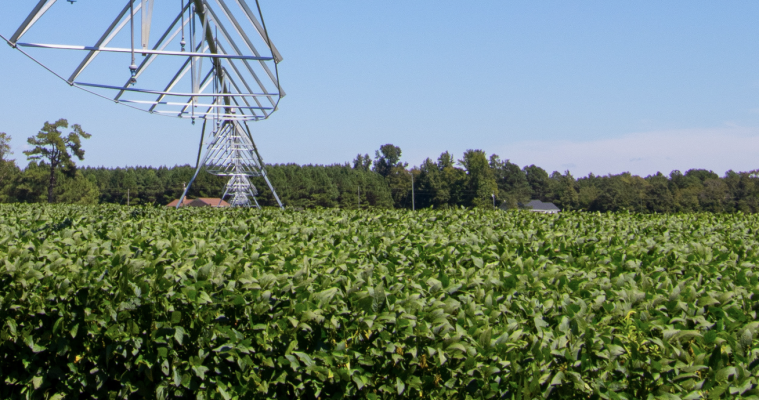
Mapping Twenty Years Of Historical US Midwestern Corn And Soybean Information with Landsat
A new data set uses Landsat data to extend the Crop Data Layer back in time.
Transforming Water Management in the U.S. West with Satellite Data
A new web-based platform called OpenET will soon be putting satellite data in the hands of farmers, water managers and conservation groups to accelerate improvements and innovations in water management.
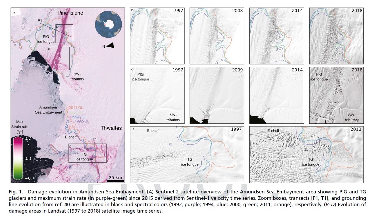
Antarctica: Cracks in the Ice
Combined satellite imagery have afforded researchers a new, accurate picture of the rapid development of damage in the shear zones on the ice shelves of Pine Island and Thwaites.
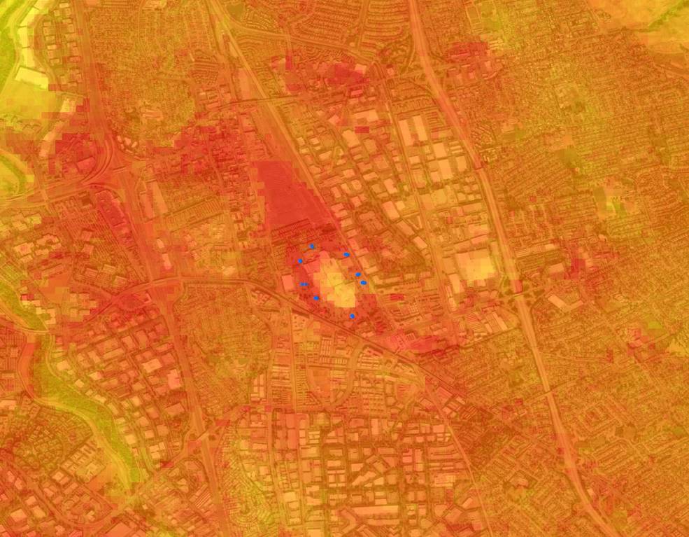
Landsat Data Informs New Projects Exploring Connections Between the Environment and COVID-19
Satellite images are helping to reveal how COVID-19 lockdown measures are impacting food security, urban surface heat, water quality and aquatic ecosystems, and more in NASA-funded studies.
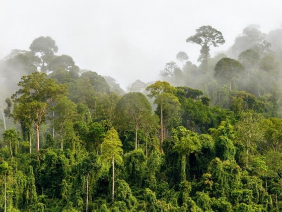
Pinpointing Tropical Forests with High Ecological ‘Quality’
Landsat and ICESat-2 satellite data have made it possible for scientists to develop maps showing the “quality” of tropical forests.
Satellite Imagery Helps Farmers Cut Water Use in Half
A young start-up is using satellite data to give California farmers better information about water, which can translate into water savings or bigger yield for the same input.
Landsat: Buttressing Knowledge About This Planet
A number of new data products with information derived from Landsat inputs have become available recently.
Warming Temperatures are Driving Arctic Greening
Using satellite images to track global tundra ecosystems over decades, a new study found the region has become greener, as warmer air and soil temperatures lead to increased plant growth.
Mapping Twenty Years Of Historical US Midwestern Corn And Soybean Information with Landsat
A new data set uses Landsat data to extend the Crop Data Layer back in time.
Transforming Water Management in the U.S. West with Satellite Data
A new web-based platform called OpenET will soon be putting satellite data in the hands of farmers, water managers and conservation groups to accelerate improvements and innovations in water management.
Antarctica: Cracks in the Ice
Combined satellite imagery have afforded researchers a new, accurate picture of the rapid development of damage in the shear zones on the ice shelves of Pine Island and Thwaites.
The Stuff of Trees: Three-Decades of Forest Biomass Measured Across Canada
A new study reports a net increase of 5.38 petagrams of forest biomass between 1984 and 2016; carbon-wise, that is equivalent to a train of loaded coal cars long enough to wrap itself around Earth nearly 34 times.
Landsat Data Informs New Projects Exploring Connections Between the Environment and COVID-19
Satellite images are helping to reveal how COVID-19 lockdown measures are impacting food security, urban surface heat, water quality and aquatic ecosystems, and more in NASA-funded studies.

Global Survey Using Landsat Shows Dramatic Growth of Glacial Lakes
Using 30 years of Landsat data, researchers have found that the volume of glacial lakes worldwide has increased by about 50% since 1990.
Satellite Imagery Helps Farmers Cut Water Use in Half
A young start-up is using satellite data to give California farmers better information about water, which can translate into water savings or bigger yield for the same input.
Landsat: Buttressing Knowledge About This Planet
A number of new data products with information derived from Landsat inputs have become available recently.
Warming Temperatures are Driving Arctic Greening
Using satellite images to track global tundra ecosystems over decades, a new study found the region has become greener, as warmer air and soil temperatures lead to increased plant growth.
Mapping Twenty Years Of Historical US Midwestern Corn And Soybean Information with Landsat
A new data set uses Landsat data to extend the Crop Data Layer back in time.
Transforming Water Management in the U.S. West with Satellite Data
A new web-based platform called OpenET will soon be putting satellite data in the hands of farmers, water managers and conservation groups to accelerate improvements and innovations in water management.
Antarctica: Cracks in the Ice
Combined satellite imagery have afforded researchers a new, accurate picture of the rapid development of damage in the shear zones on the ice shelves of Pine Island and Thwaites.
The Stuff of Trees: Three-Decades of Forest Biomass Measured Across Canada
A new study reports a net increase of 5.38 petagrams of forest biomass between 1984 and 2016; carbon-wise, that is equivalent to a train of loaded coal cars long enough to wrap itself around Earth nearly 34 times.
Landsat Data Informs New Projects Exploring Connections Between the Environment and COVID-19
Satellite images are helping to reveal how COVID-19 lockdown measures are impacting food security, urban surface heat, water quality and aquatic ecosystems, and more in NASA-funded studies.
Global Survey Using Landsat Shows Dramatic Growth of Glacial Lakes
Using 30 years of Landsat data, researchers have found that the volume of glacial lakes worldwide has increased by about 50% since 1990.
