
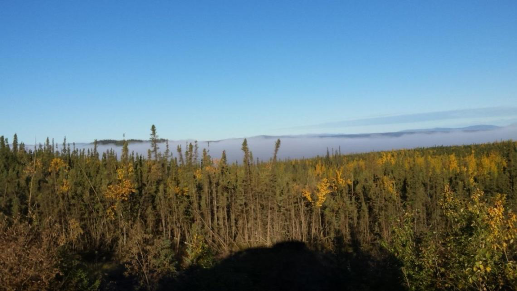
Calculating Forest Biomass Using LiDAR, Landsat 8, and Sentinel-2
SDSU post-doc Pedro Oliveira is integrating remote sensing data from airborne LiDAR and Landsat 8 and Sentinel-2 satellites to map the height of the Brazilian Amazon forest canopy.
Landsat, Sentinel Harmony Effort Shows Promising Results in Great Basin
New research from EROS on dryland phenology, is poised to aid land managers’ fight against invasive, fire-prone species that wreak havoc on native landscapes.
Putting Heads Together to Improve Atmospheric Corrections for Medium-Resolution Satellite Data
An international group is working together to find the best atmospheric correction techniques for Landsat 8 and the Copernicus Sentinel-2 satellite series.
Data Record for Tropical Forest Monitoring Extended with New Cloud-Detection Method
A new, highly accurate, automated way to detect clouds and their shadows from satellite images over unusually cloudy places.
Landsat 8 as a Tool for Monitoring Algal Blooms
When algae blanket a lake’s surface, loss of sunlight and—eventually—oxygen, smothers aquatic life.
New Study Provides the First Comprehensive, Long-term Look at Alaska’s Changing Ecosystems
This is the first study to document more than three decades of land and water changes across Alaska.
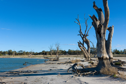
Rain Showers, Flowers, and Floods—Understanding How Vegetation Responds to Flooding and Drought in Australia’s Breadbasket
Using a quarter century of Landsat data, geospatial researchers have mapped and modeled how vegetation responds to water availability across the entire Murray-Darling Basin.
Supraglacial Lakes Are Not Destabilizing Greenland’s Ice Sheets, Yet
Using Landsat 8 satellite images from 2014 to 2016, researchers have discerned when the lakes on Greenland’s Petermann ice tongue formed, their movement, and changes in surface extent across time.
USGS Video: Landsat in Action—The Accuracy of Landsat with Jeff Masek
Landsat 9 Project Scientist Jeff Masek discusses the ways Landsat data is used and how important it is to have high quality data.
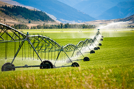
Landsat Imagery Sheds Light on Agricultural Water Use
Researchers armed with data from the Landsat Earth-observing satellites recently teamed up with Google to track water used for irrigation.
USGS Video: Landsat in Action—Studying Phenology with Patrick Hostert
Patrick Hostert from the University of Berlin discusses the value of Landsat’s long archive to studying phenology.
LGAC Milestone Reached
The 5 millionth scene received in support of the Landsat Global Archive Consolidation (LGAC) effort has been added into the USGS Landsat archive.
NASA Mapping Hurricane Damage to Everglades and Puerto Rico Forests
Last spring, NASA researchers flew over the Everglades and Puerto Rico to measure how mangroves and rainforests grow and evolve over time, then hurricanes Irma and Maria struck.
Successful Landsat 9 Ground System Review Held
Landsat 9 Ground System Preliminary Design Review a success.
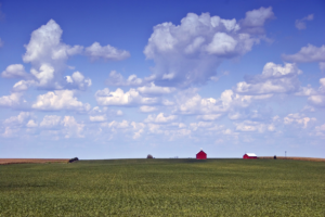
Satellites, Supercomputers, and Machine Learning Provide Real-Time Crop Type Data
Scientists have proven a new technique for distinguishing the corn and soybean crops using satellite data and the processing power of supercomputers.
Winter 2018 Landsat Science Team Presentations Available
Landsat Science Team presentations form the Feb. 2018 meeting are available.
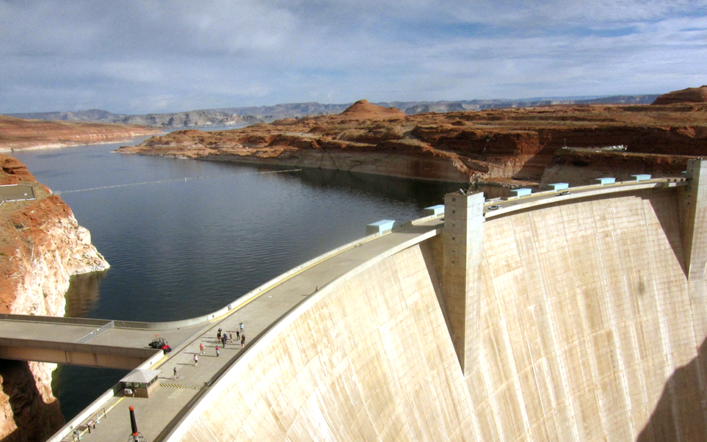
Land Under Water: Estimating Hydropower’s Land Use Impacts
A team of Norwegian-based researchers has developed an innovative way to describe how much land it takes to generate a kilowatt-hour of electricity from hydropower.
USGS Video: Landsat in Action—The Accuracy of Landsat with Jeff Masek
Landsat 9 Project Scientist Jeff Masek discusses the ways Landsat data is used and how important it is to have high quality data.
Landsat Imagery Sheds Light on Agricultural Water Use
Researchers armed with data from the Landsat Earth-observing satellites recently teamed up with Google to track water used for irrigation.
USGS Video: Landsat in Action—Studying Phenology with Patrick Hostert
Patrick Hostert from the University of Berlin discusses the value of Landsat’s long archive to studying phenology.
LGAC Milestone Reached
The 5 millionth scene received in support of the Landsat Global Archive Consolidation (LGAC) effort has been added into the USGS Landsat archive.
NASA Mapping Hurricane Damage to Everglades and Puerto Rico Forests
Last spring, NASA researchers flew over the Everglades and Puerto Rico to measure how mangroves and rainforests grow and evolve over time, then hurricanes Irma and Maria struck.
Successful Landsat 9 Ground System Review Held
Landsat 9 Ground System Preliminary Design Review a success.
Satellites, Supercomputers, and Machine Learning Provide Real-Time Crop Type Data
Scientists have proven a new technique for distinguishing the corn and soybean crops using satellite data and the processing power of supercomputers.
Winter 2018 Landsat Science Team Presentations Available
Landsat Science Team presentations form the Feb. 2018 meeting are available.
Land Under Water: Estimating Hydropower’s Land Use Impacts
A team of Norwegian-based researchers has developed an innovative way to describe how much land it takes to generate a kilowatt-hour of electricity from hydropower.
