
Fifteen Years of Open Data Allows Advancements in Landsat Use and Research
Opening the Landsat archive has benefited science and society.
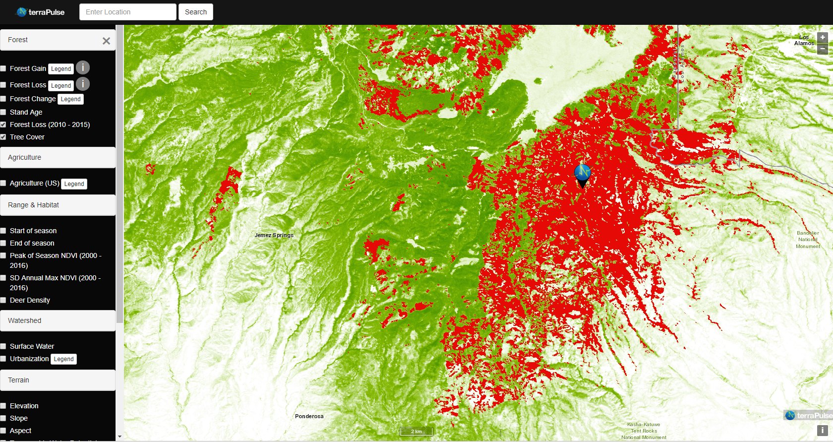
Taking the Pulse of Earth
Applying AI to Earth data—including Landsat—helps terraPulse reveal sustainable options for farming, reforestation, and land management.
Landsat: An Open Science Approach to Understanding Earth’s Changing Surface
Open science principles are being leveraged in a variety of NASA programs, including NeMO-Net, Landsat, and the SERVIR program, which are using artificial intelligence, satellite imagery, and machine learning to better understand and protect our planet’s ecosystems.
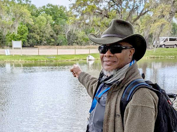
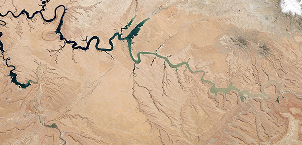
Robert Washington-Allen and the Next Frontier of Dryland Research
Washington-Allen is a longtime Landsat data user working towards drylands restoration and sustainability solutions.

Bidding Farewell to Virginia T. Norwood, the Mother of Landsat
Virginia T. Norwood, a founding figure in the field of satellite land imaging, died on Sunday, March 26, 2023, at age 96.

STELLA: A DIY Handheld Scientific Instrument
If you are looking for a do-it-yourself (DIY) handheld spectrometer, you need to meet STELLA. STELLA (Science and Technology Education for Land/Life Assessment) is a portable scientific instrument developed by
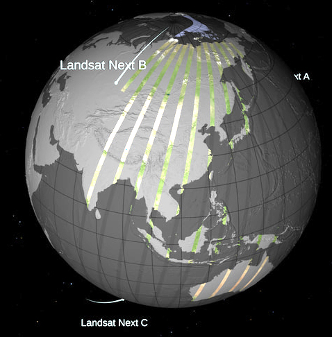
Released: Landsat Next Instrument Suite (LandIS) Draft Request for Proposal
The Landsat Next Instrument Suite Draft Request for Proposal is available for review via SAM.gov as of Monday, Feb. 13, 2023.
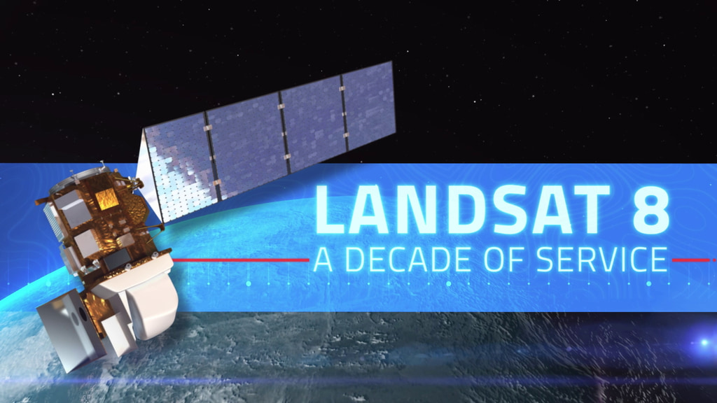
Landsat 8 – A Decade of Service
This February marks the 10th anniversary of the launch of Landsat 8, launched by NASA in 2013 and operated by the US Geological Survey.
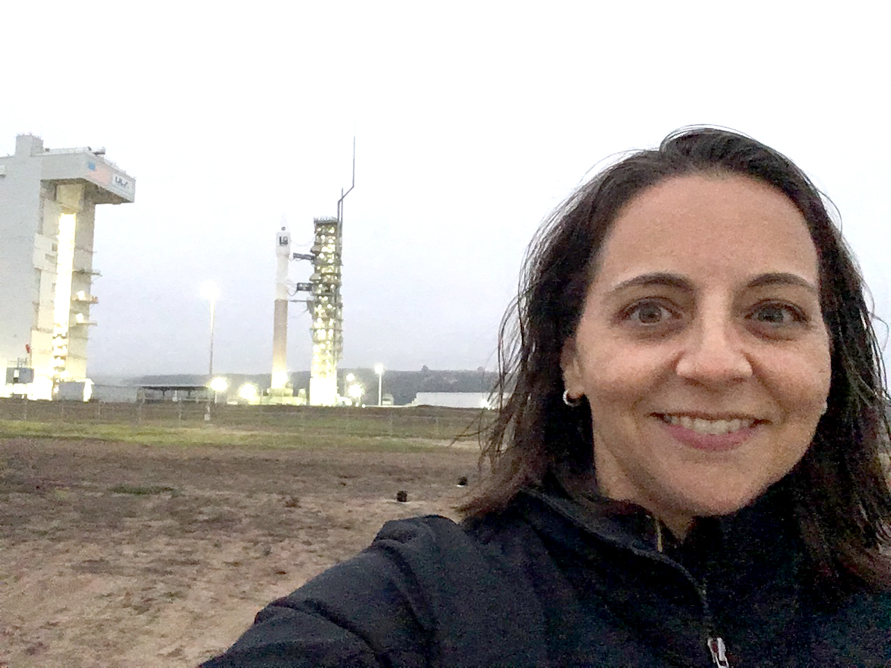
Meet Julia Barsi, Landsat Calibration Scientist
Julia Barsi calibrates instruments on Landsat satellites.
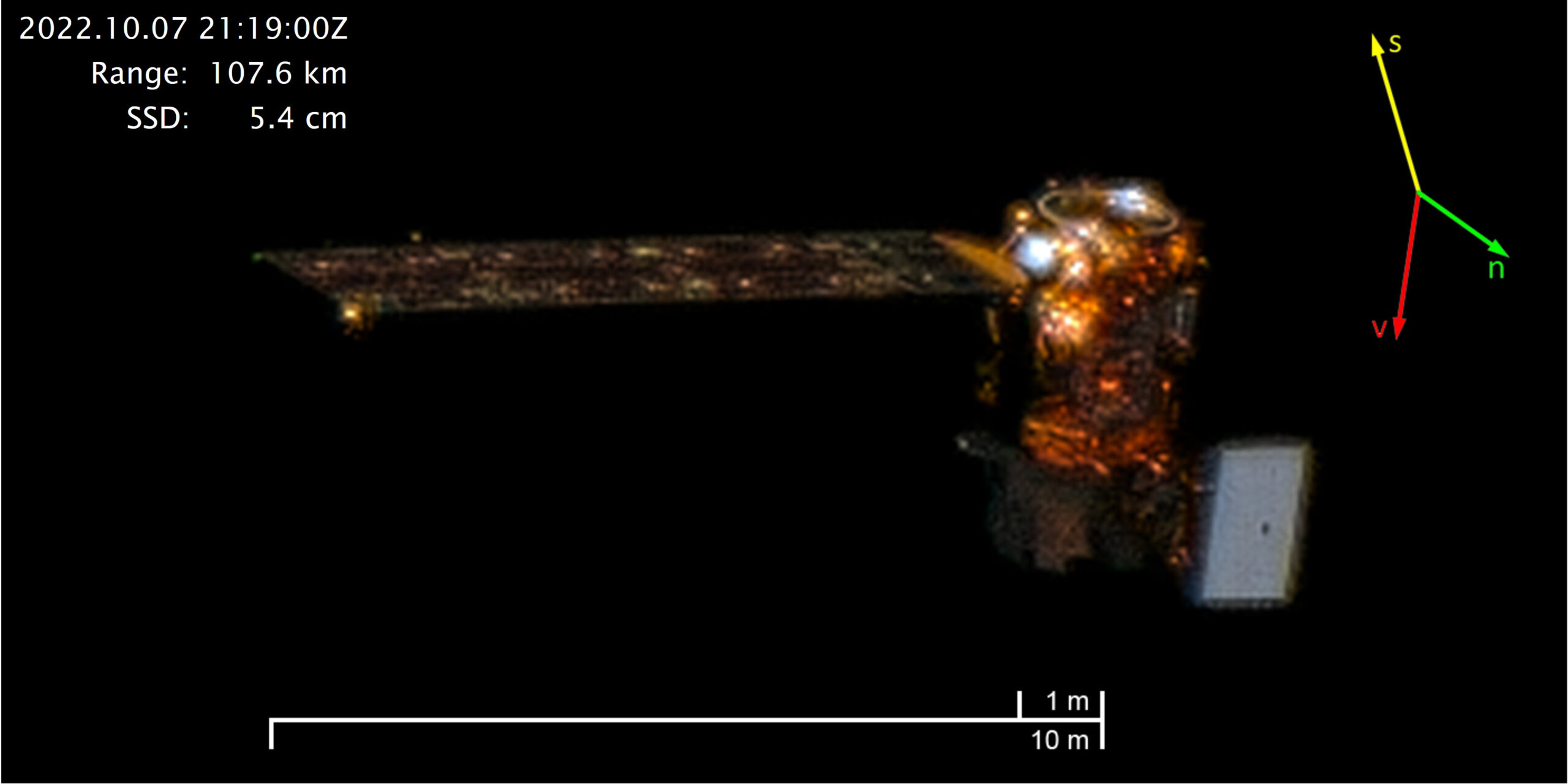
Satellite Sees Satellite: Landsat 8 in Orbit
On October 7, 2022, Maxar’s WorldView-3 satellite snapped a sequence of images showing Landsat 8 in orbit.
Fifteen Years of Open Data Allows Advancements in Landsat Use and Research
Opening the Landsat archive has benefited science and society.
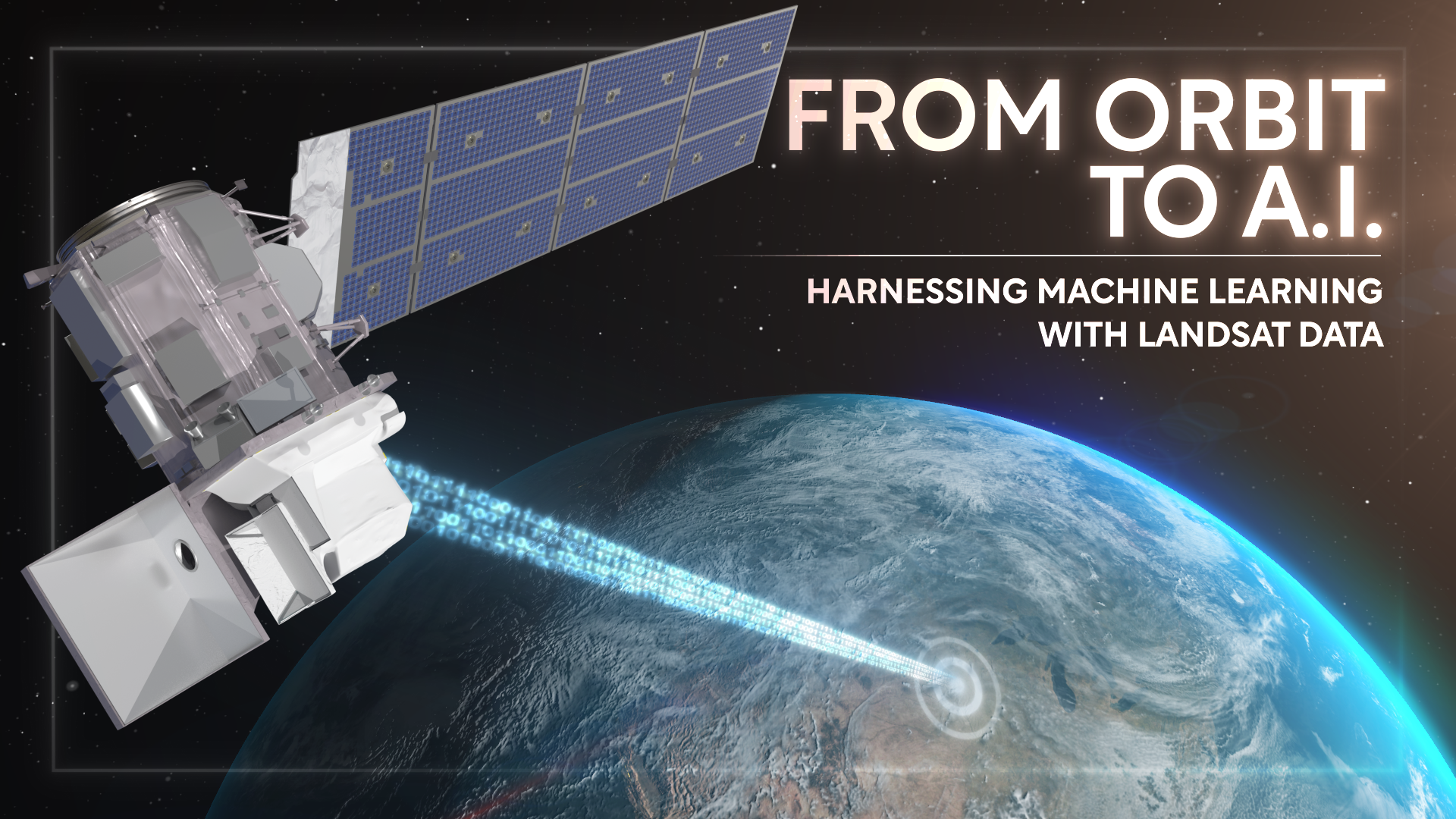
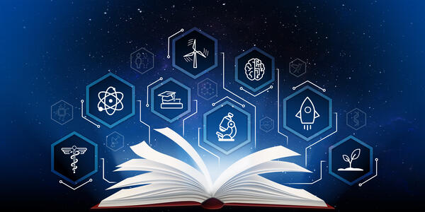
From Orbit to A.I.—Harnessing Machine Learning with Landsat Data
Over the past few years, machine learning techniques have been increasingly used to analyze the vast amount of data collected by the Landsat mission, which has been circling the globe for over 50 years.
Taking the Pulse of Earth
Applying AI to Earth data—including Landsat—helps terraPulse reveal sustainable options for farming, reforestation, and land management.
Landsat: An Open Science Approach to Understanding Earth’s Changing Surface
Open science principles are being leveraged in a variety of NASA programs, including NeMO-Net, Landsat, and the SERVIR program, which are using artificial intelligence, satellite imagery, and machine learning to better understand and protect our planet’s ecosystems.
NASA-Led Project Tracking Changes to Water, Ecosystems, Land Surface
Merging data from multiple satellites, OPERA can help government agencies, disaster responders, and the public access data about natural and human impacts to the land.
Robert Washington-Allen and the Next Frontier of Dryland Research
Washington-Allen is a longtime Landsat data user working towards drylands restoration and sustainability solutions.
Bidding Farewell to Virginia T. Norwood, the Mother of Landsat
Virginia T. Norwood, a founding figure in the field of satellite land imaging, died on Sunday, March 26, 2023, at age 96.
Meet Julia Barsi, Landsat Calibration Scientist
Julia Barsi calibrates instruments on Landsat satellites.
Satellite Sees Satellite: Landsat 8 in Orbit
On October 7, 2022, Maxar’s WorldView-3 satellite snapped a sequence of images showing Landsat 8 in orbit.
Fifteen Years of Open Data Allows Advancements in Landsat Use and Research
Opening the Landsat archive has benefited science and society.
From Orbit to A.I.—Harnessing Machine Learning with Landsat Data
Over the past few years, machine learning techniques have been increasingly used to analyze the vast amount of data collected by the Landsat mission, which has been circling the globe for over 50 years.
Taking the Pulse of Earth
Applying AI to Earth data—including Landsat—helps terraPulse reveal sustainable options for farming, reforestation, and land management.
Landsat: An Open Science Approach to Understanding Earth’s Changing Surface
Open science principles are being leveraged in a variety of NASA programs, including NeMO-Net, Landsat, and the SERVIR program, which are using artificial intelligence, satellite imagery, and machine learning to better understand and protect our planet’s ecosystems.
NASA-Led Project Tracking Changes to Water, Ecosystems, Land Surface
Merging data from multiple satellites, OPERA can help government agencies, disaster responders, and the public access data about natural and human impacts to the land.
Robert Washington-Allen and the Next Frontier of Dryland Research
Washington-Allen is a longtime Landsat data user working towards drylands restoration and sustainability solutions.
Bidding Farewell to Virginia T. Norwood, the Mother of Landsat
Virginia T. Norwood, a founding figure in the field of satellite land imaging, died on Sunday, March 26, 2023, at age 96.
