
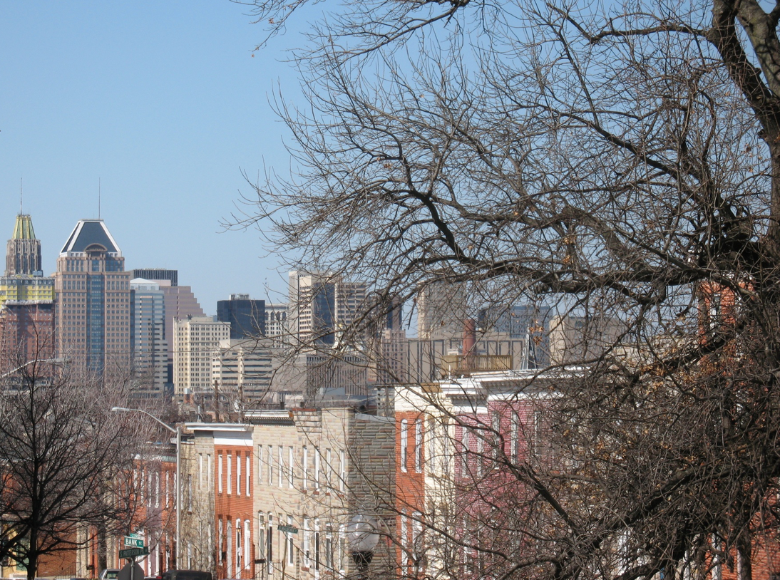
A new investigative report published by NPR on Sept. 3, 2019 has found that it’s hotter in cities’ low income areas.
While the urban heat island effect has been well established, this investigation looked at the spatial pattern of urban temperatures compared to neighborhood income levels.
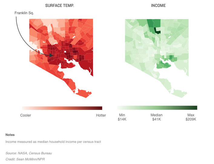
NPR reporters used thermal data from the NASA/U.S. Geological Survey’s Landsat 8 satellite together with income information from the U.S. Census Bureau to analyze the temperature of the 100 most populous U.S. cities. After calculating the median temperature for each urban census track, a correlation between heat and poverty emerged.
NPR has made all data used in this investigation and its open-source computer program that downloads city census tract data publicly available.
Read or listen to the full article:
As Rising Heat Bakes U.S. Cities, The Poor Often Feel It Most, NPR


