Source: USGS
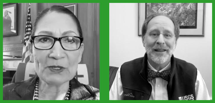
On Jan. 5, 2024, U.S. Secretary of the Interior, Deb Haaland, spoke with USGS Director David Applegate during an Instagram Live interview titled “Guided By Science.” Here, we share the portion of their discussion that focused on the joint USGS/NASA Landsat Program.

/// TRANSCRIPT ///
Department of the Interior Secretary Deb Haaland: We know that it’s not just the climate that is changing rapidly. Our landscapes are also changing right before our eyes.
Would you tell us how the USGS’s Landsat Program plays a role in tracking these dramatic changes?
USGS Director David Applegate: Well, there is no more powerful tool for tracking land change through time than the Landsat series of satellites, and this has been really an amazing partnership for now over 50 years with NASA, as well as with a range of international partners.
This was started out as sort of a dividend from the Apollo program. We were taking all of these images of the Moon and so the Secretary of the Interior, at the time said, well, why can’t we do that with our own planet?
And so for over half a century, that’s exactly what Landsat has been doing, creating imagery sort of at a moderate resolution, both the kind of image that you would see with your eyes, but also other spectral bands that are helpful for being able to look at things like vegetation or water resources.
Right now, we’re up to Landsat 8 and 9, both of them taking it, collecting data such that every eight days we have a complete picture of what the land surface of the Earth is doing.
And this is a really exciting and powerful tool, and all of the data from it is made freely and openly accessible. And so that’s enabled just an absolute explosion in the kinds of applications that people put this data to.
Just one example is with respect to wildfires.
And of course, this is a key element we think about with changing climate and how that’s changing, when you talk about wildfire season, how we think about the wildfire year, the Landsat data is very valuable for understanding vegetation patterns and understanding fuel loading.
So that’s really key for land managers as they think about the management to do in that pre-fire period. And then when fire does come, the Landsat data is also essential for being able to understand the burn severity and that’s then used by the land management agencies for their burned area emergency response teams where they can focus their mitigation efforts, thinking about, you know, when the rains come, you have the risk of flash floods, pre-flows. And so we’re very involved in the assessment work on that.
Again, Landsat coming in being just a very valuable tool and there are just so many uses. In fact, Landsat often referred to as the Swiss Army knife of satellite. So, I think that’s a very apt district description.
Department of the Interior Secretary Deb Haaland: That’s it’s absolutely amazing. Thank you so much for explaining all that, Dave.
So you mentioned the international partnerships for Landsat Next. And in December, Vice President Kamala Harris convened the Biden-Harris administration’s National Science Council, where the Department announced the launch of the Landsat 2030 International Partnership Initiative, which sounds really super cool.
Can you share why they will be so important in our work moving forward?
USGS Director David Applegate: Absolutely. And it was really exciting to get to attend that Space Council meeting with the Vice President there. And it was wonderful that the Department announced this this partnership, which is very much about the future plans of Landsat. So, you know, we have our wonderful 50-year anniversary that we celebrated, but we’re already looking to the next 50 years. And really since the start, international partnerships have been absolutely essential. Landsat generates a huge amount of data, and so ground stations around the world are key to being able to pull that data down. And then it’s shared with us.
And for archiving and making available to to the world and increasingly through the cloud. But that also is a benefit then to those countries that have the ground stations and they have all of the different applications that they’re putting the data towards.
So now as we’re looking ahead to the next generation of Landsat, which we are very creatively calling Landsat Next, we’re already working, NASA has the responsibility for building and then launching the satellite.
We focus on the ground stations that are needed to pull the data down and then to be able to analyze and put it to use.
So, this these international partnerships are going to be absolutely essential going forward because the next generation of Landsat will have a lot more capability than the current generation. And that means a lot more data coming down. And so, there’s going to be a need for enhanced capabilities there.
And so we’re already have starting our discussions with with international partners. And in fact, behind me is a Landsat image that’s from the great Sandy Desert in Australia.
And that’s really appropriate because Australia has been one of our great international partners since the start of Landsat, and we’re very much looking forward to continuing that partnership going forward.
Department of the Interior Secretary Deb Haaland: Yes, I’ve seen some of those images from Landsat and they truly are works of art.
We have a beautiful, beautiful planet and I know I’m so grateful to all of you scientists are working hard to make sure that we have a planet to pass on, a beautiful planet to pass on to future generations.


