News Archives
Landsat-Related Webinar Offered by NASA ARSET
NASA ARSET is offering an advanced webinar that teaches you how to perform land cover classifications with Landsat data.
![wetland](https://landsat.gsfc.nasa.gov/wp-content/uploads/2017/01/20170112-nu1-1.png)
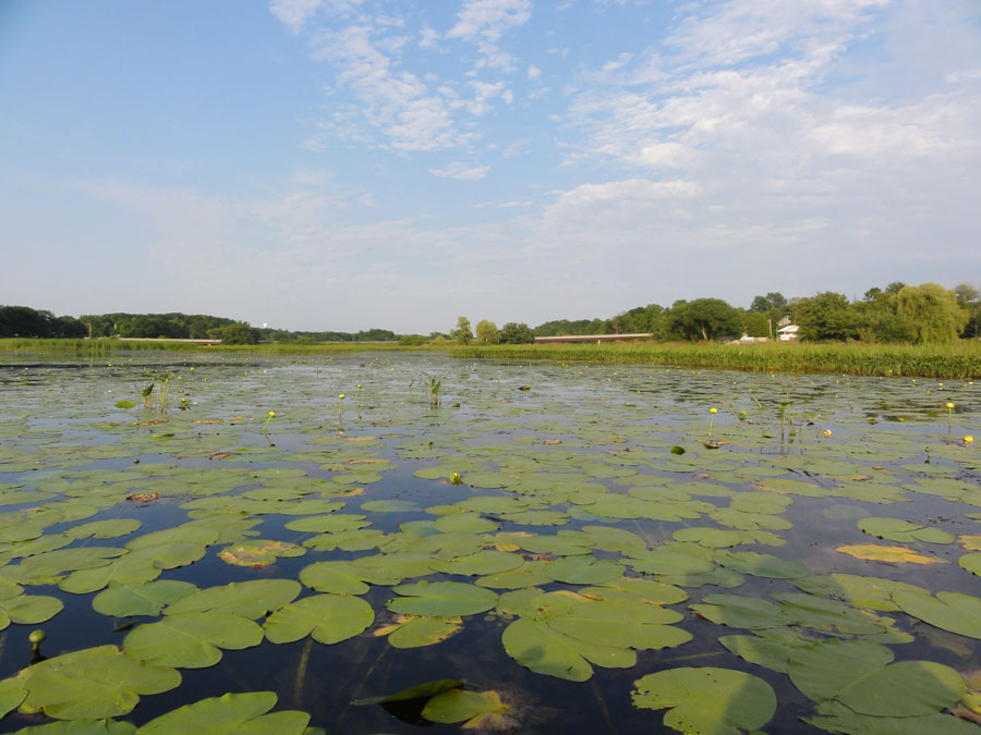
Where the Wetlands Are
Documenting and protecting wetlands has become crucial to the eight states and two Canadian provinces thronging the Great Lakes.
LANDFIRE 2014 Update Completed for CONUS
The LANDFIRE 2014 Update for the conterminous United States has been completed, with Alaska and Hawaii soon to follow.
Using Landsat to Take the Long View on Greenland's Glaciers
A new Landsat-based data portal enables scientists to study in unprecedented detail how fast outlet glaciers such as this one move and change over space and time.
Landsat Images Provided to the Disaster Charter, Dec. 2016
You can think of the Charter as a one-stop-shop for impact maps—an essential resource, since in many cases satellite data are the only practical method to assess current ground conditions after a disaster.
Google Earth Has Updated Its Landsat-based Timelapse
Google Earth’s Timelapse gets an update.
Landsat Provides Global View of Speed of Ice
Scientists are providing a near-real-time view of every large glacier and ice sheet on Earth with Landsat 8.
Mapping Dissolved Organic Matter in Tropical Inland Waters with Landsat 8
Using Landsat 8 to map the colored dissolved organic matter of inland tropical waters.
News Archives
A Bounty of New Lakes on the Tibetan Plateau
The number of lakes and water surface area on the Tibetan Plateau has changed much faster than expected.
A Spatial Toolbox to Help Deal with Flooding in Vietnam
A new collaborative platform has been developed to help Vietnam plan for and respond to flooding.
Mapping Historic Floods Around the World
Developing the largest database of spatial extents for historic floods.
The Shifting Boundary Between Grounded Continental Ice and the Ocean in West Antarctica
Using Landsat to closely monitor changes in ‘grounding line’ position in West Antarctica.
What Satellites Can Tell Us About How Animals Will Fare in a Changing Climate
From the Arctic to the Mojave Desert, terrestrial and marine habitats are quickly changing. Satellites are particularly well-suited to observe habitat transformation and help scientists forecast what animals might do next.
How Fire Severity Impacts Soil Microbes
Finding out how fire severity affects soil microbes.
Glacier Behavior in High Mountain Asia
How do glaciers respond to present climate change, in particular how have ice flows evolved over the last few decades?
The Mechanics of Glacier Motion
Using Landsat 8 to document glacier velocity patterns on a mountain-range-wide scale.
How Louisiana's Coastal Marshes are Responding to Climate Change
Louisiana’s coastal marshes are responding to climate change.