
Meet the Landsat 9 Team: Matt Johnson
This is the first in a series of five features introducing members of the Landsat 9 team.

This is the first in a series of five features introducing members of the Landsat 9 team.

The Landsat 9 project has passed its final major lifecycle approval gateway.
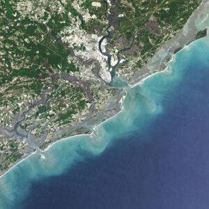
For over 30 years, Dr. Beach, aka Dr. Stephen Leatherman, a professor and coast geomorphologist at Florida International University, has created a Top 10 Beach list based on criteria including water and sand quality, safety, and management. You can find his 2021 picks here and see how Landsat views them as well.
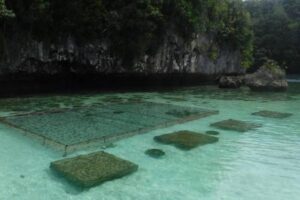
In Micronesia, the nation of Palau is building sustainable aquaculture farms in the ocean with the help of satellites.
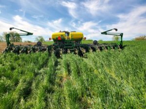
Soil is the foundation of our food systems, and sustainable farming depends upon healthy soil, which has impacts far beyond the field on air, water and climate.

For five decades, we have relied on Landsat’s high-quality, science-quality observations to understand and protect our home planet.
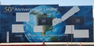
A mural celebrating Landsat’s 50 year history is being painted in Lompoc, California.

Dwyer was an explorer of new technologies and of data. Well-versed on both the science and system development sides of remote sensing, he was a natural fit at EROS.
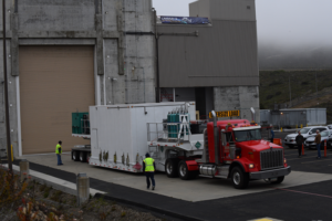
The Landsat 9 satellite has arrived at the VSFB on the central coast of California.
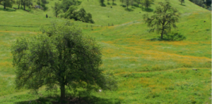
California’s blue oak woodlands have decreased by more than 1,200 square kilometers.
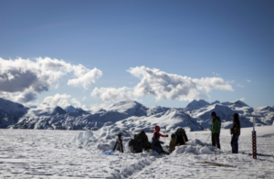
Mountaintop glacier ice in the tropics of all four hemispheres covers significantly less area than it did just 50 years ago.
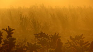
Landsat data stretching back 40 years show that vegetation loss is most stark in desert ecosystems already on edge of habitability.

‘Green tides’ of algae have wreaked havoc across the coastlines of Brittany, France, for half a century due to high levels of agricultural runoff. With efforts to reduce these underway, a new technique using over three decades of satellite images highlights the extent of the continuing problem.

Putting NASA and USGS satellite information at farmers’ fingertips leads to less water use and better crop yields in South Asia.
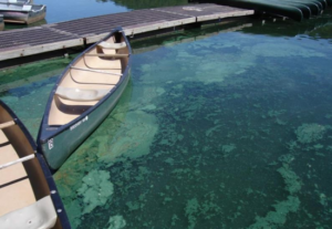
Harmful algal blooms pose a health risk to fish and other wildlife as well as humans; satellites, including Landsat, are helping public health officials keep people safe.
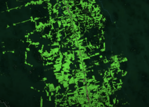
Scientists use Landsat to track changing patterns of deforestation that tells them how Amazonian agricultural practices have changed, from small family holdings to massive ranching operations.

Top honors were bestowed upon Virginia Norwood in recognition of her far-reaching impact on the field of remote sensing.

The Landsat 9 satellite has successfully completed its most strenuous environmental test leading up to launch.
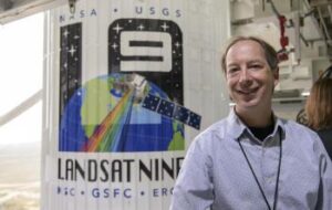
The Harmonized Landsat Sentinel-2 (HLS) project offers daily, 30-meter global land surface data products to facilitate a wide range of terrestrial Earth science research.
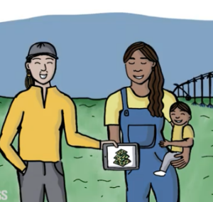
During the month of March, as we collectively celebrate Women History’s Month, we want to share a fantastic trio of user case study videos published by the U.S. Geological Survey.
Justin Braaten is a code wizard, helping everyone from wildlife ecologists to machine learning experts more easily use Landsat.
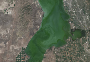
Landsat helps water resource managers know where to look for dangerous algal blooms in Utah lakes.
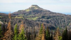
More than two decades worth of Landsat satellite imagery was used to quantify how beetle outbreaks have impacted high-elevations forests in Colorado, southern Wyoming, and northern New Mexico.
The Liberian government, with the help of NASA and Conservation International, is using Landsat and GEDI data to estimate the country’s natural capital.
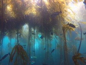
Most of Northern California’s kelp forest ecosystem is gone, replaced by widespread ‘urchin barrens’ that may persist long into the future, according to a new study.
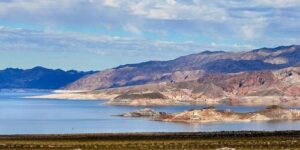
Lidar measurements of surface water level combined with Landsat-based surface water maps have enabled the first quantification of how humans impact the water cycle.
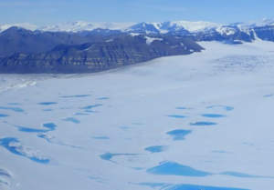
Antarctica’s George VI Ice Shelf experienced record melting during the 2019-2020 summer season.
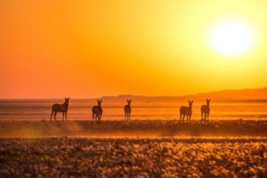
Vegetation cover along the Kuiseb River in the Namib Desert has increased over the last 35 years, Landsat has helped show.
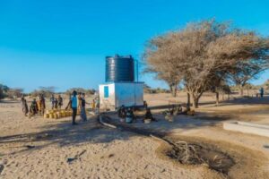
The SERVIR team has developed models for groundwater demand based on Earth observations for parameters like rainfall and surface water from satellite missions.
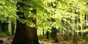
A new method, fusing data from many sources, has been developed for quantifying forests’ role as both carbon sink and carbon source.

Australia’s natural resource regulator uses drones and satellite imagery to monitor water use and compliance with their water laws across New South Wales to ensure our water resources are protected for generations to come.
UtahView’s Ellie McGinty has created a Google Earth Web Map showcasing Landsat’s history.
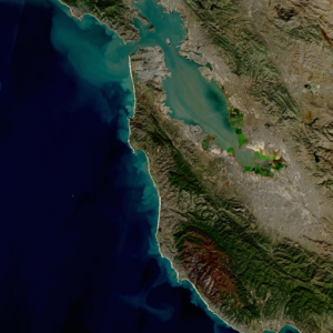
The Harmonized Landsat Sentinel-2 dataset has been provisionally released. Come explore Landsat 8 and Sentinel-2 data… together.