STELLA Spring Webinar: April 15, 2024
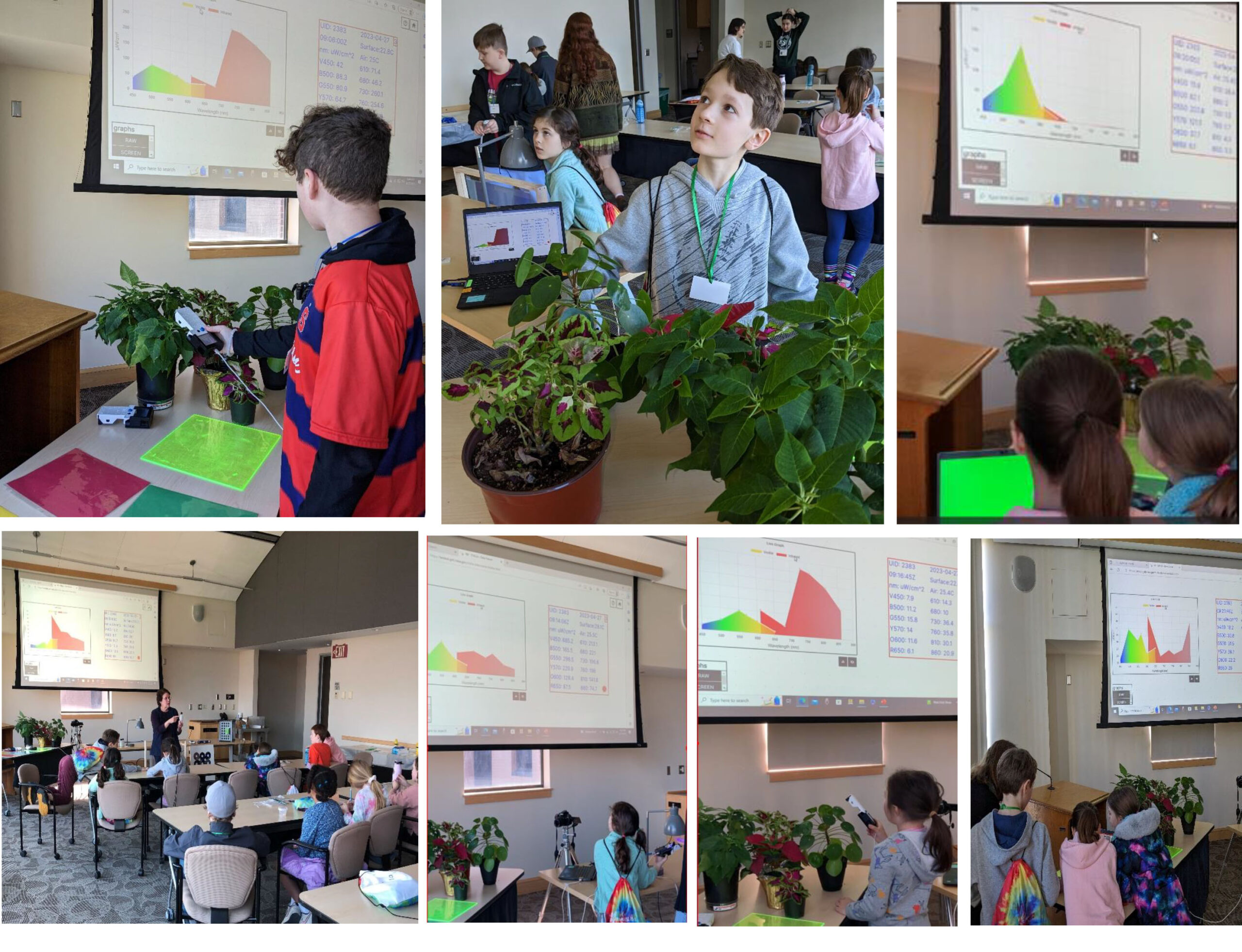
STELLA users will talk about their experiences using the DIY spectrometer during this webinar. Panelists include Bianca Cilento (RIT), Karen Karker (SUNY), and Peder Nelson (OSU and NASA GLOBE Observer).

STELLA users will talk about their experiences using the DIY spectrometer during this webinar. Panelists include Bianca Cilento (RIT), Karen Karker (SUNY), and Peder Nelson (OSU and NASA GLOBE Observer).
I use Landsat data alongside other satellite and field data to map where and when crops like wheat are growing, to analyze different management practices including when crops are planted and harvested, to assess crop health and to forecast end of season yields.
We’ve processed more than 224,000 Landsat images of the boreal forest, from 1984 through 2020, all to understand changes in tree-cover extent.
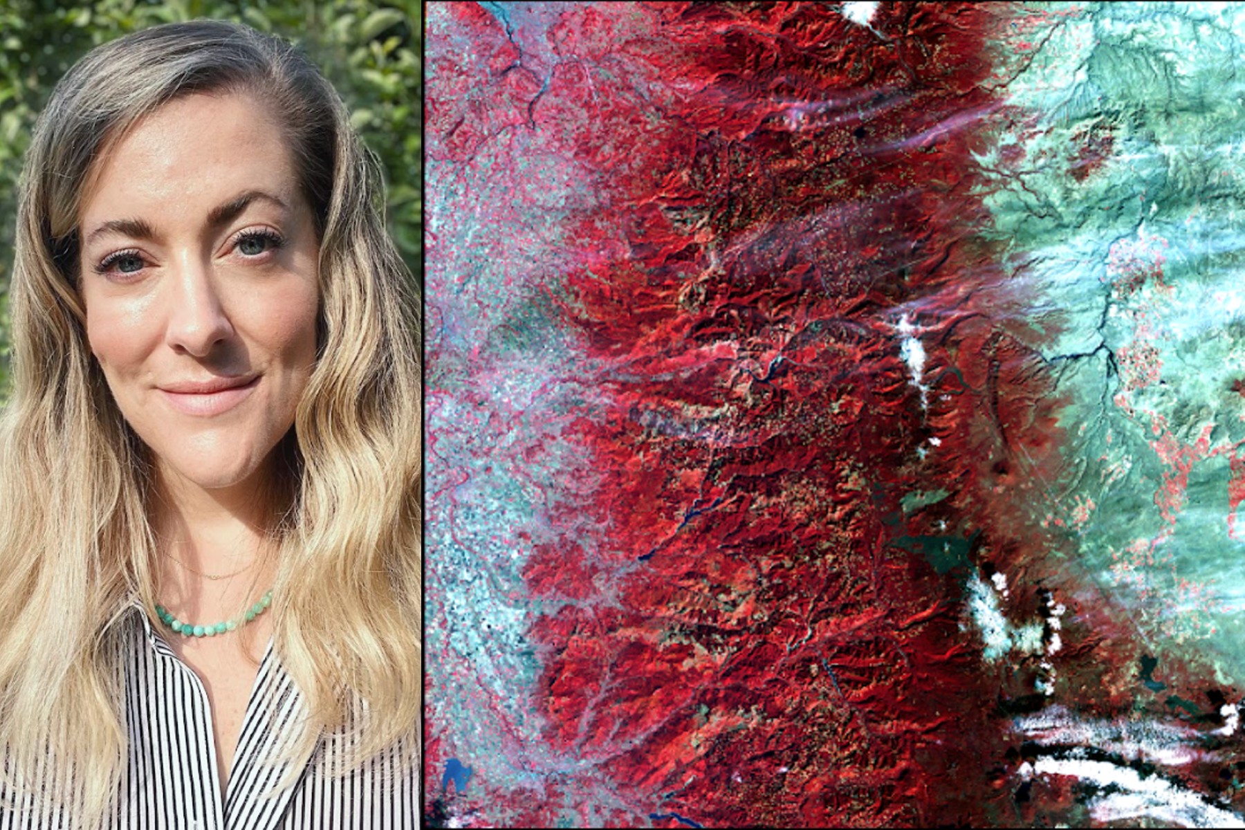
In my Ph.D. research at McGill University in Canada, I used Landsat data to map fire progressions for Canadian wildfires.
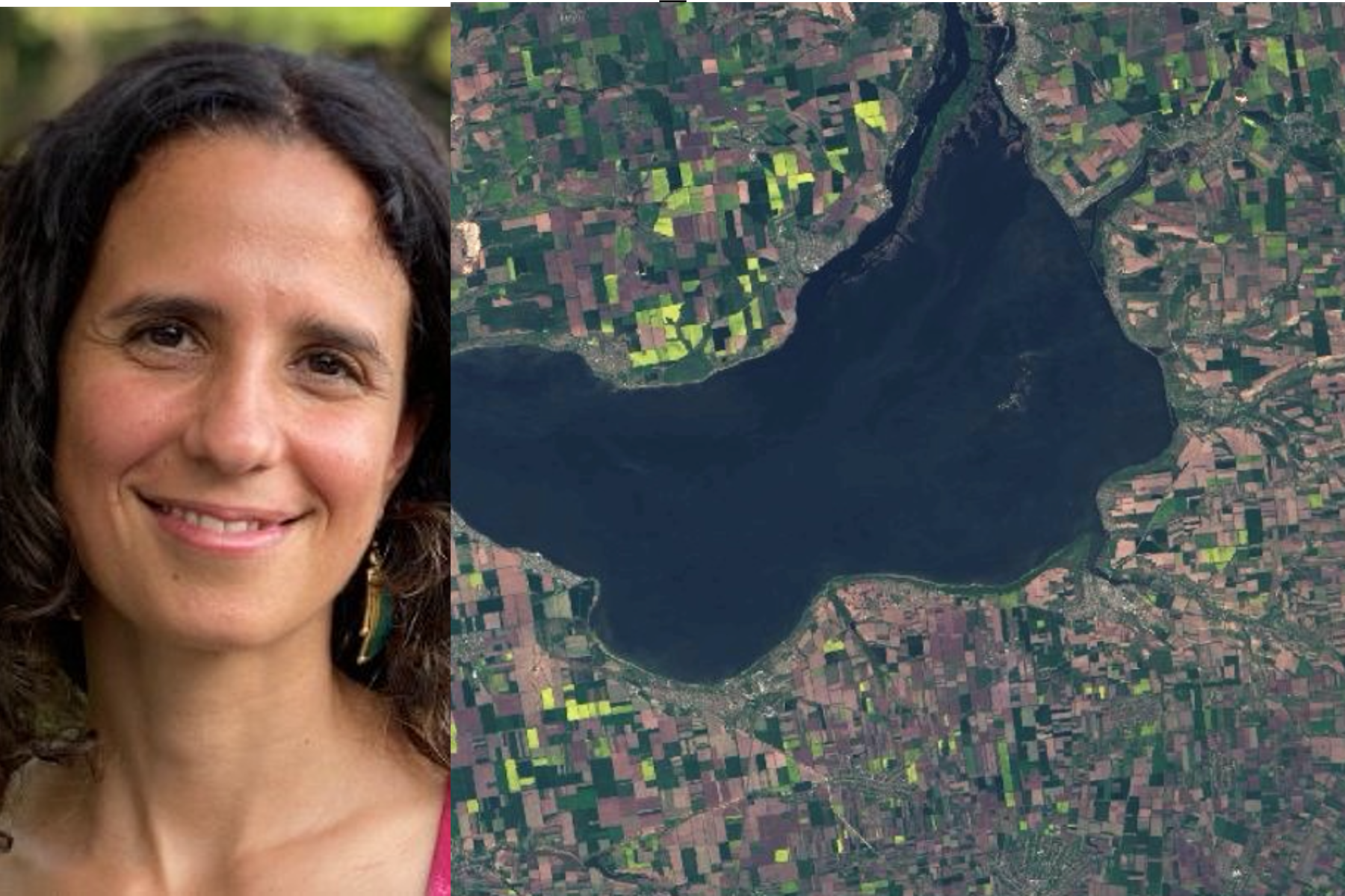
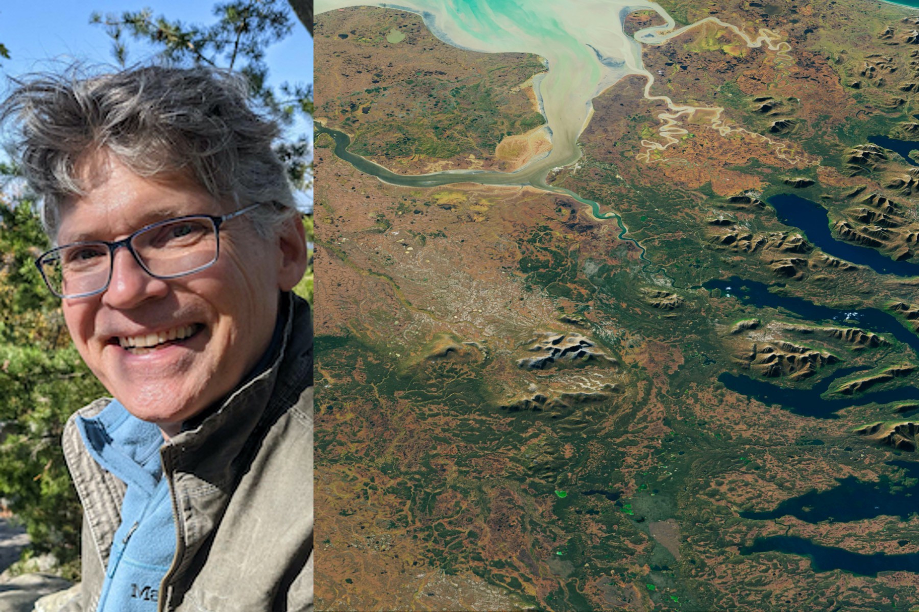
I use Landsat to explore wetland and aquatic ecosystem dynamics over time, studying how they may vary in a changing climate. Biotic and abiotic, everything on Earth has its own connection.
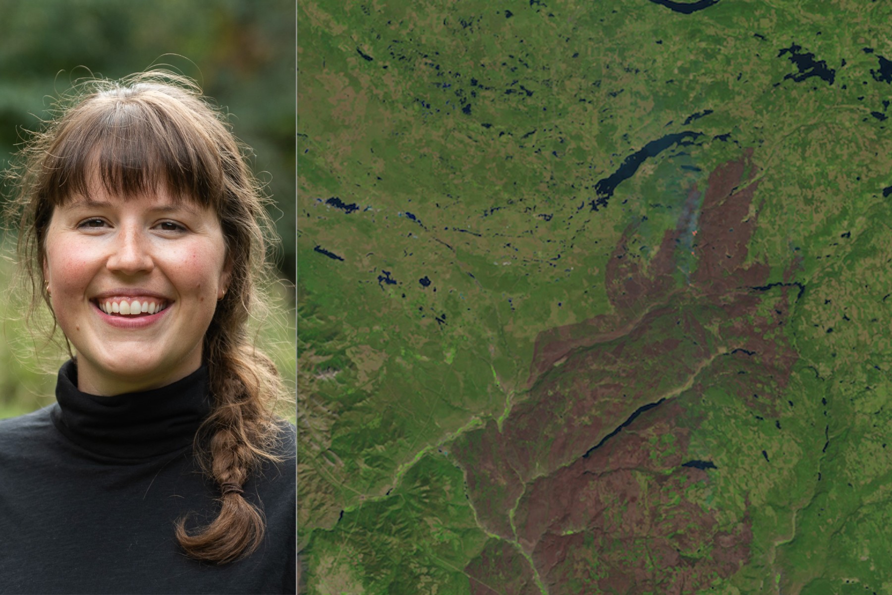
I use Landsat data as part of a joint U.S. Department of Agriculture/NASA effort to inventory all forest lands in interior Alaska.
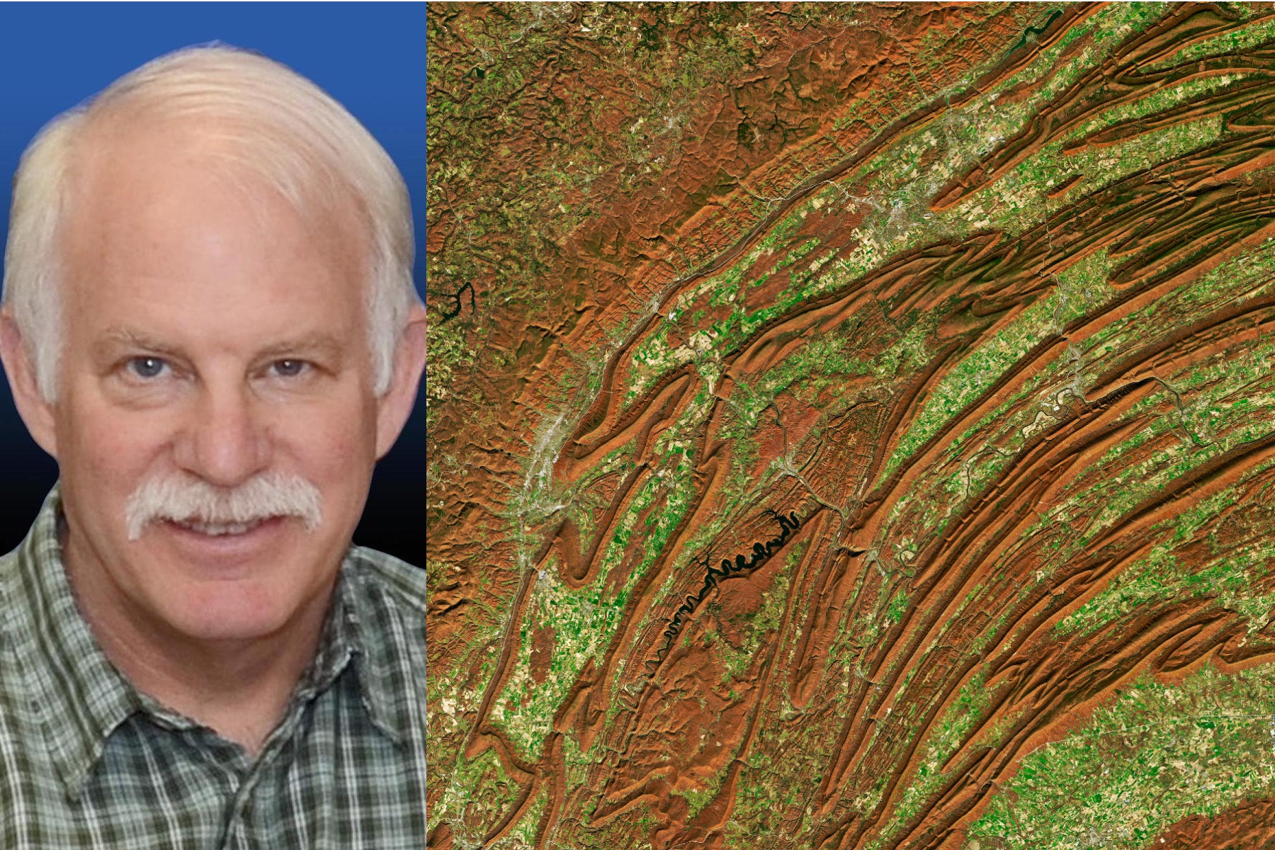
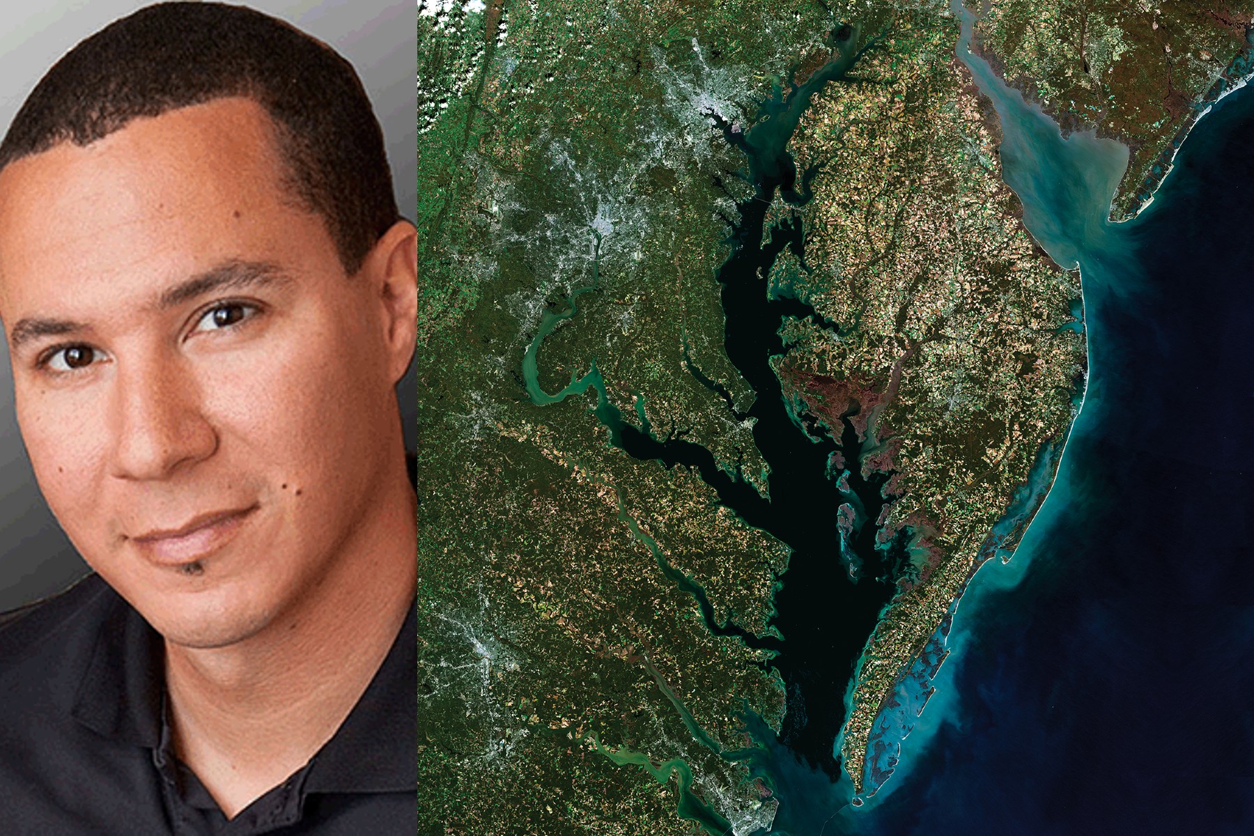
I worked at Goddard Space Flight Center for 43 years. A great deal of my career was spent engaged in the Landsat program.
Launched September 27, Landsat 9 will provide a high-quality and reliable stream of land imaging data for the next 10-plus years.

Do you design interactive media? Consider interning with the Landsat outreach team.
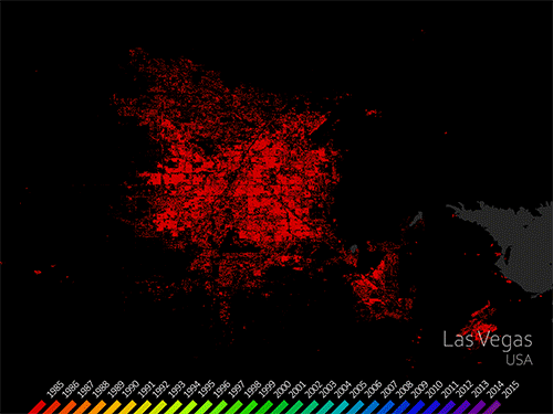
The World Settlement Footprint is the world’s most comprehensive dataset on human settlement.
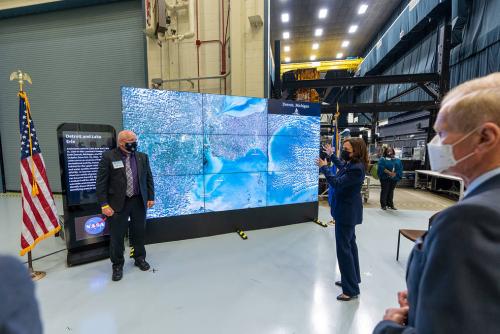
Landsat 9’s first light images provide a preview of how the mission will help people manage vital natural resources and understand the impacts of climate change.
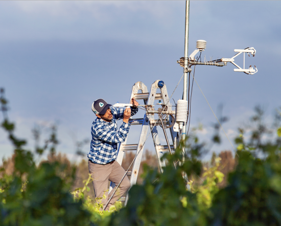
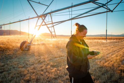
Data from Landsat powers OpenET, a new web-based platform that puts water use information for 17 western United States into the hands of farmers, water managers and conservation groups.

Kustas’ research informed the new OpenET app that uses Landsat thermal data as a key data input.
NASA will hold a virtual media briefing at 1:30 p.m. EDT Thursday, Oct. 21, to share a powerful, new, web-based platform to help those who rely on water resources across the drought-stricken western U.S.
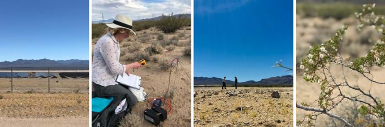
Using Landsat, scientists have discovered for the first time that large scale solar parks have a cooling effect on the land surrounding them.
Field work conducted in northern Alaska is being used in concert with the Landsat satellite data record in an effort to better understand the impacts of climate change on the Arctic.
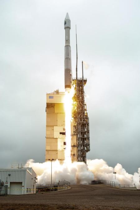
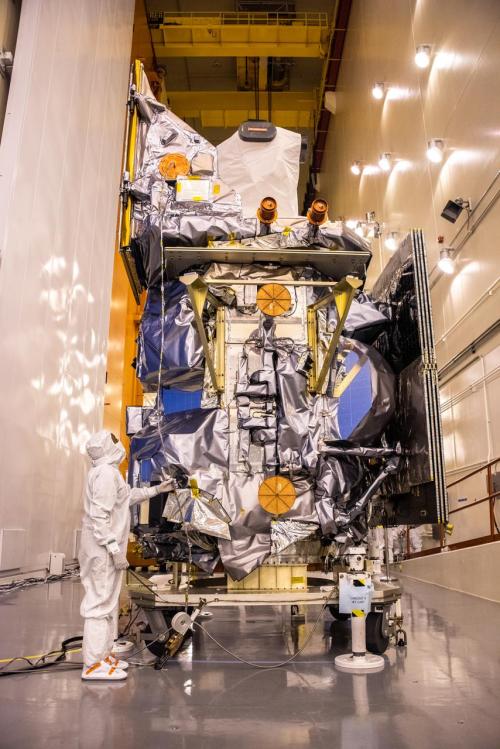
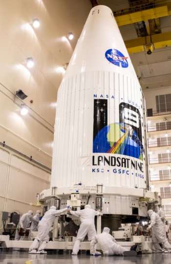
Landsat 9 successfully launched on Monday, Sept 27, 2021 at 11:12 a.m. PDT and is now proceeding smoothly and accordingly through its scheduled on-orbit checkout period.
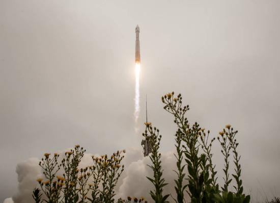
Landsat 9 successfully launched at 2:12 p.m. EDT Monday from Vandenberg Space Force Base in California.
by Jason Costa, Kennedy Space Center, Launch Services Program September 27, 2021 • After a United Launch Alliance Atlas V rocket successfully carried the Landsat 9 spacecraft into orbit from
Starting on Sunday, Sept. 19, 2021, a number of local Landsat-focused events will be taking place. From geocaching to family fun nights, from science cafe talks to women in STEM socials, there’s something for you to do during launch week.
by Jim Cawley, NASA’s Kennedy Space Center September 22, 2021 • Landsat 9 is targeted for launch no earlier than Sept. 27, 2021, on a United Launch Alliance Atlas V
Adventurers, explorers, and satellite lovers alike descended on Lompoc, California, Sunday, Sept. 19 to kick-off Southern California’s first GeoTour: The History of Landsat in Lompoc.
NASA will provide coverage of the upcoming prelaunch and launch activities for the NASA/USGS Landsat 9 satellite.
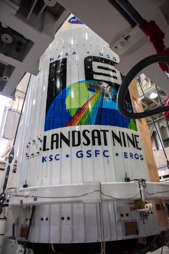
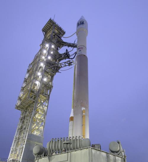
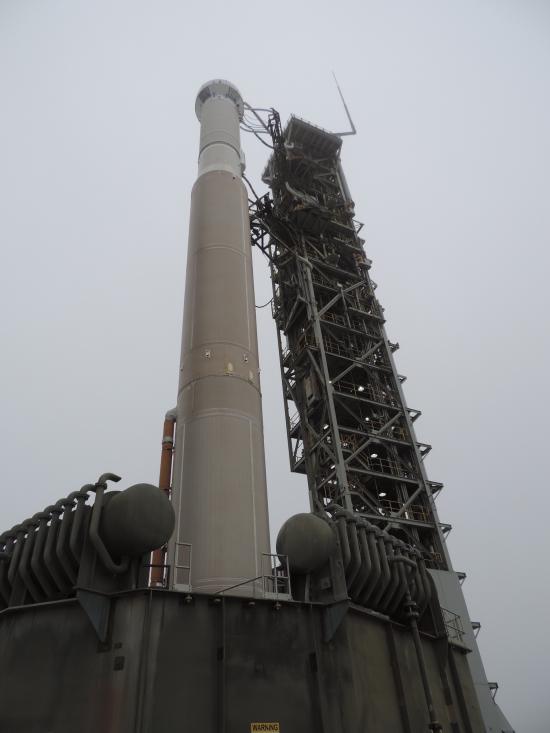
Landsat 9, now scheduled for launch on Monday, Sept. 27, is safely encapsulated in its fairing and mated to the launch vehicle in preparation for launch.
The Landsat 9 launch is now scheduled for no earlier than Monday, Sept. 27, 2021.
Remote sensing measurements using Landsat can help assess the effectiveness of various restoration interventions.
A new analysis of protected forests worldwide finds that protected forests are unlikely to be cut down when they are surrounded by intact forests.
The Wet Dress Rehearsal enabled engineers to evaluate how the Landsat 9 rocket and ground systems behave prior to launch.
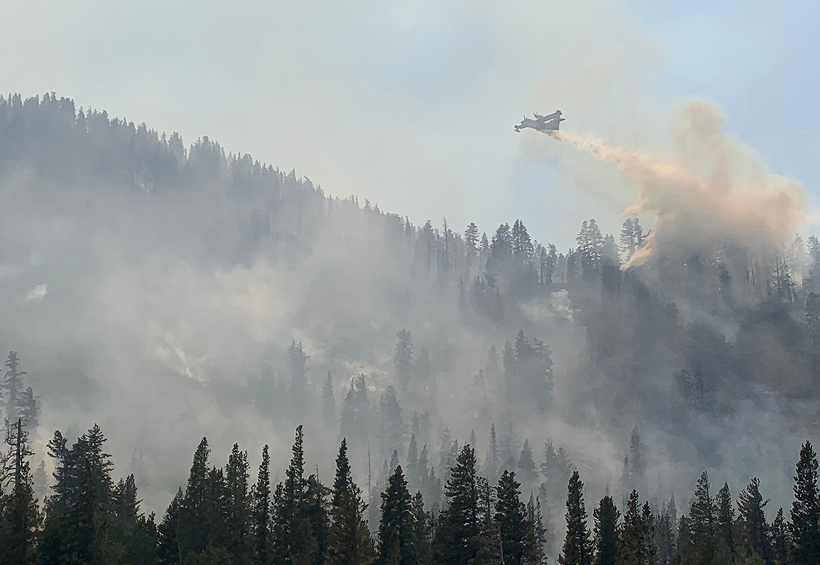
Wildfires in the western United States have been spreading to higher elevations over the past few decades due to warmer and drier conditions that are clearly linked to climate change.

Come along on a “roadtrip” through the decades to see how the technology on Landsat has evolved with the times to provide an unbroken data record.
The Landsat 9 launch is targeted for no earlier than Thursday, Sept. 23, 2021.The media briefing will air live on NASA TV, the NASA app, and the agency’s website.
Current pandemic demands for medical liquid oxygen have caused delivery delays of needed liquid nitrogen to Vandenberg, impacting the Landsat 9 launch date.
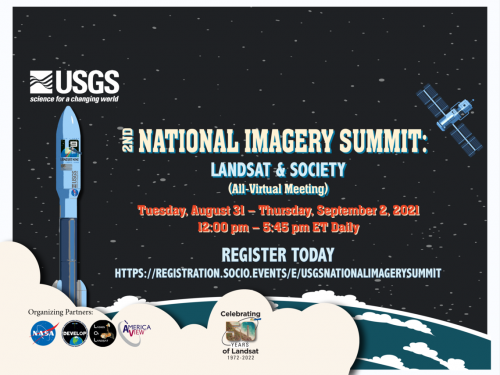
The free, virtual 2nd USGS National Imagery Summit is being held from Aug. 31–Sept. 2.
