
Presentation Title
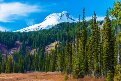
An Integrated, Observation-based System to Monitor Aboveground Forest Carbon Dynamics in Washington, Oregon, and California
What are the major findings of this research?
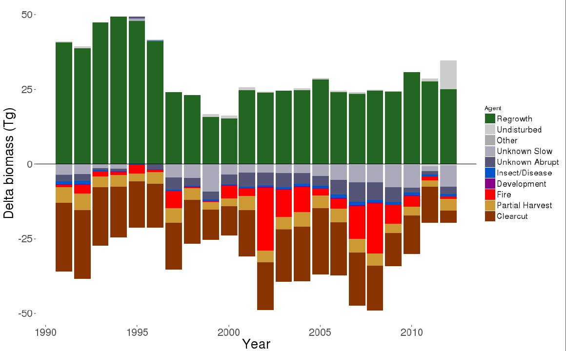
Anthropogenic factors (clearcuts, partial harvests) dominate the aboveground, live forest carbon story in Washington, Oregon and California. Fires and insects outbreaks cover large areas, but cause less carbon loss.
What are the implications of your findings?
Good news: If we want to control carbon loss in forests, we can do it. Bad news: It’s up to us to do it.
What insight did you gain from Landsat that would have been impossible to glean otherwise?
Landsat is fundamental to the work. Capturing yearly change is essentially to all of our findings.
Do you plan to extend your empirical monitoring system past 2010 in the future?
Yes, we are working with the State of California to extend this to 2016.
How does (or could) this work help the USDA with their forest inventory work?
We hope this will complement FIA yearly estimates to better capture disturbance processes. We also hope to use it to discuss how to better sample immediate-post-disturbance environments.
Co-authors:
Joseph Hughes
Oregon State University
Neeti Neeti
TERI University
Zhiqiang Yang
Oregon State University
Matt Gregory
Oregon State University
Heather Roberts
Oregon State University
Van R Kane
University of Washington
Scott L Powell
Montana State University
Janet Ohmann
Oregon State University
This work was made possible by a USDA NIFA Grant (Grant: 2011-67003-20458) and NASA CMS (Grant number NNX12AP76G).
Anyone can freely download Landsat data from the USGS EarthExplorer or LandsatLook.
Further Reading:
+ Landsat Abounds at #AGU16

A Rendezvous with Landsat
NASA outreach specialists led educators through a workshop on accessing and utilizing Landsat data at the annual Earth Educators’ Rendezvous.


