
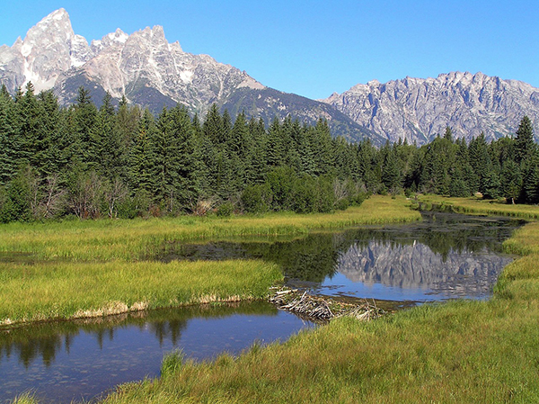
Smokey the Beaver? Beaver Dams and Wildfire
Landsat helped confirm and quantify what was only anecdotally known before: beaver dams make wetlands uniquely resistant to wildfires.
Landsat Can Save Federal Agencies up to $7.7 Million Annually in Post-Fire Costs
Using satellite imagery is a cost-effective way to assess burned areas and triage mitigation measures post-wildfire, study found. Federal agencies can save as much as $7.7 million annually in post-fire costs by using Landsat.
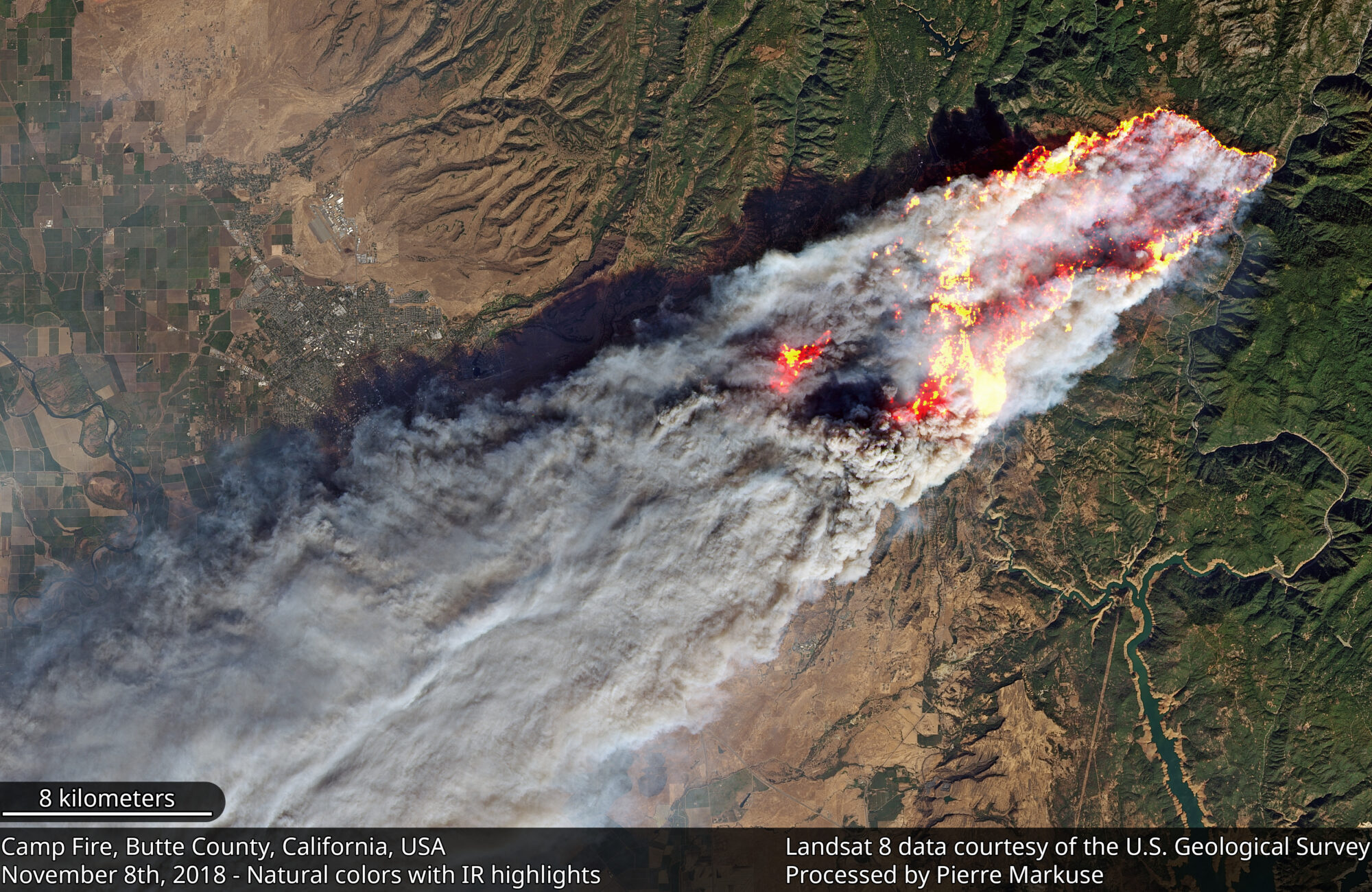
The Synoptic View of California’s Camp Fire: A Scorching Reality of Today’s Fires
Sprawling urban fires that once plagued civilization were thought to be a thing the past—the Camp Fire let us know they are back.
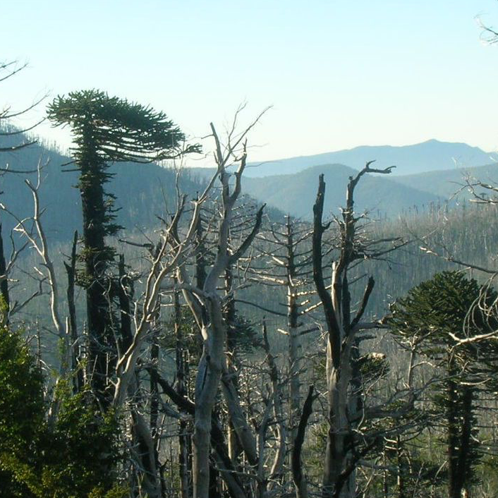
Looking at Burn Severity and Post-Fire Forest Regeneration in Chile’s Andean Cordillera, Home to the Monkey Puzzle Tree
The first study that connects field-measured data with satellite-derived burn severity in this corner of the world.
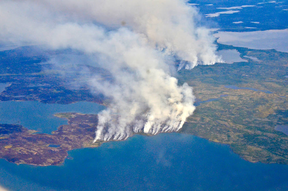
Fires, Floods and Satellite Views: Modeling the Boreal Forest’s Future
The 2014 megafires in Canada’s Northwest Territories burned 7 million acres of forest, making it one of the most severe fire events in Canadian history.
A New Fire Risk Indicator
A new indicator of fire risk for peat moss environments that relys on Landsat 8’s new blue band.
