
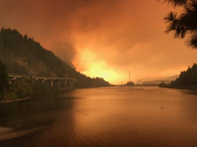
Fire & Water: How Wildfires Can Impact Drinking Water
Fires in forested watersheds that support drinking water supplies can introduce contaminants that overwhelm current treatment capabilities. Earth observation data are helping.
Improving Water Management in New Mexico with Landsat and ECOSTRESS
New Mexico is one of the most arid states in the US, and precise and accurate information on water use is of utmost importance.
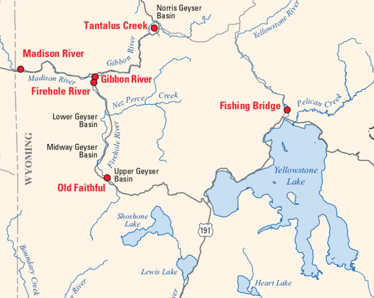
Tracking New Hydrothermal Activity in Yellowstone
Landsat is among the resources that scientists are using to assess hazards and track volcanic activity in Yellowstone.
Coastal Change in the Northwest Territories
Southwest Banks Island has experienced the deleterious effects of climate change.
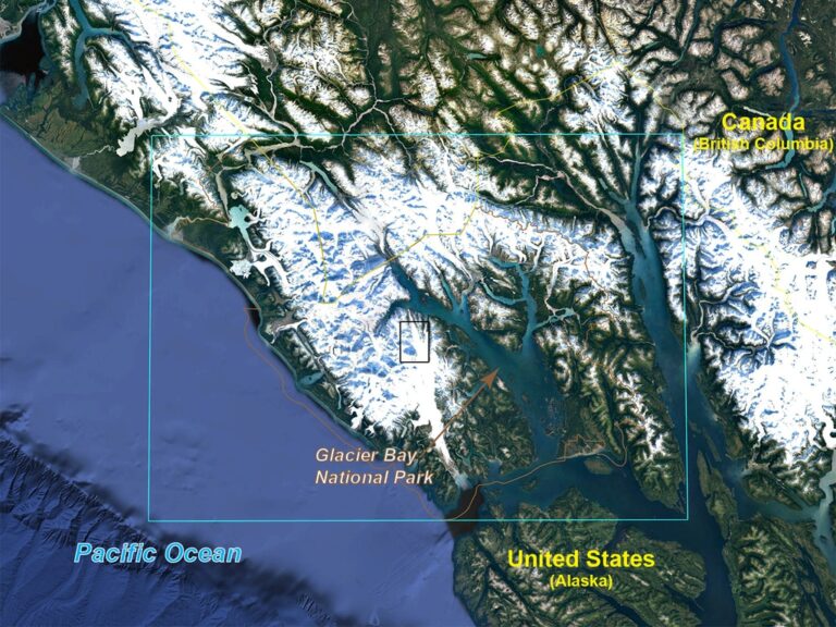
Watching Glacier Bay National Park Change
December 11, 2019 • Dr. Christopher Shuman is a glaciologist with NASA Goddard Space Flight Center and the University of Maryland at Baltimore County. Here is what Chris shared with us
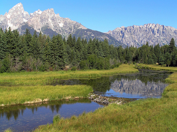
Smokey the Beaver? Beaver Dams and Wildfire
Landsat helped confirm and quantify what was only anecdotally known before: beaver dams make wetlands uniquely resistant to wildfires.

Meet the Researcher: Zhe Zhu, Natural Resources and the Environment
Zhe Zhu has dedicated his research career to learning what’s happening on our planet from satellite images of Earth.
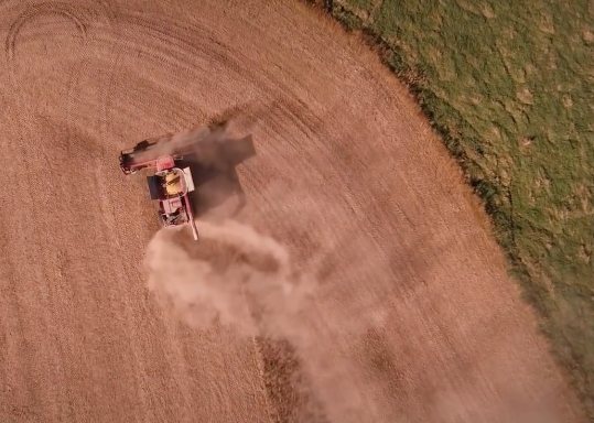
Landsat Helps Pick Winter Cover Crops
Remote sensing can aid the monitoring and evaluation of incentivized farming programs like the one in Maryland.
Improving Water Management in New Mexico with Landsat and ECOSTRESS
New Mexico is one of the most arid states in the US, and precise and accurate information on water use is of utmost importance.
Tracking New Hydrothermal Activity in Yellowstone
Landsat is among the resources that scientists are using to assess hazards and track volcanic activity in Yellowstone.
Coastal Change in the Northwest Territories
Southwest Banks Island has experienced the deleterious effects of climate change.
Watching Glacier Bay National Park Change
December 11, 2019 • Dr. Christopher Shuman is a glaciologist with NASA Goddard Space Flight Center and the University of Maryland at Baltimore County. Here is what Chris shared with us
Smokey the Beaver? Beaver Dams and Wildfire
Landsat helped confirm and quantify what was only anecdotally known before: beaver dams make wetlands uniquely resistant to wildfires.
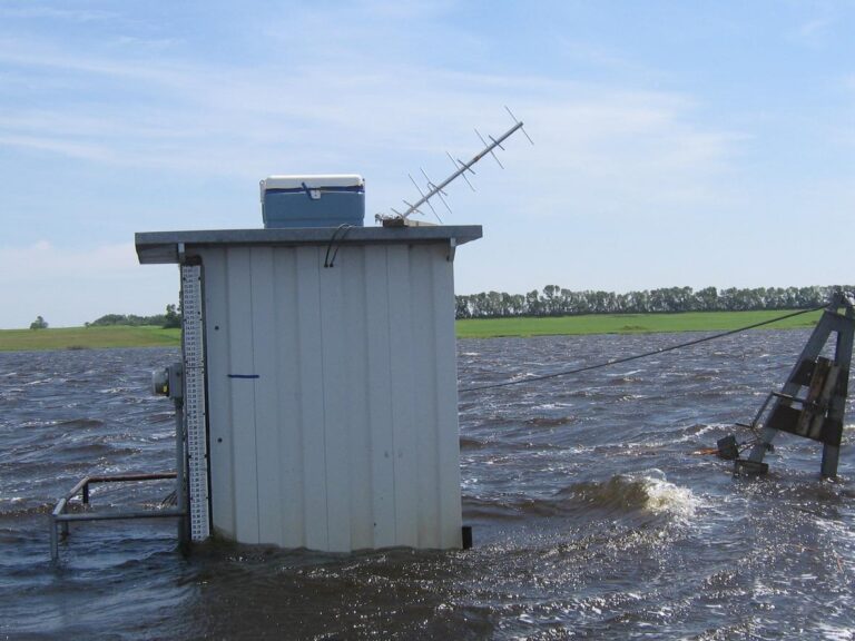
Mapping Past Floods to Help Predict Future Ones
Landsat has enabled a more thorough understanding of how the Central Valley landscape is impacted by floods.
Meet the Researcher: Zhe Zhu, Natural Resources and the Environment
Zhe Zhu has dedicated his research career to learning what’s happening on our planet from satellite images of Earth.
Landsat Helps Pick Winter Cover Crops
Remote sensing can aid the monitoring and evaluation of incentivized farming programs like the one in Maryland.
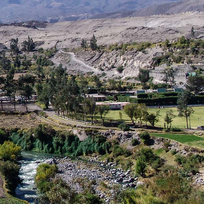
Arid-Region Agriculture in Arequipa, Peru
Landsat has helped map the expansion of intensive agriculture in arid Arequipa, Peru.
Improving Water Management in New Mexico with Landsat and ECOSTRESS
New Mexico is one of the most arid states in the US, and precise and accurate information on water use is of utmost importance.
Tracking New Hydrothermal Activity in Yellowstone
Landsat is among the resources that scientists are using to assess hazards and track volcanic activity in Yellowstone.
Coastal Change in the Northwest Territories
Southwest Banks Island has experienced the deleterious effects of climate change.
Watching Glacier Bay National Park Change
December 11, 2019 • Dr. Christopher Shuman is a glaciologist with NASA Goddard Space Flight Center and the University of Maryland at Baltimore County. Here is what Chris shared with us
Smokey the Beaver? Beaver Dams and Wildfire
Landsat helped confirm and quantify what was only anecdotally known before: beaver dams make wetlands uniquely resistant to wildfires.
Mapping Past Floods to Help Predict Future Ones
Landsat has enabled a more thorough understanding of how the Central Valley landscape is impacted by floods.
Meet the Researcher: Zhe Zhu, Natural Resources and the Environment
Zhe Zhu has dedicated his research career to learning what’s happening on our planet from satellite images of Earth.
Landsat Helps Pick Winter Cover Crops
Remote sensing can aid the monitoring and evaluation of incentivized farming programs like the one in Maryland.
Arid-Region Agriculture in Arequipa, Peru
Landsat has helped map the expansion of intensive agriculture in arid Arequipa, Peru.
