
Avalanches Becoming More Frequent and Powerful in Alaska, Landsat Shows
As global temperatures rise, melting permafrost is expected to cause more frequent and hazardous landslides.
Come Play with Us! Exploring America with Landsat for Earth Science Week 2018
A new 2018 Earth Science Week poster offers inspiring Landsat views of the American landscape and has a fun game of exploration on its reverse side.
Calculating Forest Biomass Using LiDAR, Landsat 8, and Sentinel-2
SDSU post-doc Pedro Oliveira is integrating remote sensing data from airborne LiDAR and Landsat 8 and Sentinel-2 satellites to map the height of the Brazilian Amazon forest canopy.
Landsat, Sentinel Harmony Effort Shows Promising Results in Great Basin
New research from EROS on dryland phenology, is poised to aid land managers’ fight against invasive, fire-prone species that wreak havoc on native landscapes.
Putting Heads Together to Improve Atmospheric Corrections for Medium-Resolution Satellite Data
An international group is working together to find the best atmospheric correction techniques for Landsat 8 and the Copernicus Sentinel-2 satellite series.
Data Record for Tropical Forest Monitoring Extended with New Cloud-Detection Method
A new, highly accurate, automated way to detect clouds and their shadows from satellite images over unusually cloudy places.
Landsat 8 as a Tool for Monitoring Algal Blooms
When algae blanket a lake’s surface, loss of sunlight and—eventually—oxygen, smothers aquatic life.
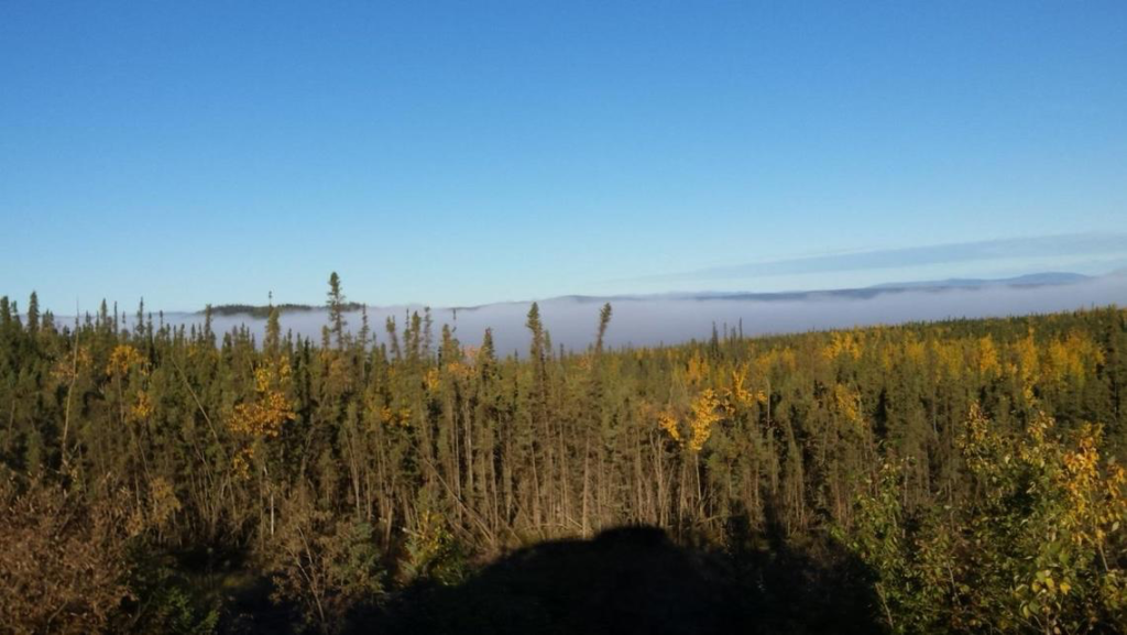
New Study Provides the First Comprehensive, Long-term Look at Alaska’s Changing Ecosystems
This is the first study to document more than three decades of land and water changes across Alaska.
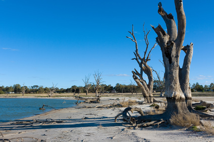
Rain Showers, Flowers, and Floods—Understanding How Vegetation Responds to Flooding and Drought in Australia’s Breadbasket
Using a quarter century of Landsat data, geospatial researchers have mapped and modeled how vegetation responds to water availability across the entire Murray-Darling Basin.
Avalanches Becoming More Frequent and Powerful in Alaska, Landsat Shows
As global temperatures rise, melting permafrost is expected to cause more frequent and hazardous landslides.
Come Play with Us! Exploring America with Landsat for Earth Science Week 2018
A new 2018 Earth Science Week poster offers inspiring Landsat views of the American landscape and has a fun game of exploration on its reverse side.
Calculating Forest Biomass Using LiDAR, Landsat 8, and Sentinel-2
SDSU post-doc Pedro Oliveira is integrating remote sensing data from airborne LiDAR and Landsat 8 and Sentinel-2 satellites to map the height of the Brazilian Amazon forest canopy.
Landsat, Sentinel Harmony Effort Shows Promising Results in Great Basin
New research from EROS on dryland phenology, is poised to aid land managers’ fight against invasive, fire-prone species that wreak havoc on native landscapes.
Putting Heads Together to Improve Atmospheric Corrections for Medium-Resolution Satellite Data
An international group is working together to find the best atmospheric correction techniques for Landsat 8 and the Copernicus Sentinel-2 satellite series.
Data Record for Tropical Forest Monitoring Extended with New Cloud-Detection Method
A new, highly accurate, automated way to detect clouds and their shadows from satellite images over unusually cloudy places.
Landsat 8 as a Tool for Monitoring Algal Blooms
When algae blanket a lake’s surface, loss of sunlight and—eventually—oxygen, smothers aquatic life.
New Study Provides the First Comprehensive, Long-term Look at Alaska’s Changing Ecosystems
This is the first study to document more than three decades of land and water changes across Alaska.
Rain Showers, Flowers, and Floods—Understanding How Vegetation Responds to Flooding and Drought in Australia’s Breadbasket
Using a quarter century of Landsat data, geospatial researchers have mapped and modeled how vegetation responds to water availability across the entire Murray-Darling Basin.
