
By Laura E.P. Rocchio
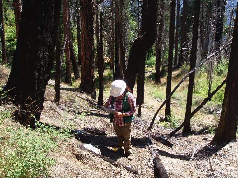
Dr. Shengli Huang is a senior remote sensing scientist with the USDA Forest Service. He has developed a tool to help with annual forest mapping. He presented this work at #AGU16 today; here is what he told us:
Presentation Title
A new computer tool “FastEmap” for mapping annual forest attributes from U.S. forest inventory at 30m resolution
What are the major findings of this research?
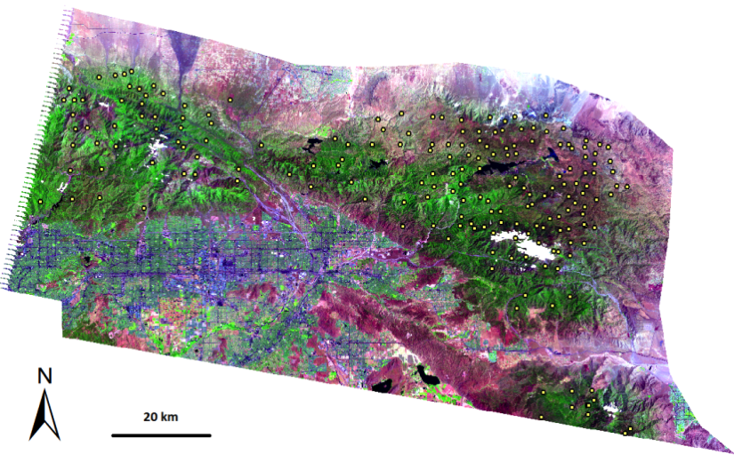
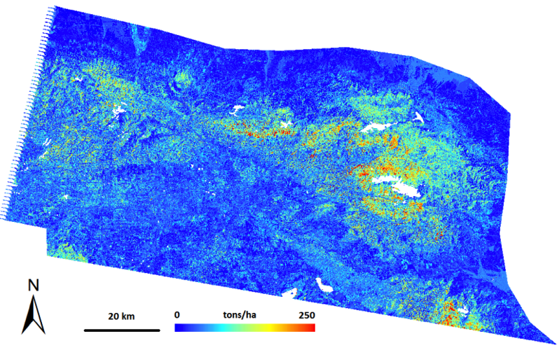
A new “FastEmap” tool was developed. The tool can extrapolate field inventory attributes to spatially continuous maps quickly and automatically. The tool is based on an innovative algorithm consisting of four major modules, including “intensifying plots”, “stepwise regression”, “iterative imputation”, and “interpolation and filling”.
What are the implications of your findings?
“FastEmap” is a nonparametric tool that can be applied anywhere Landsat imagery and corresponding field survey data are available. The tool assimilate different geospatial datasets and remote sensing data, solve the spatial mismatch between images and field plot coordinates, and can predict a suite of attributes simultaneously. Specifically, USDA Forest Service (USFS) Forest Inventory and Analysis (FIA) program is restricted by law to distribute actual plot coordinates, which significantly limits the application of FIA survey data. “FastEmap” overcomes this obstacle by distributing 30m maps directly so the public doesn’t need to know the actual field locations.
What insight did you gain from Landsat that would have been impossible to glean otherwise?
Landsat offers a global data set frequently; this allows “FastEmap” to provide time series monitoring maps if field survey is conducted in a rotation cycle (e.g., the rotation cycle of a complete FIA inventory is 5-10 years). The 30 meter resolution of Landsat is comparable with survey plot size in many national forest inventory programs in the world; this allows “FastEmap” to be applied to many countries.
Do you think your “FastEmap” tool will be used more broadly by the U.S. Forest Service?
“FastEmap” has already been broadly used by USFS to produce basal area, species composition, forest type, forest age, tree density, quadratic mean diameter, aboveground biomass, and wood cubic volume for several projects, including wildlife habitat, forest mortality, fire fuel management, and carbon sequestration. “FastEmap” is being adopted for other projects related to species invasion and climate change. We expect it will be used by multi-agencies and international organizations in the future.
Co-authors:
Carlos Ramirez
USDA Forest Service
Kama Kennedy
USDA Forest Service
Jeffrey Mallory
USDA Forest Service
Anyone can freely download Landsat data from the USGS EarthExplorer or LandsatLook.
Further Reading:
+ Landsat Abounds at #AGU16


