
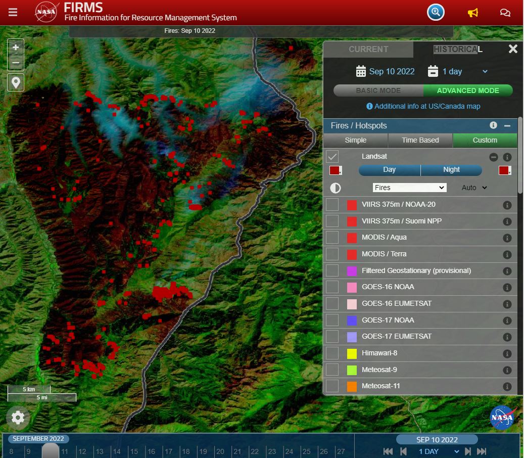
Landsat Fire and Thermal Anomaly Data Now Part of FIRMS
Thirty-meter Landsat 8 and 9 data have been added to NASA’s Fire Information for Resource Management System (FIRMS).
California’s Trees are Dying, and Might Not Be Coming Back
Landsat has shown that wildfires and climbing temperatures have caused a 6.7 percent decline in California tree cover since 1985.
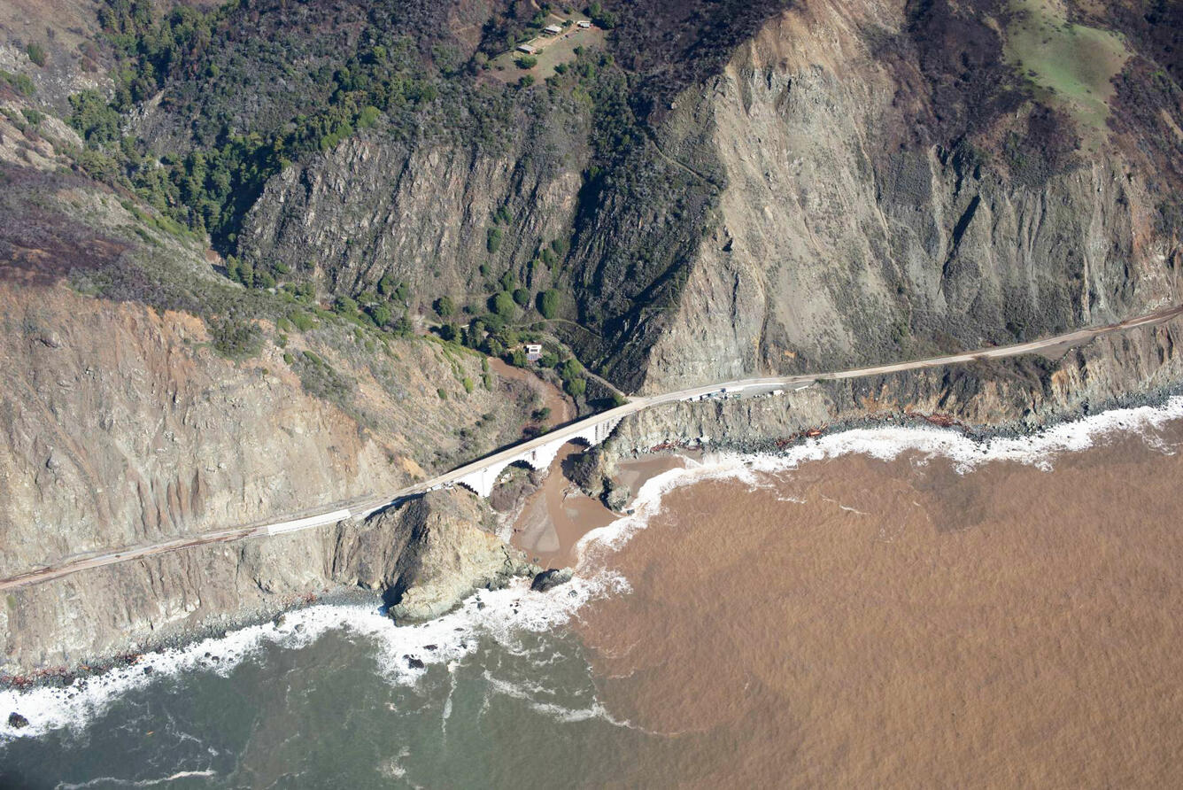
When Fire+Flood=Beach
A new study combines decades of Landsat and Sentinel-2 imagery with hydrologic and oceanographic data to look at how changes on land affect coastlines in Big Sur, California.
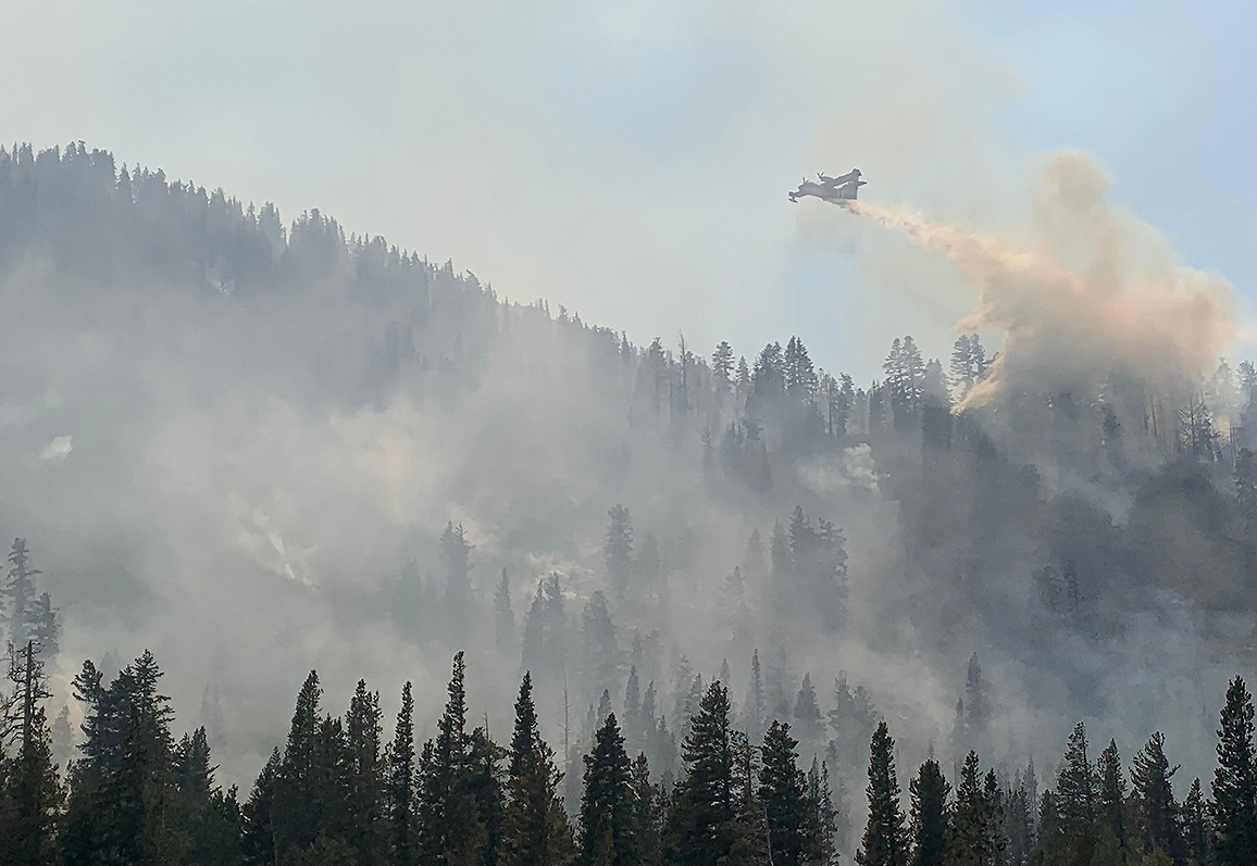
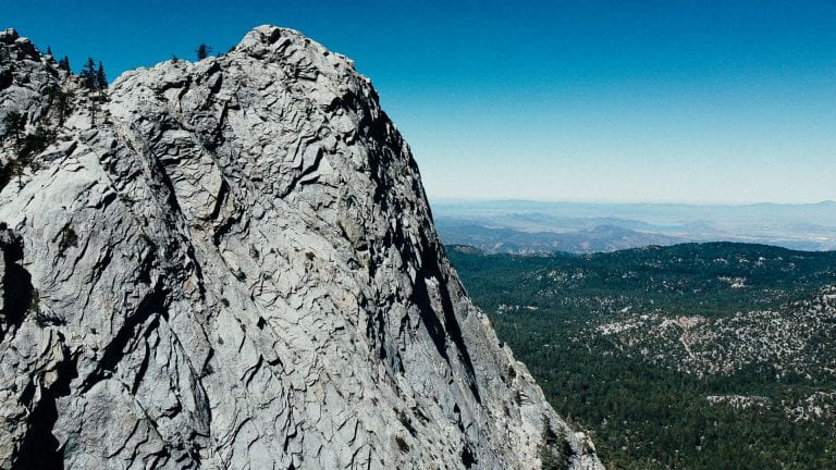
Climate Change Pushes Wildfires to New Heights
Wildfires in the western United States have been spreading to higher elevations over the past few decades due to warmer and drier conditions that are clearly linked to climate change.
The Stuff of Trees: Three-Decades of Forest Biomass Measured Across Canada
A new study reports a net increase of 5.38 petagrams of forest biomass between 1984 and 2016; carbon-wise, that is equivalent to a train of loaded coal cars long enough to wrap itself around Earth nearly 34 times.
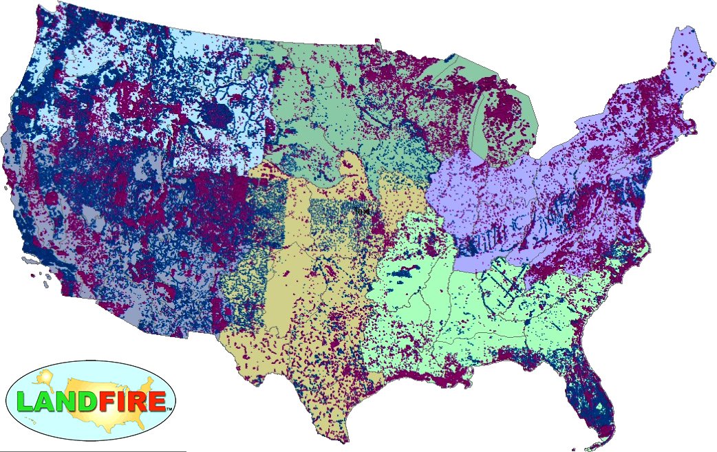
LANDFIRE Remap Is Here
LANDFIRE has released its Remap dataset; new techniques and new data provide significant improvement.
