
Creating a Volcanic Plume Elevation Model
Using Landsat 8 to create three-dimensional maps of volcanic ash plumes.
Apalachicola's Disappearing Swamp
The hardwood swamp along the Apalachicola River is slowly replaced by bottomland hardwood forest.
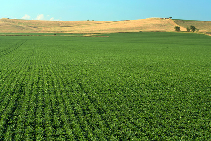
Mapping Croplands Over the U.S. High Plains Aquifer
Using Landsat to map croplands over the U.S. High Plains Aquifer.
Managing Water in Conflict-Torn Regions
Understanding the relationship between land use and river flows in the Yarmouk basin.
Managing Brush on Western Rangelands
An approach for evaluating brush management conservation.
Dust on a Glacier
The authors use Landsat imagery collected between 1996–2016 to analyze trends and variability in snow/ice albedo over the Himalayas.
The Eroding Hamlet of Paulatuk
The potential impacts of climate change on the Hamlet of Paulatuk in the Canadian Arctic are erosive.
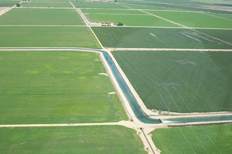
Watching Water Use in the Southwest
Water use trends observed in the Southwestern U.S. over three decades.
The Poleward March of Mangroves
Mangrove expansion has been observed in some subtropical locations around the world.
Reassessing Mass Balance in West Antarctica
Mr. Chuter presented a poster on new mass balance estimates and velocity changes for parts of West Antarctica.
Landsat Abounds at #AGU16
Over 375 presentations at this year’s AGU Fall feature Landsat.
Landsat Maps Global Surface Water
Quantifying changes in global surface waters over the past 32 years.
Landsat Images Provided to the Disaster Charter This Month
You can think of the Charter as a one-stop-shop for impact maps.
Boston University Researchers Use Landsat to Discern Patterns of Deforestation Through the Decades
Colombia loses hundreds of km2 of rainforest every year to agriculture and industry.
Dust on a Glacier
The authors use Landsat imagery collected between 1996–2016 to analyze trends and variability in snow/ice albedo over the Himalayas.
The Eroding Hamlet of Paulatuk
The potential impacts of climate change on the Hamlet of Paulatuk in the Canadian Arctic are erosive.
Watching Water Use in the Southwest
Water use trends observed in the Southwestern U.S. over three decades.
The Poleward March of Mangroves
Mangrove expansion has been observed in some subtropical locations around the world.
Reassessing Mass Balance in West Antarctica
Mr. Chuter presented a poster on new mass balance estimates and velocity changes for parts of West Antarctica.
Landsat Abounds at #AGU16
Over 375 presentations at this year’s AGU Fall feature Landsat.
Landsat Maps Global Surface Water
Quantifying changes in global surface waters over the past 32 years.
Landsat Images Provided to the Disaster Charter This Month
You can think of the Charter as a one-stop-shop for impact maps.
Boston University Researchers Use Landsat to Discern Patterns of Deforestation Through the Decades
Colombia loses hundreds of km2 of rainforest every year to agriculture and industry.
